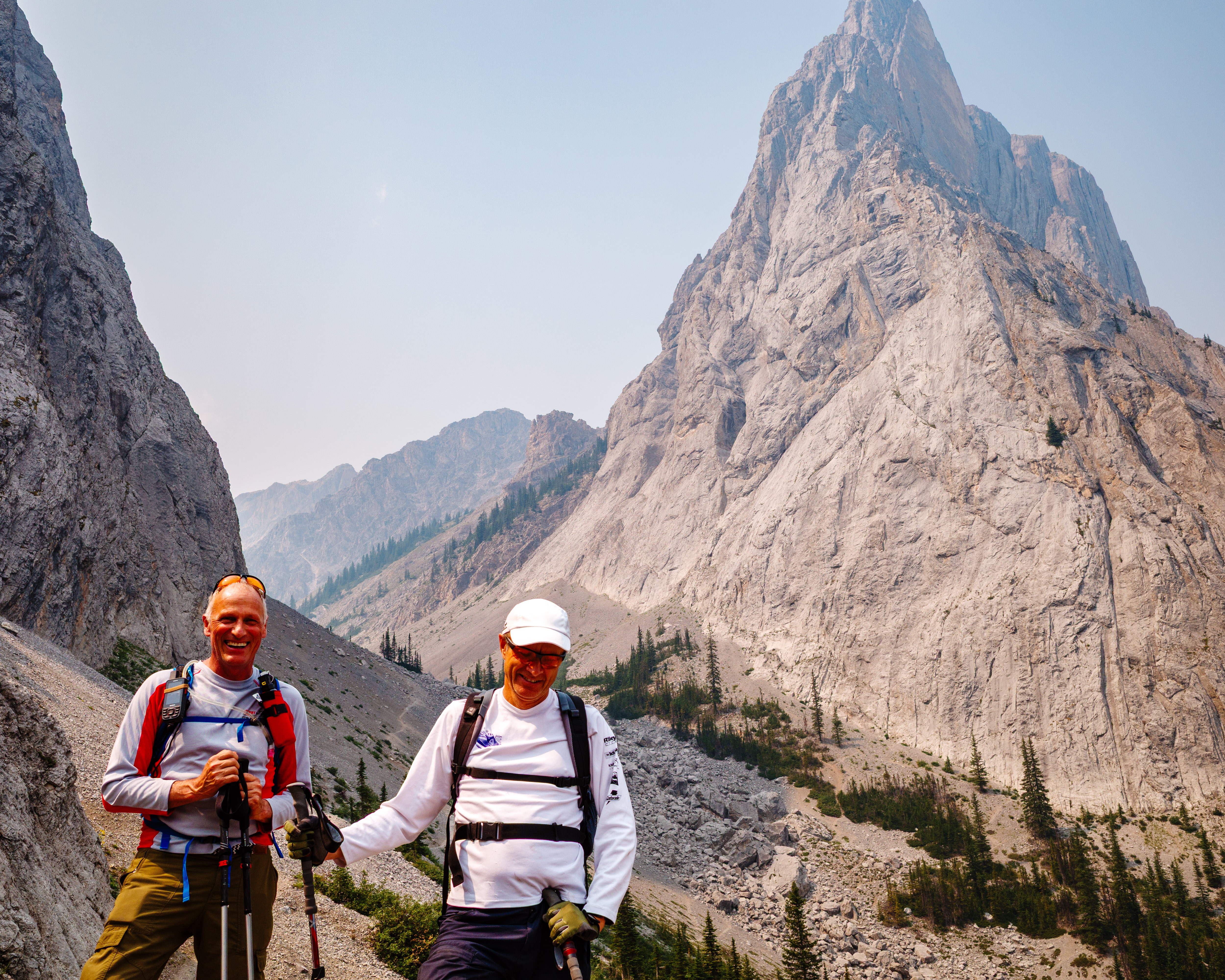
Are there certain places you’ve heard about your whole life? Places you’ve wondered what it might be like to visit? Over the weekend, we made a visit to one such mysterious and notable place: Moose Jaw, Saskatchewan. This is a place that everyone seems to have heard about. After all, it’s a name you remember.
For Deborah and me, there have been tenuous connections to Moose Jaw over the years: family, friends, work colleagues who hail from there. More recently, and more directly, our son Daniel has been stationed in Moose Jaw as an RCAF pilot trainee.
As for initial impressions, Moose Jaw seems to have the whole range covered. You see, the city’s former motto was The Friendly City, but that has been changed to Canada’s Most Notorious City. Hmmm. This was clearly another reason to visit. So we did. And we are very glad we did!
First, that name
This city of 33,000—the fourth largest in Saskatchewan—is located at the confluence of the Moose Jaw River and Thunder Creek, about an hour west of Regina.
The name Moose Jaw is said to come from a phrase in the Cree language, which translates to “warm place by the river”. This phrase likely refers to the sheltered valley where the city is located. Alternatively, the name may have come from the resemblance of the river’s shape to a moose’s jawbone. Whatever the origin, the name is anything but ordinary.
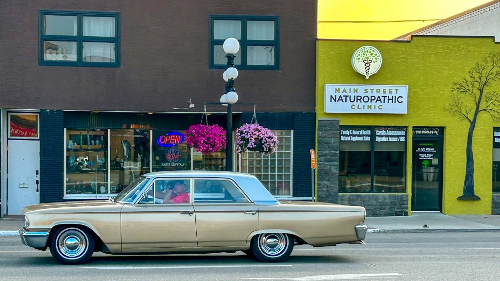
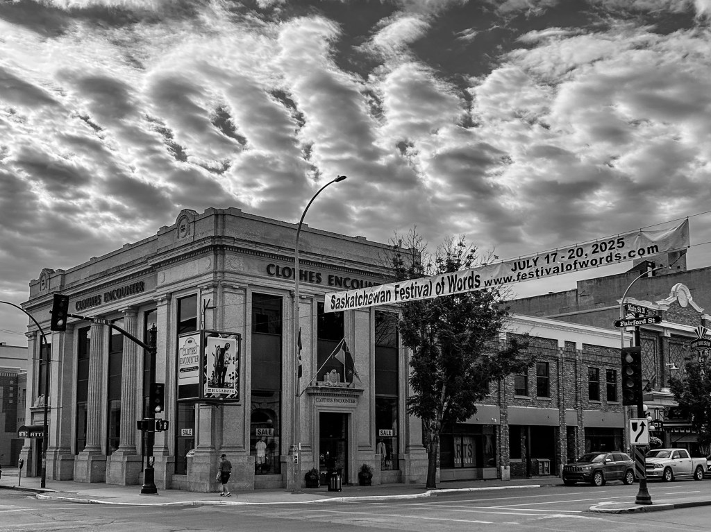
Moose Jaw was a historically important location for the economic development of western Canada, as it was a key railroad hub for the Canadian Pacific Railway. With its wide downtown streets and early 20th-century architecture, it gives the impression of a city that enjoyed some influence.
What we liked
In short, almost everything!
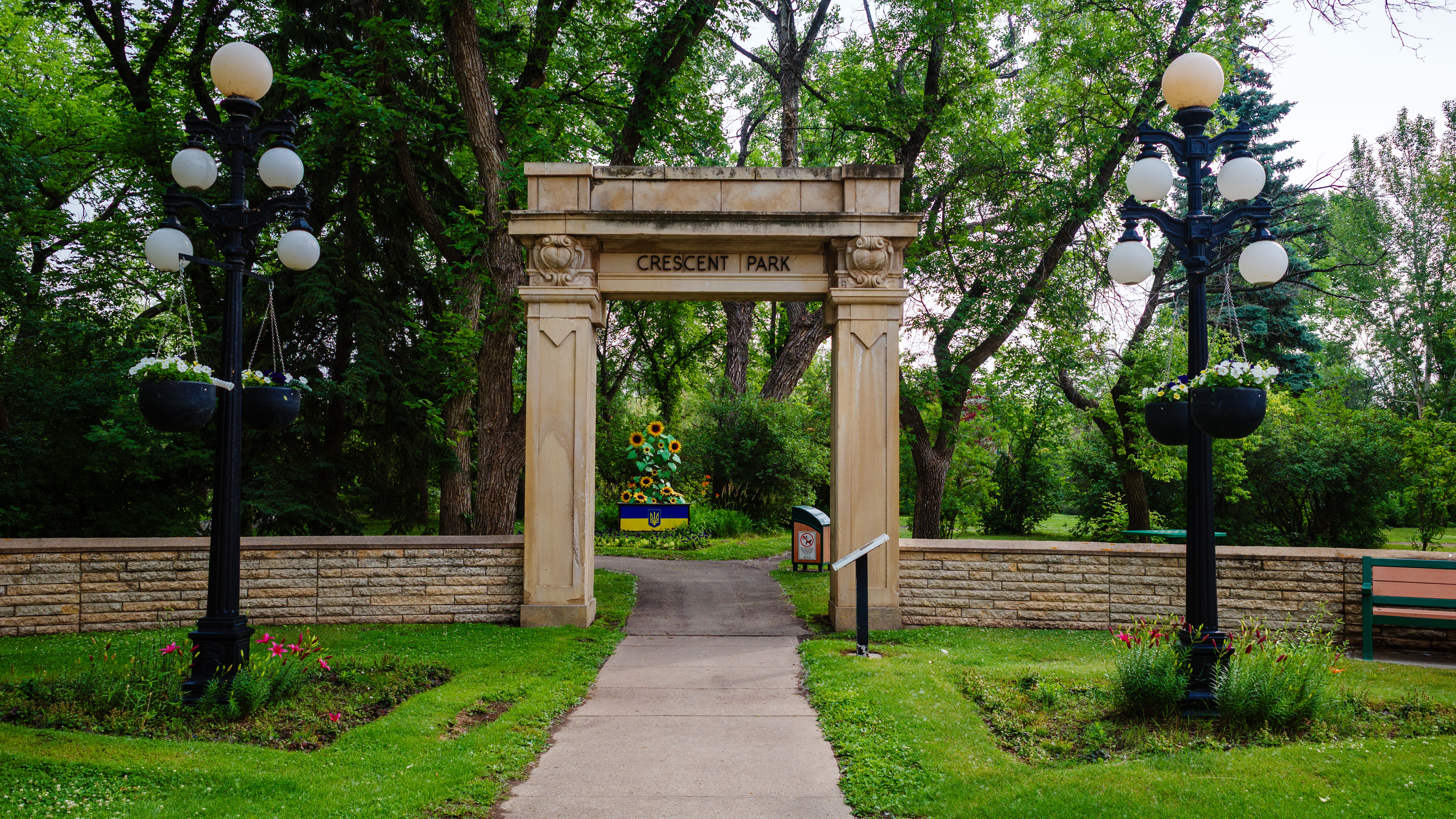
We stayed in the stately Grant Hall Hotel, right on Main Street. In no time, we discovered lovely Crescent Park, a few steps from the hotel. We crossed the street to the bustling Himawari Sushi restaurant, where we enjoyed an excellent dinner. It was delicious, maybe more so because it was so unexpected.
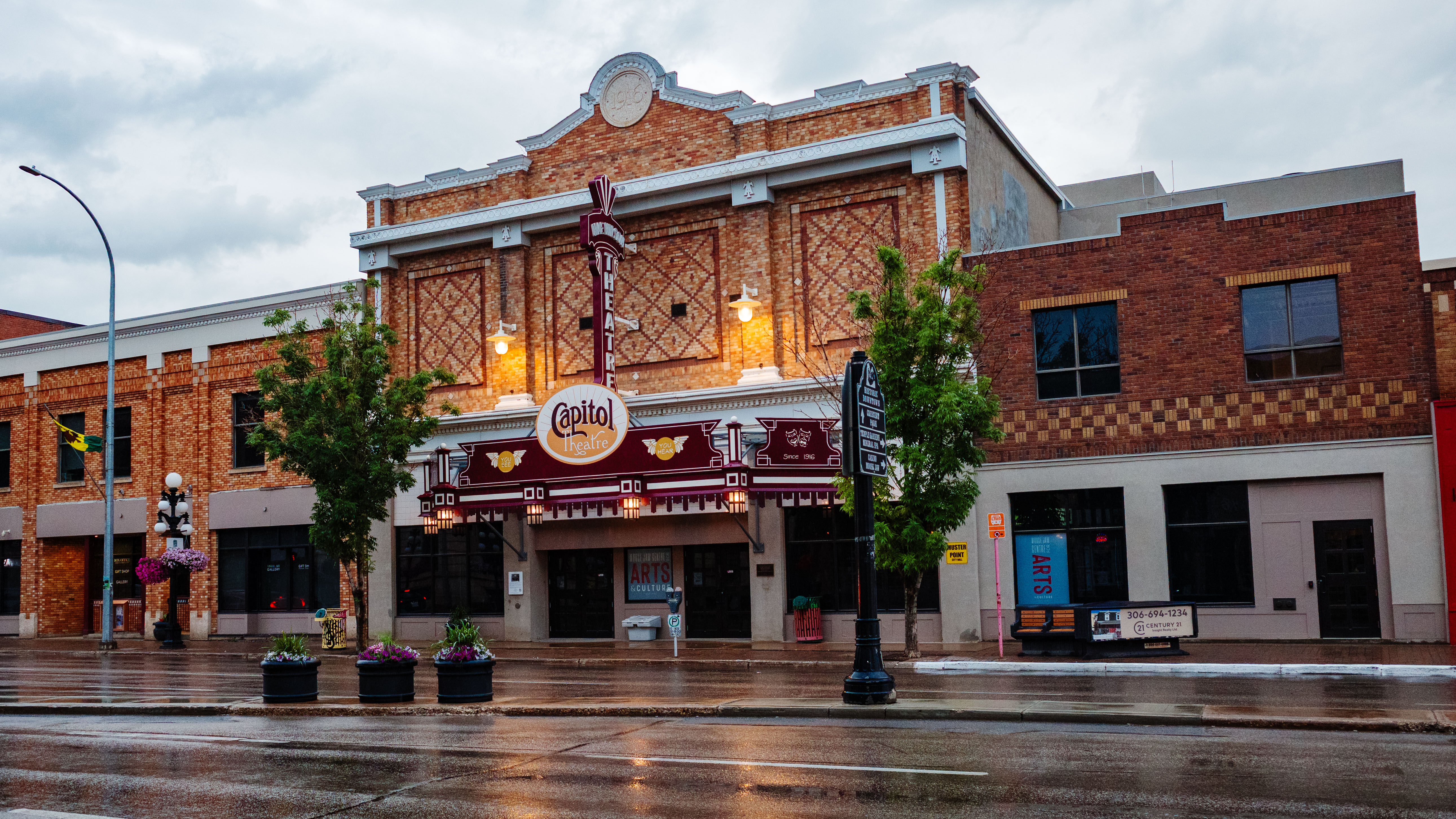
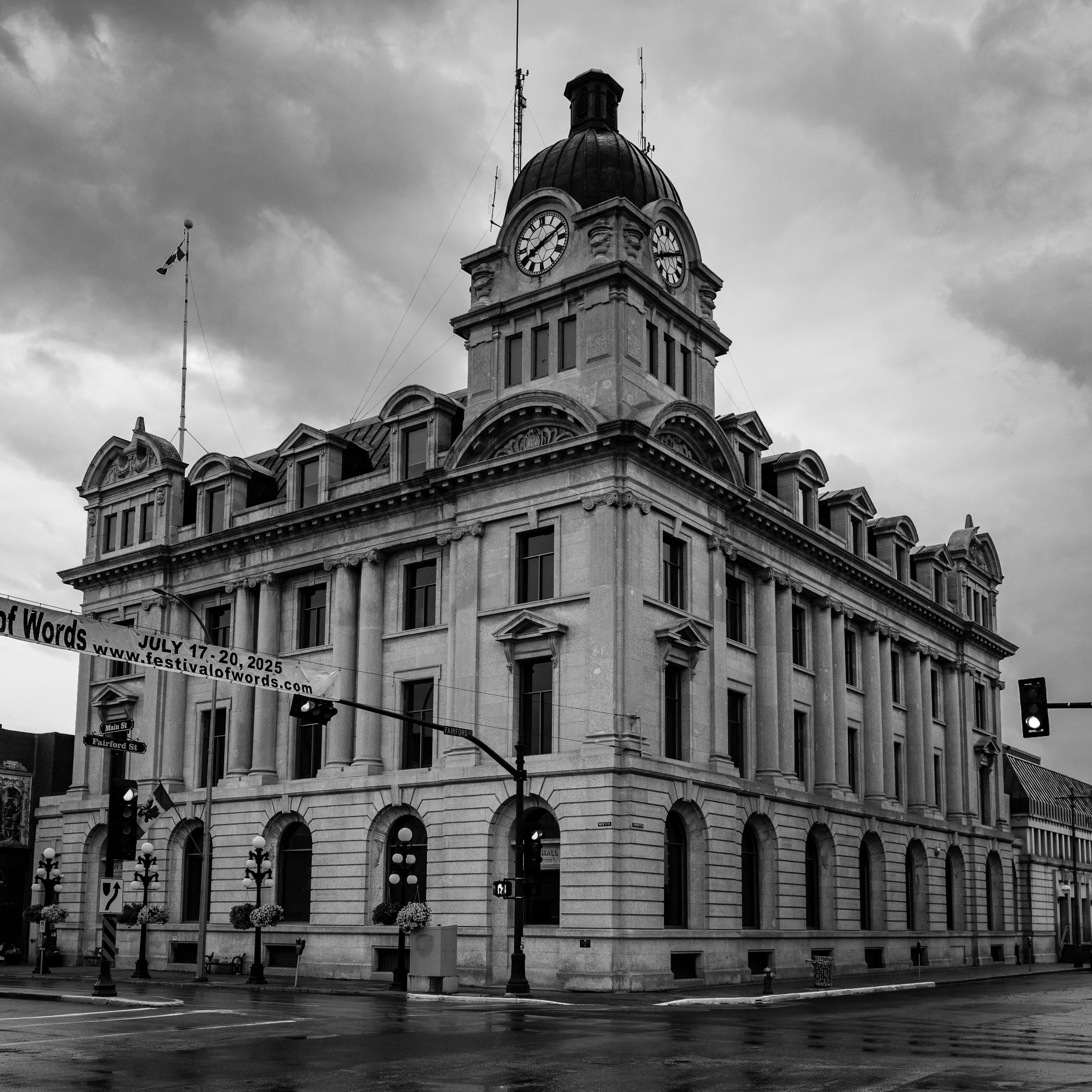
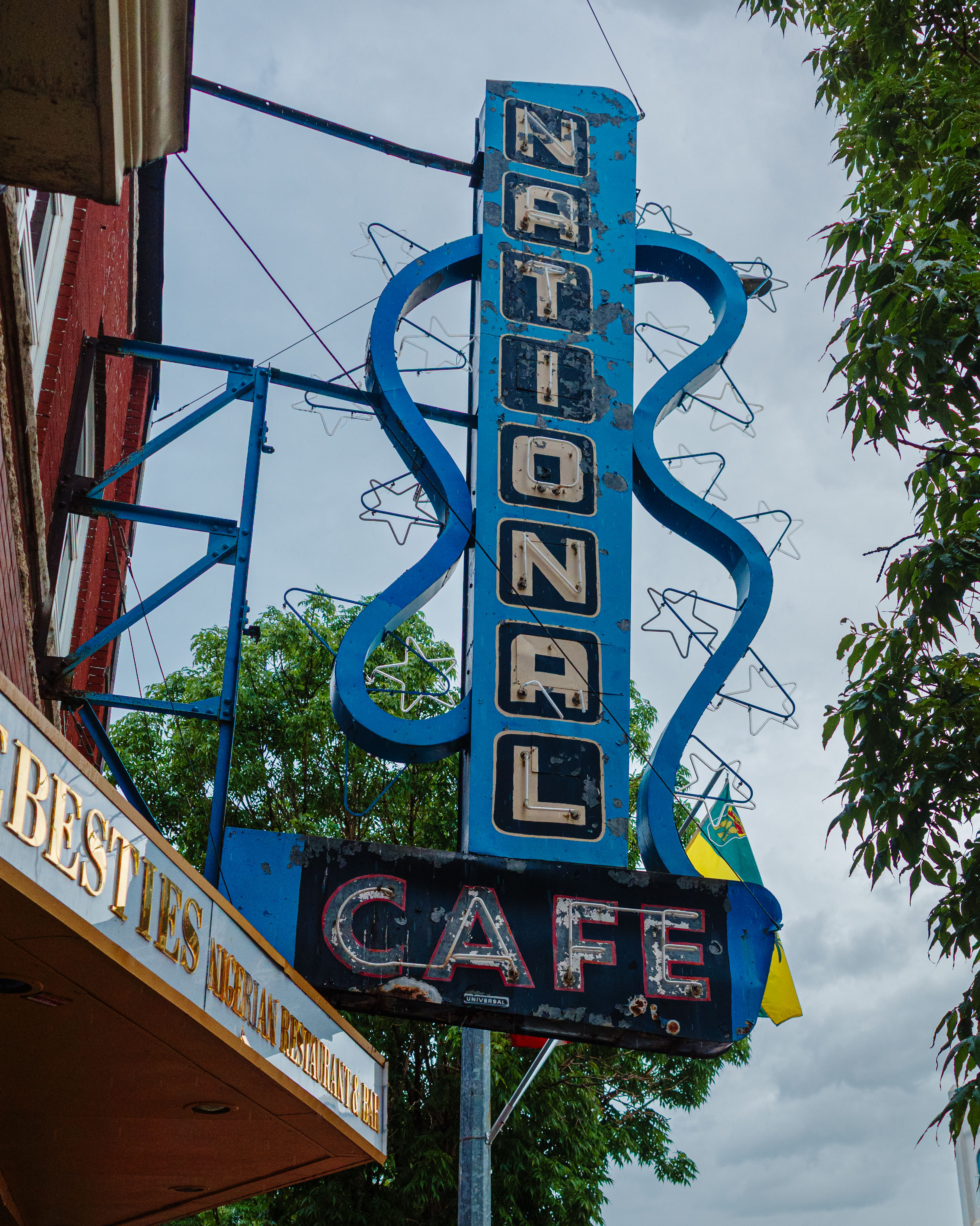
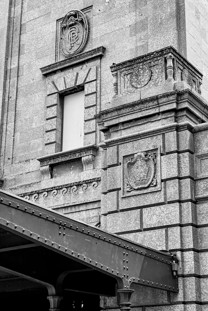
After dinner, we walked a few blocks down Main Street in persistent rain. We noticed the many architectural gems—City Hall, the Capitol Theatre, the CPR train station. This is a city with a rich history. We retired to the hotel and crossed our fingers for a break in the weather, as we had a busy schedule for the next day.
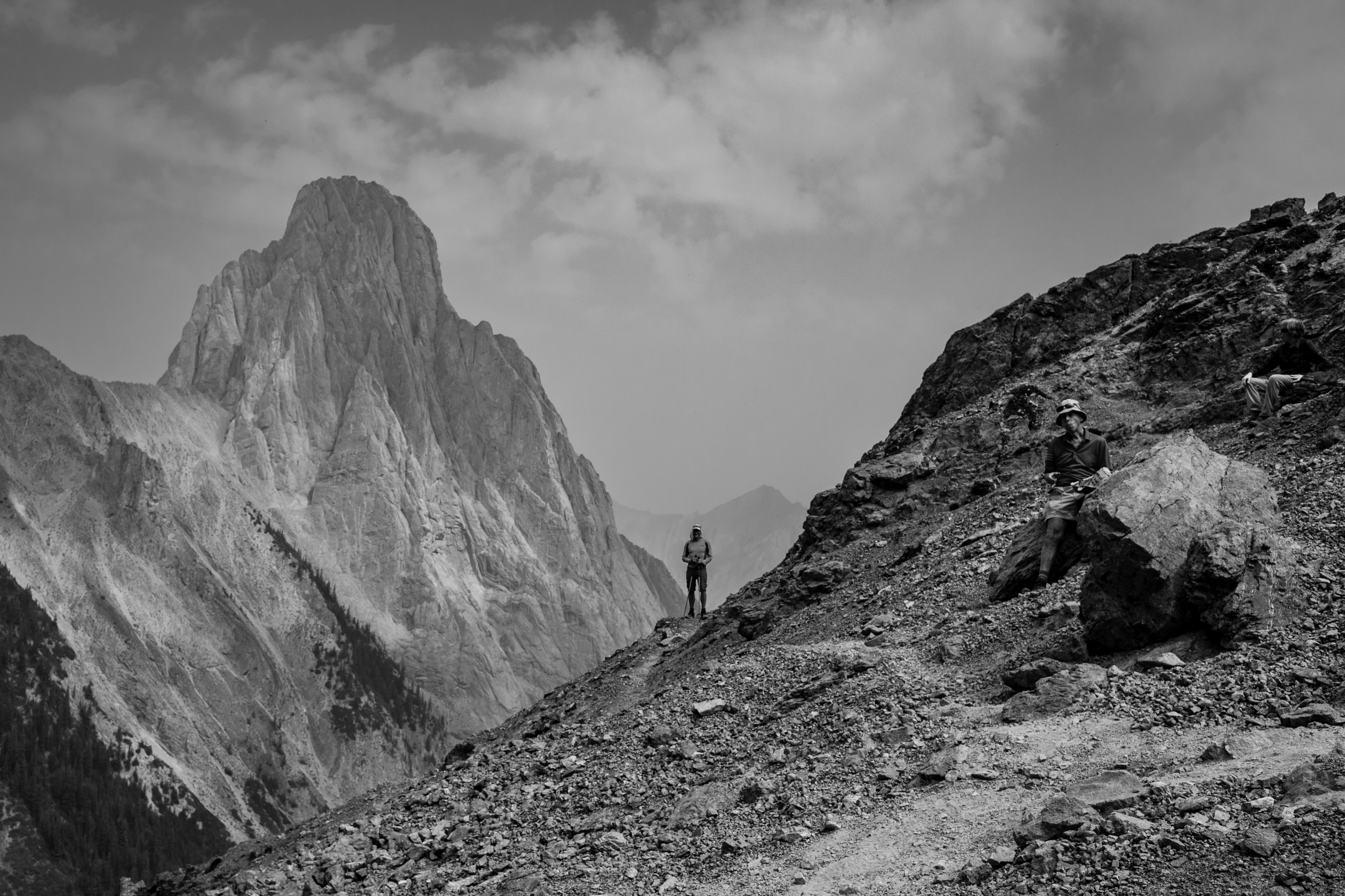
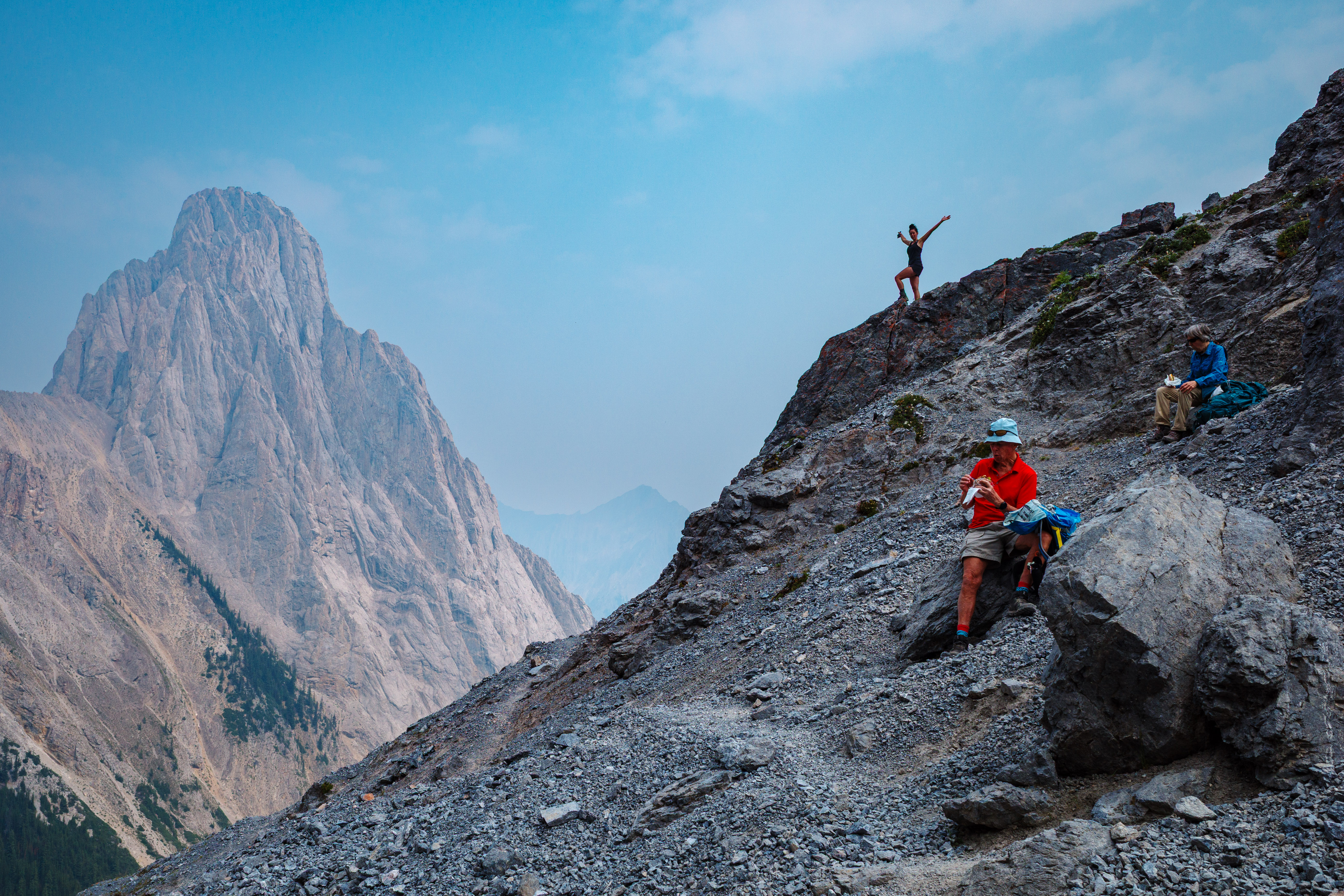
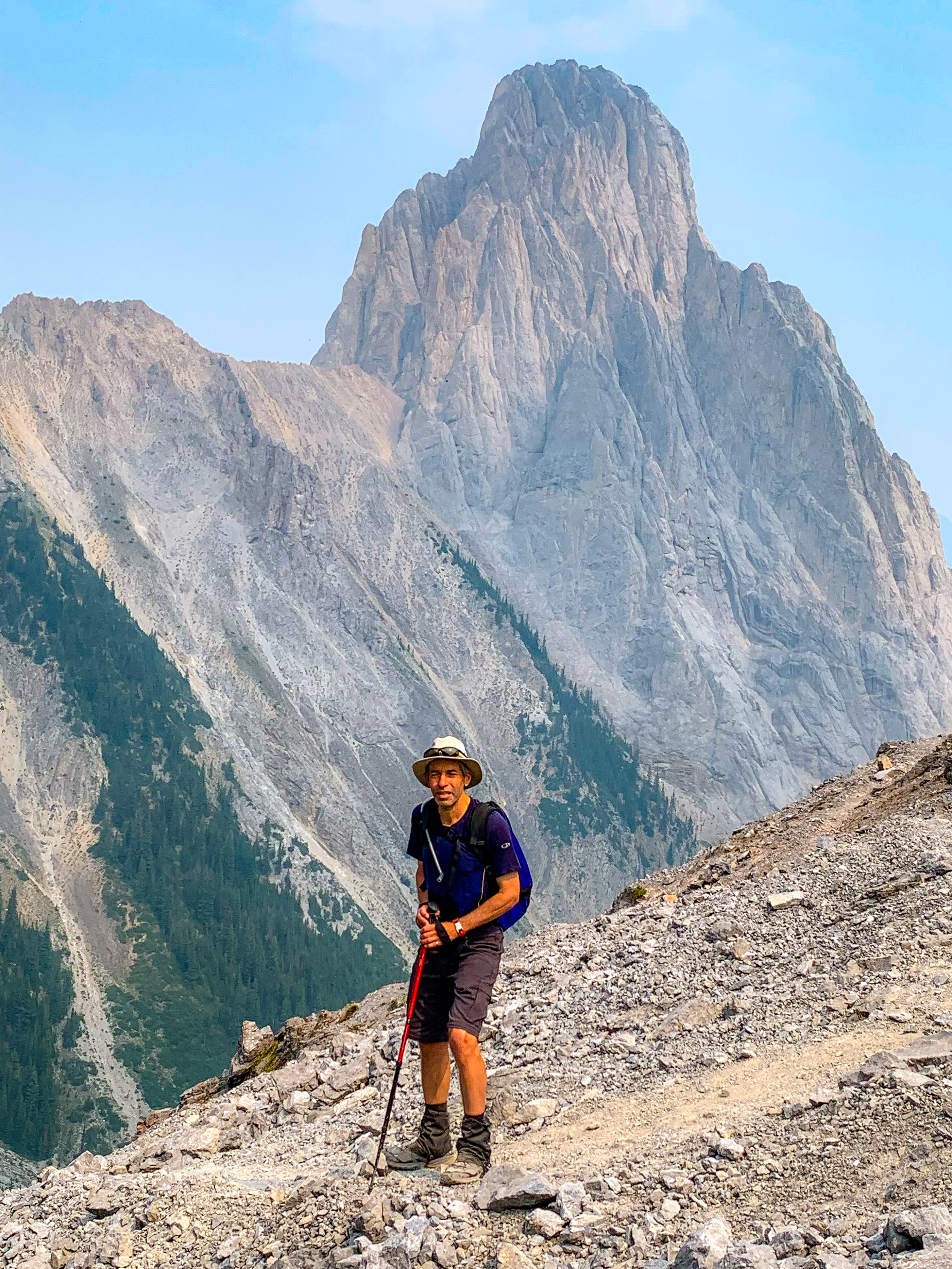
We lucked out in the weather department, although Saturday morning brought a smoky sky due to nearby wildfires. Fortunately, it wasn’t bad enough to put a crimp in our plans. We met with Dan and got a tour of the 15 Wing Air Base. That meant a chance to take in some aviation action up close. We walked through the CT-156 Harvard II hangar and watched a few planes taking off and doing maneuvers. We also peeked in at the simulators and the training rooms. Very cool!
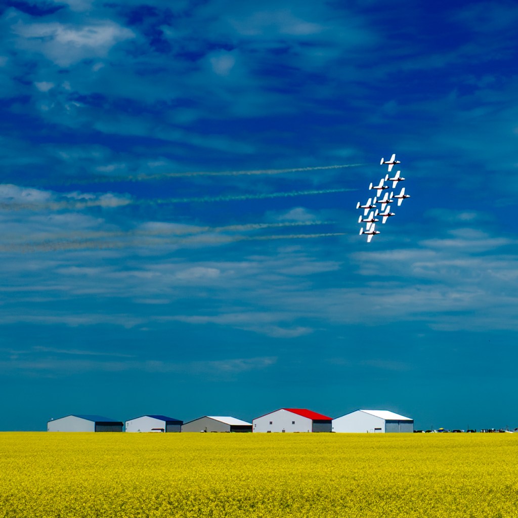
One of the highlights of our visit was an aerobatic display by Canada’s Snowbirds, the famous flight team of the Royal Canadian Air Force. Officially, they’re known as the 431 Air Demonstration Squadron, and Moose Jaw is their home base. We enjoyed 20 minutes of thrilling formation flying from the perfect viewing location that Dan had scouted out for us. It was breathtaking!
There was more—more great meals, more sightseeing, more history. We did touristy things, like the Tunnels of Moose Jaw Chicago Connection guided tour. (The city’s possible connection to the gangster Al Capone is where its “notorious” reputation comes from, by the way.) The tour was good fun.
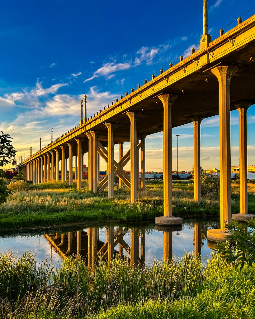
We did artsy things, like the impressive Moose Jaw Museum and Art Gallery. Then, as the sun was setting, we found a couple of beautiful locations for photos, like these taken under the Thunderbird Viaduct (also known as the 4th Avenue Bridge).
Even a Photo Run!

I came prepared for a short photo run while I was in town. So, with the prospect of a warm day ahead, I got up early and jogged some of the downtown streets. What I found was more pleasant surprises.
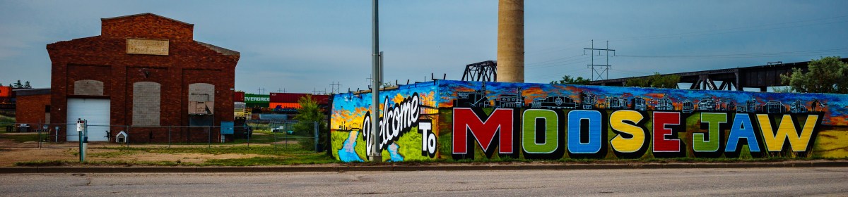
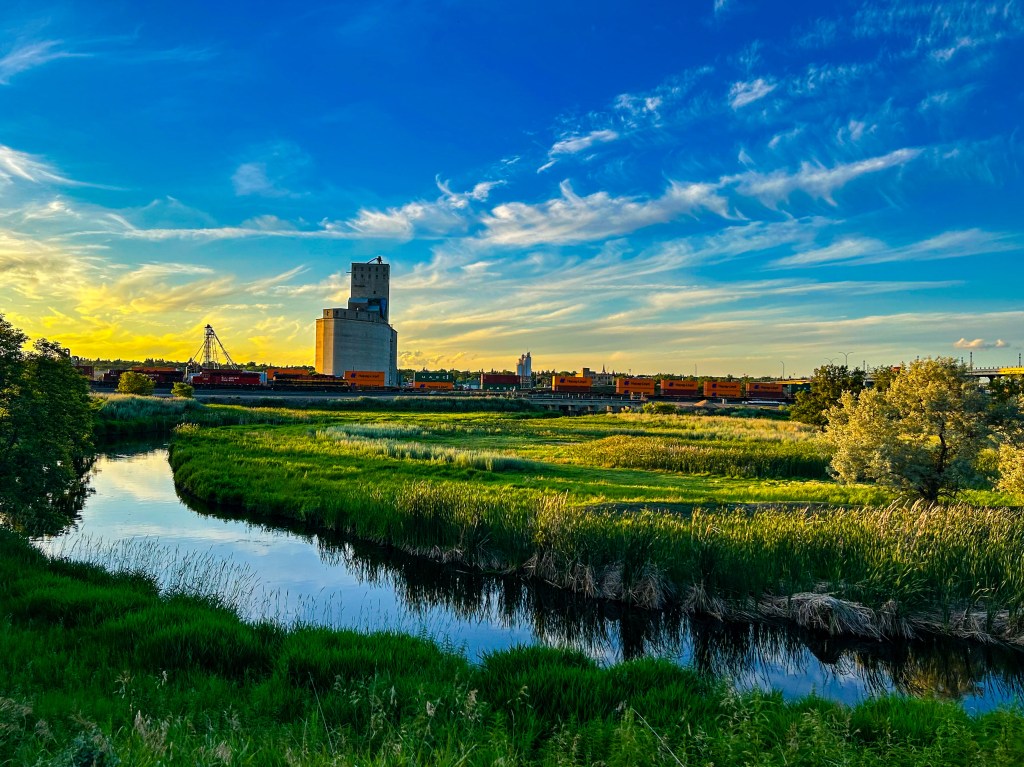
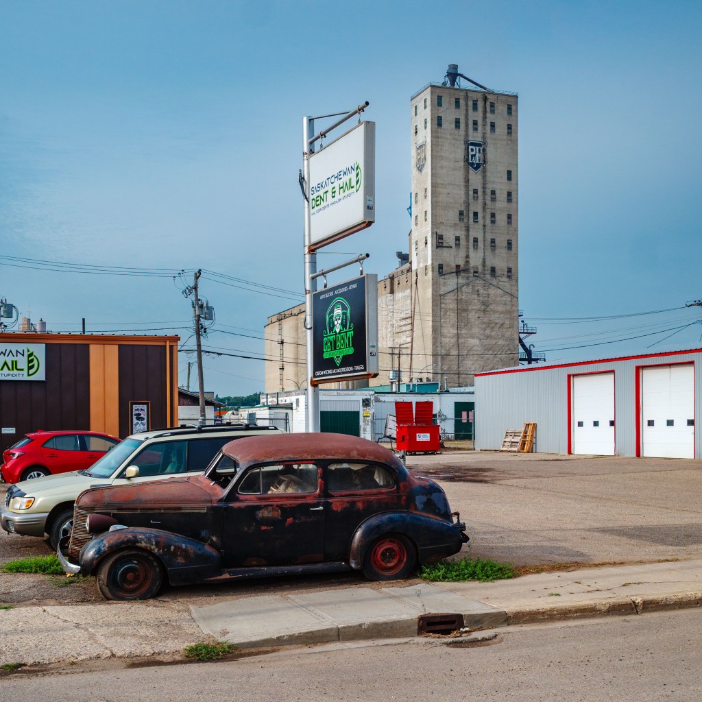
I ran by the historic 1932 Natatorium in Crescent Park—today we would call it a pool. I found some murals in the downtown area. And I checked out the imposing Parrish & Heimbecker grain elevator, adjacent to the rail line just off High Street. All before breakfast!
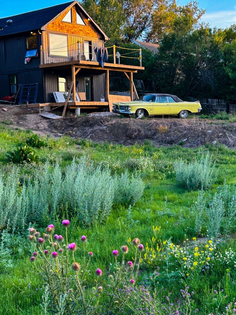
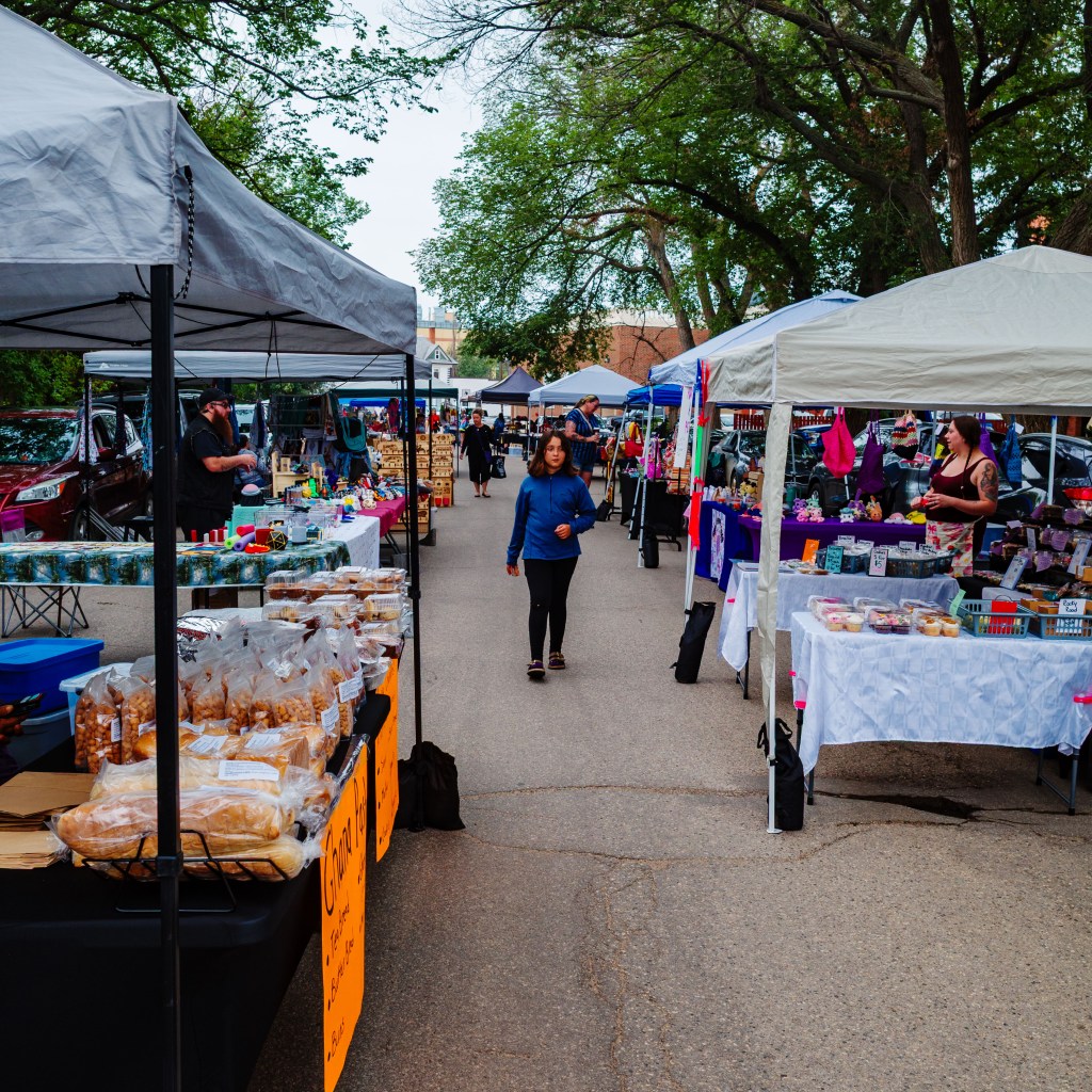
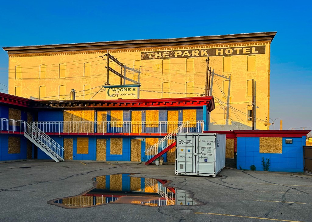
Here are a few more photos, taken in and around downtown Moose Jaw. There was no shortage of photo opportunities!
Wrapping up
We couldn’t help but feel that we should have visited Moose Jaw years before. As we grudgingly headed west for home, it was with a feeling that we had found a real treasure on the prairies. We would welcome the chance for another visit, if we should be so lucky.
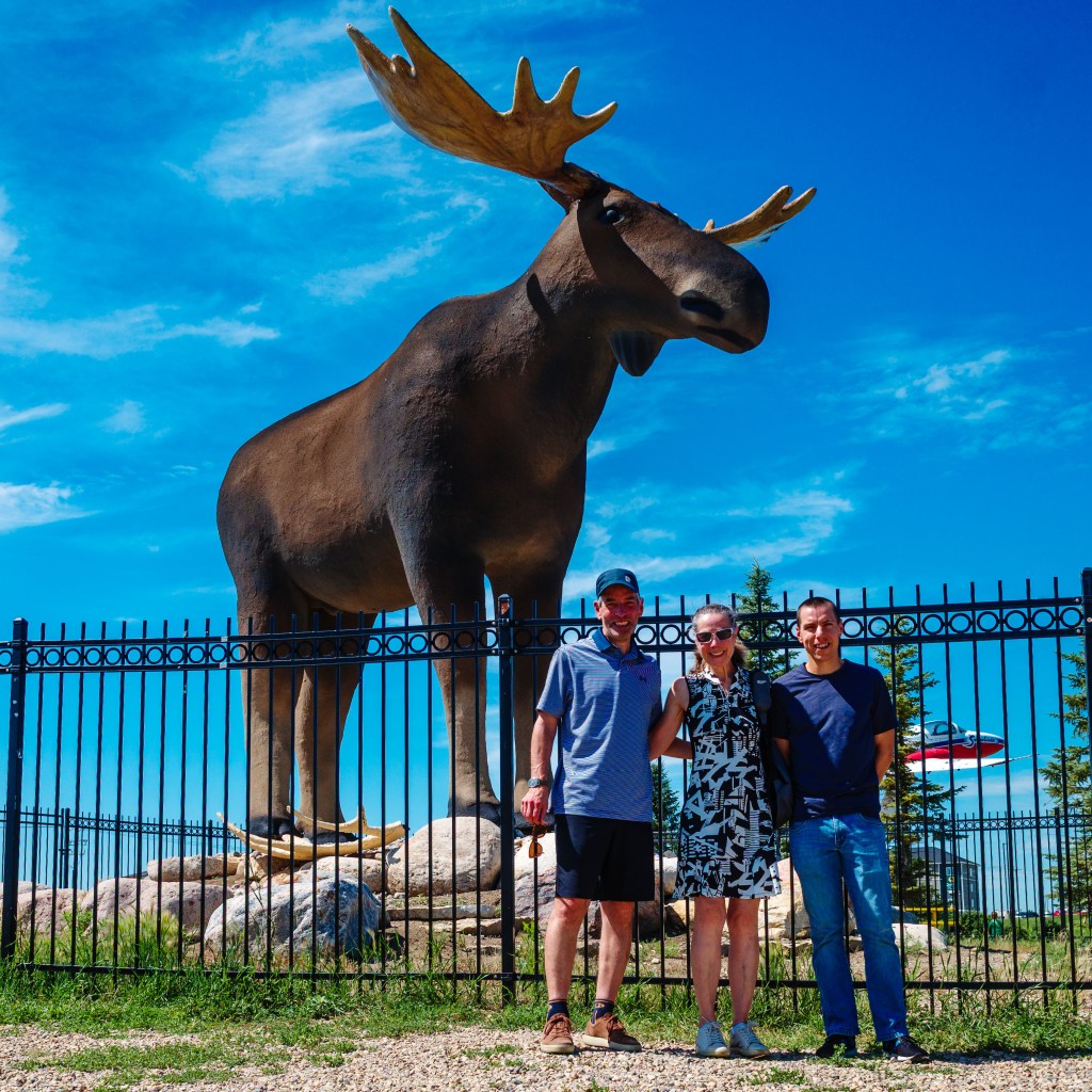
Before we left town, we had to visit Mac the Moose, the city’s mascot. Even here, we found a story. You see, in 2019, Mac lost his title of “world’s tallest moose” to Storelgen, a steel moose sculpture in Stor-Elvdal, Norway. Not to be outdone, the citizens of Moose Jaw rallied and constructed a new set of antlers for Mac, to ensure he could once again proudly guard the eastern entrance to the city. (To be fair, Mac’s initial pair was pretty wimpy. And to avoid an international incident, I will keep my comments about the relative merits of each sculpture to myself…) But I will say, congratulations to Mac and the whole city!
Until next time, be well and BE FAST!