Magnificent Japan: Part 3

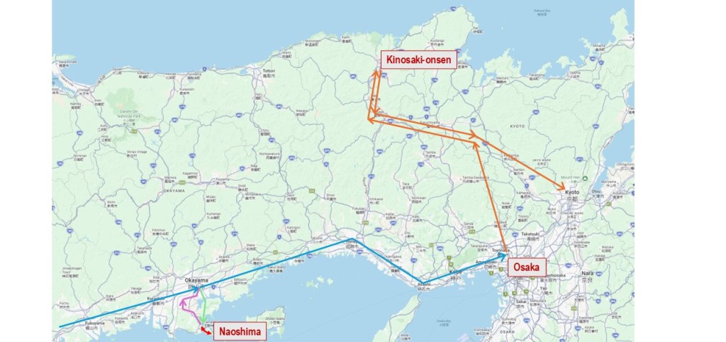
This post is my third from our recent Japan trip. I’ve dealt with the logistics of our travels in Part 1 and Part 2 of the series, and I have a lot to cover, so I’m going to jump right in.

Historic Kyoto

Kyoto is a must-see destination in Japan. It’s the capital city of Kyoto Prefecture in the Kansai region, and it has a population of 1.5 million. Interesting facts, but totally irrelevant, because Kyoto’s rich history makes it so much more than a compilation of facts and figures. Kyoto was the seat of imperial power in Japan for eleven centuries, from 794 to 1869.

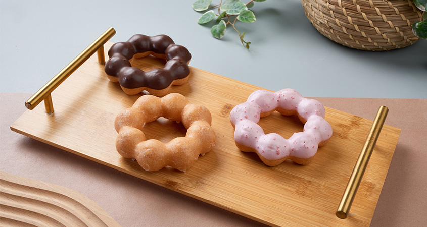
Our time in Kyoto was short, and we made a false start just getting out of Kyoto Station—an impressive but rather intimidating building. We regrouped at a Mister Donut, where we shared a Pon de Ring, their signature mochi donut. (Their photo too.) I’ll admit this was a stop I’d wanted to make for nearly two weeks. It was worth the wait. Delicious!

With our courage restored, we successfully hailed a cab and headed for the Hotel Seiryu Kyoto Kiyomizu. The hotel, set in the preserved walls of a former school, had us speechless. It was spectacular. Trendy yet refined, with world-class amenities and impeccably attentive staff. The lounge offered postcard views of the nearby Yasaka Pagoda, a majestic five-storey landmark.

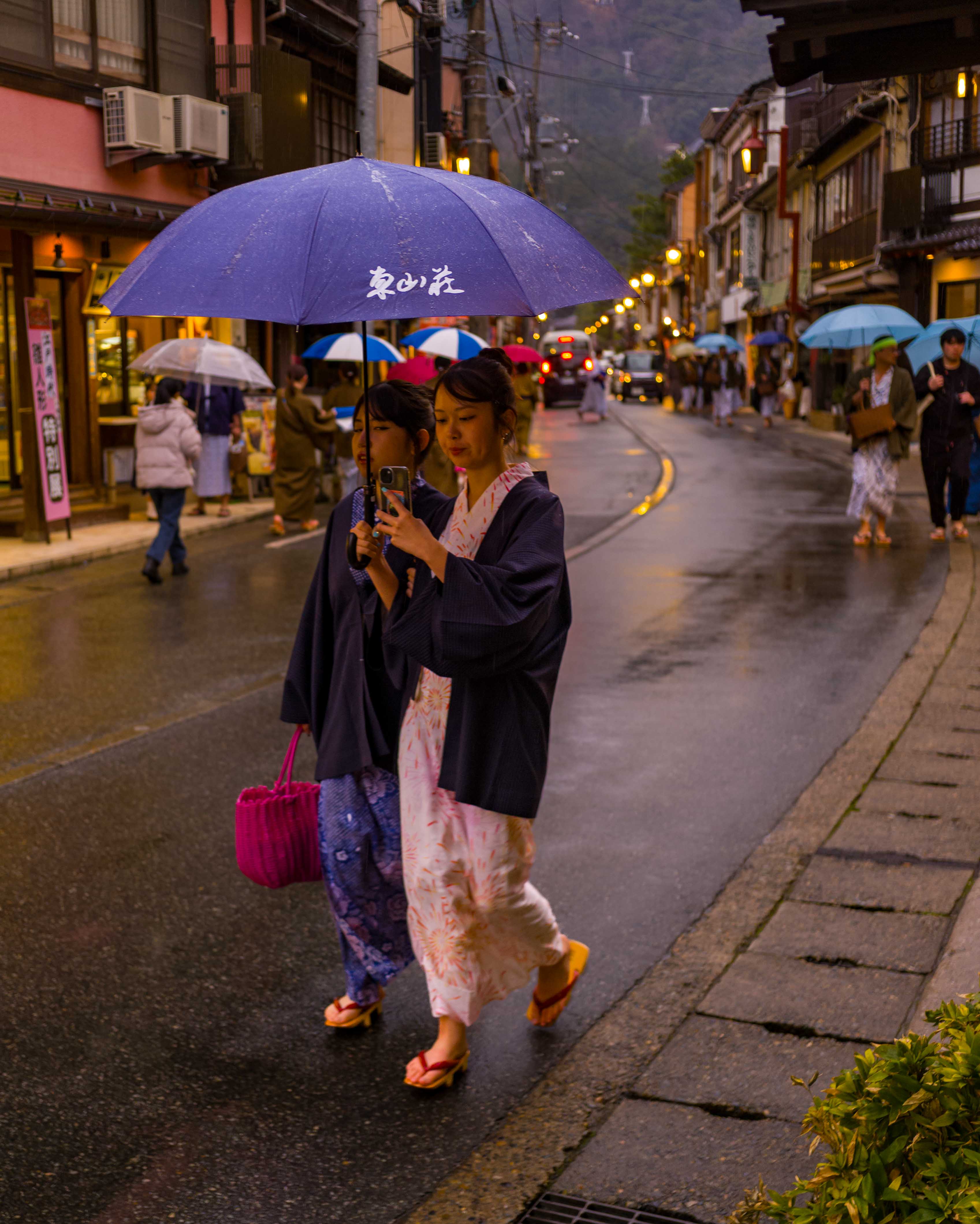
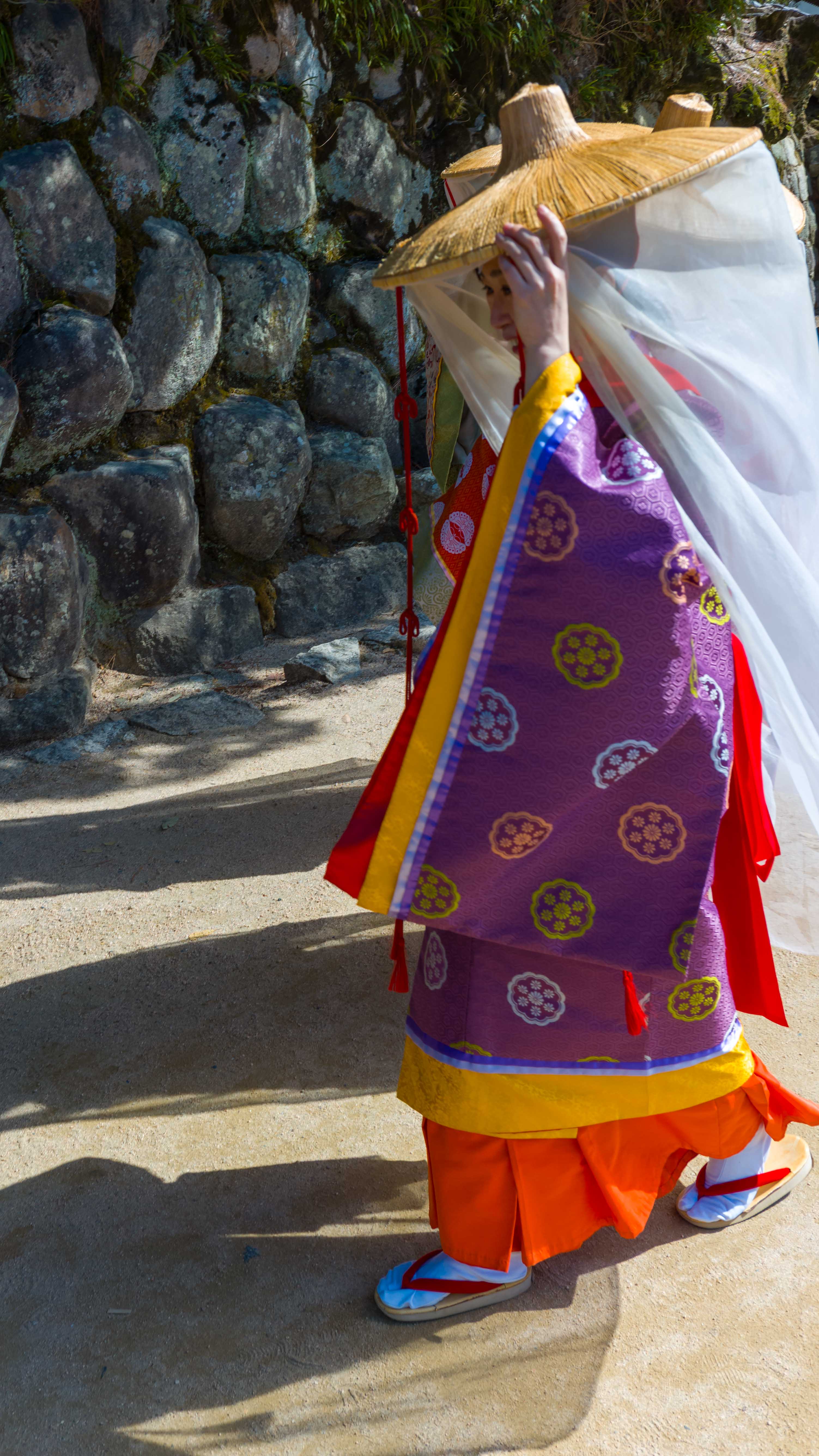
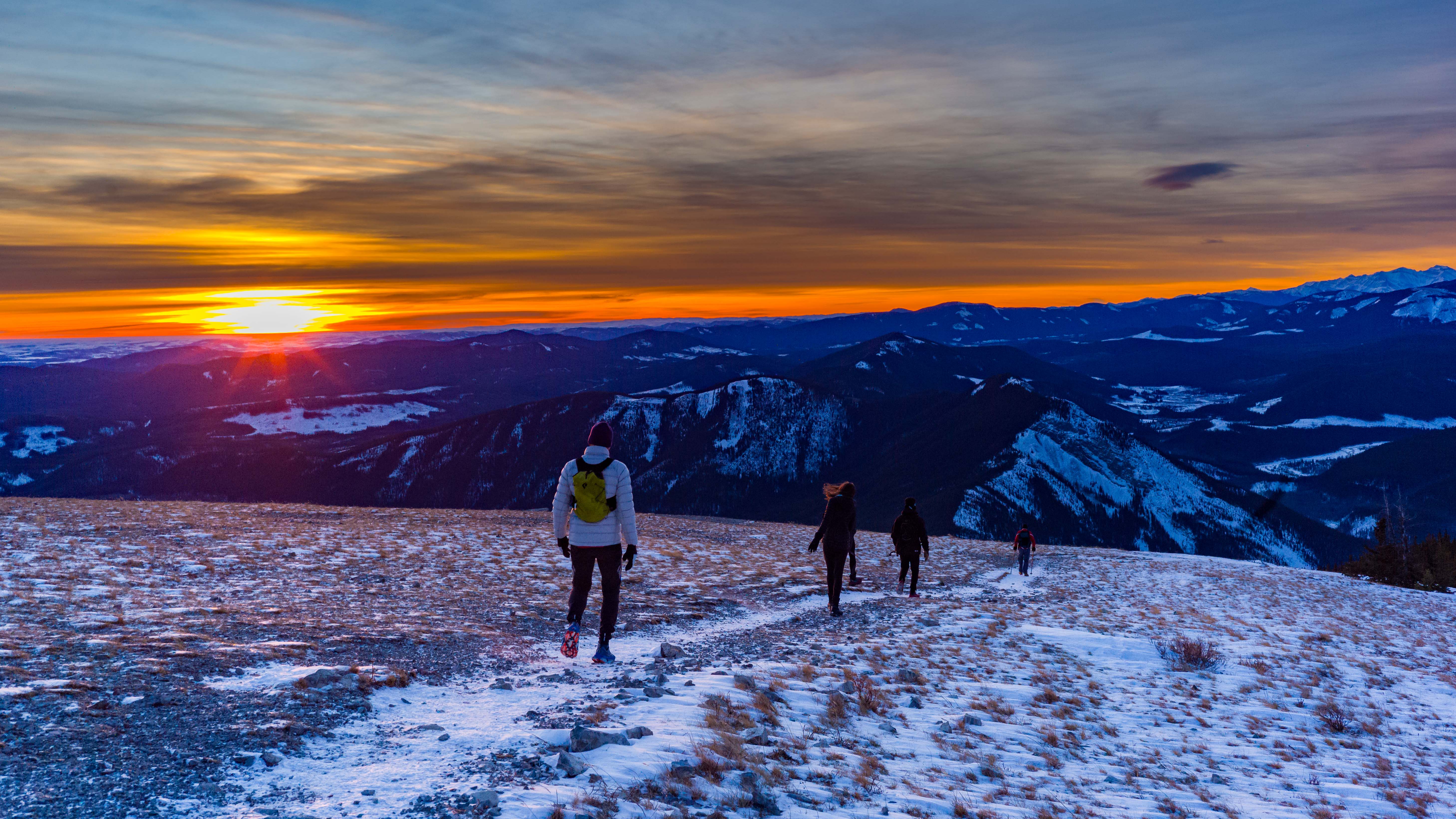
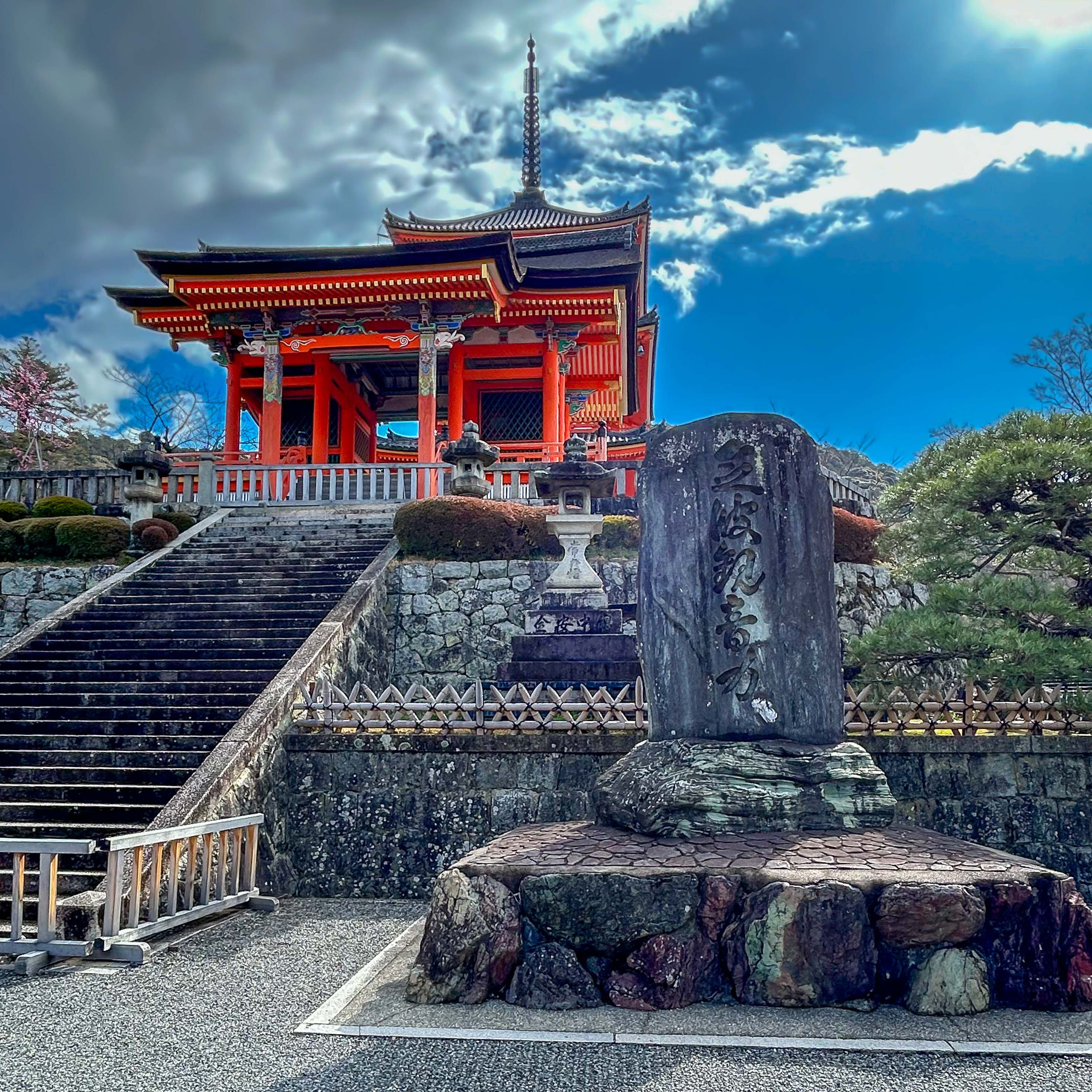
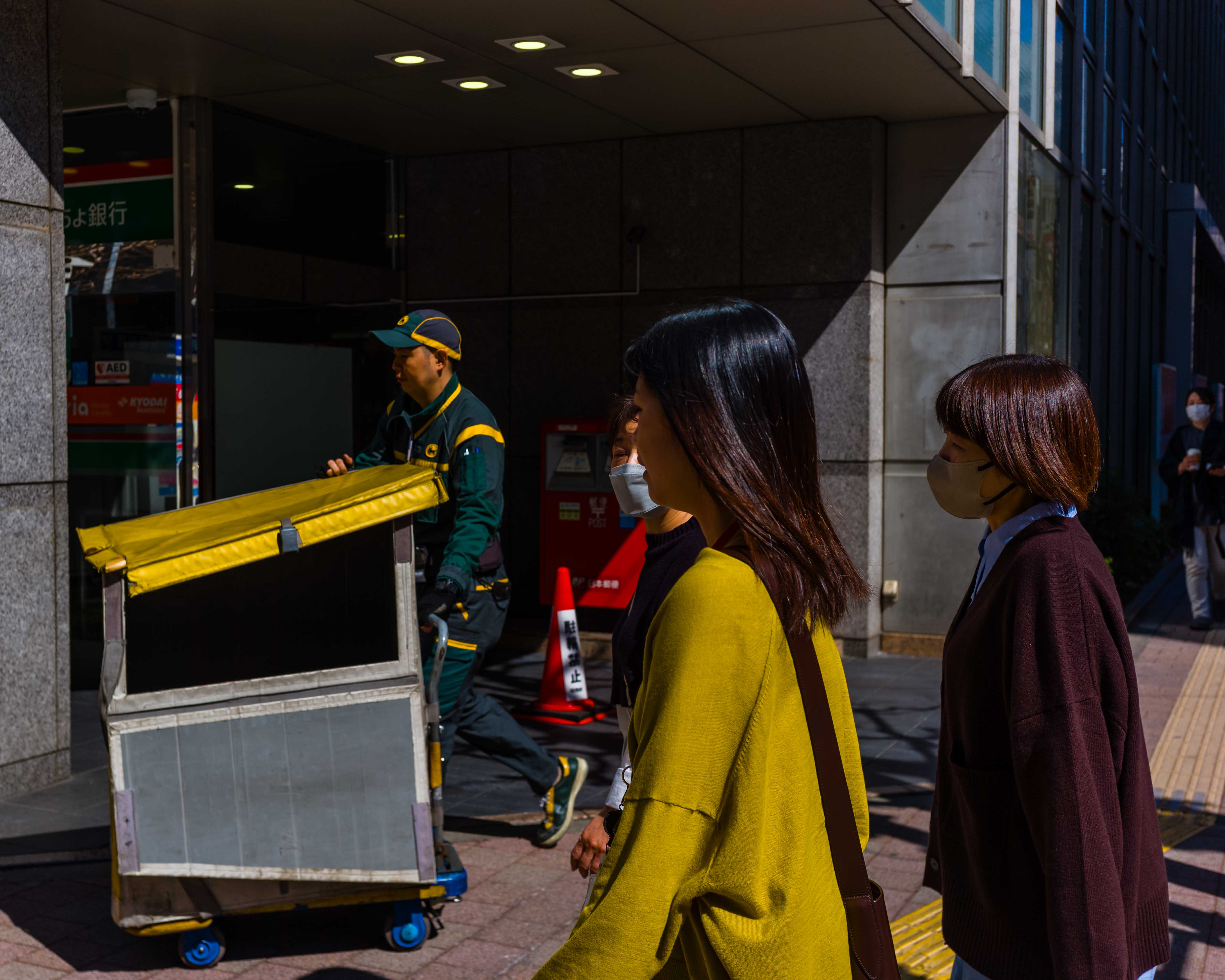
We could have spent our whole time in the hotel, but there was much exploring to do. As we had been doing for the whole trip, we followed Matthew’s advice. We ventured out into the Kiyomizu-dera area. When we visited the site of the eponymous temple, it was clear why it is such a popular attraction—a beautiful site, with great views of the city below.

Copyright for all photographs on the site is mine, unless noted.

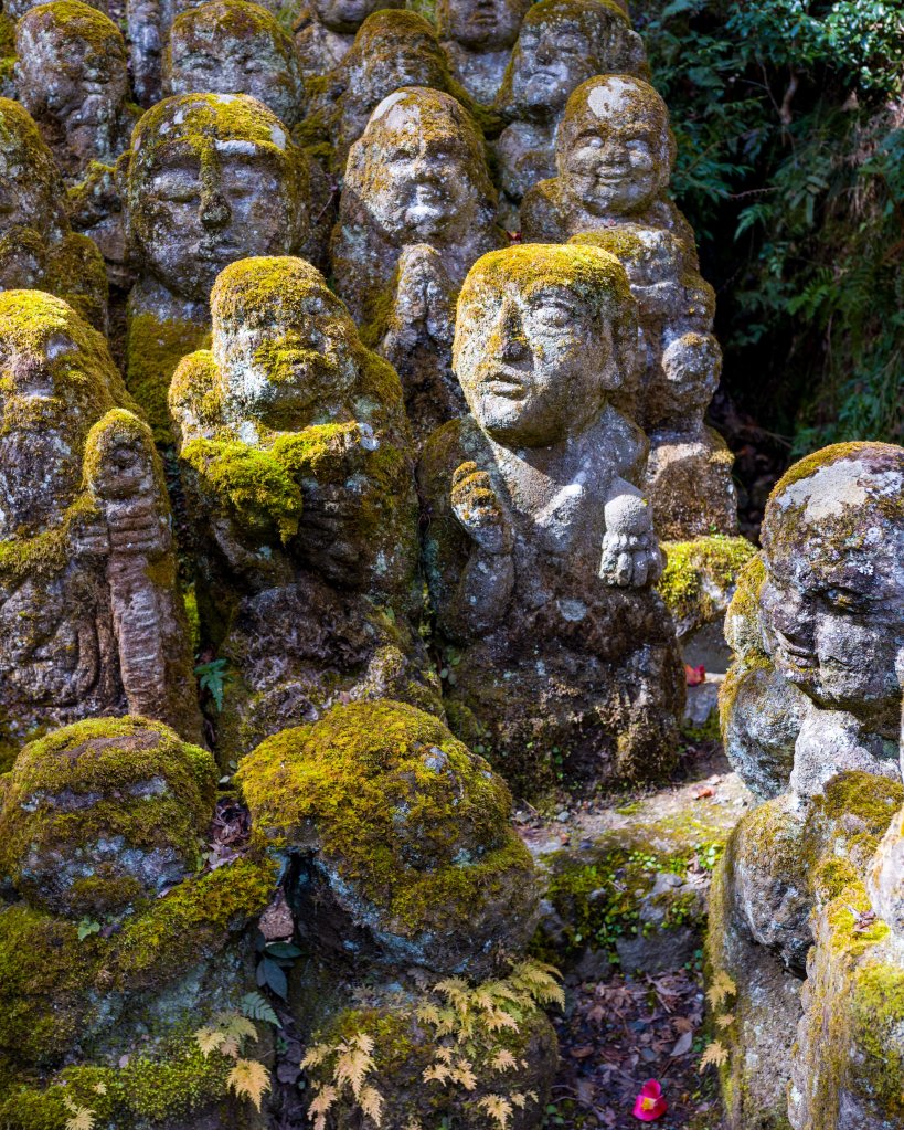
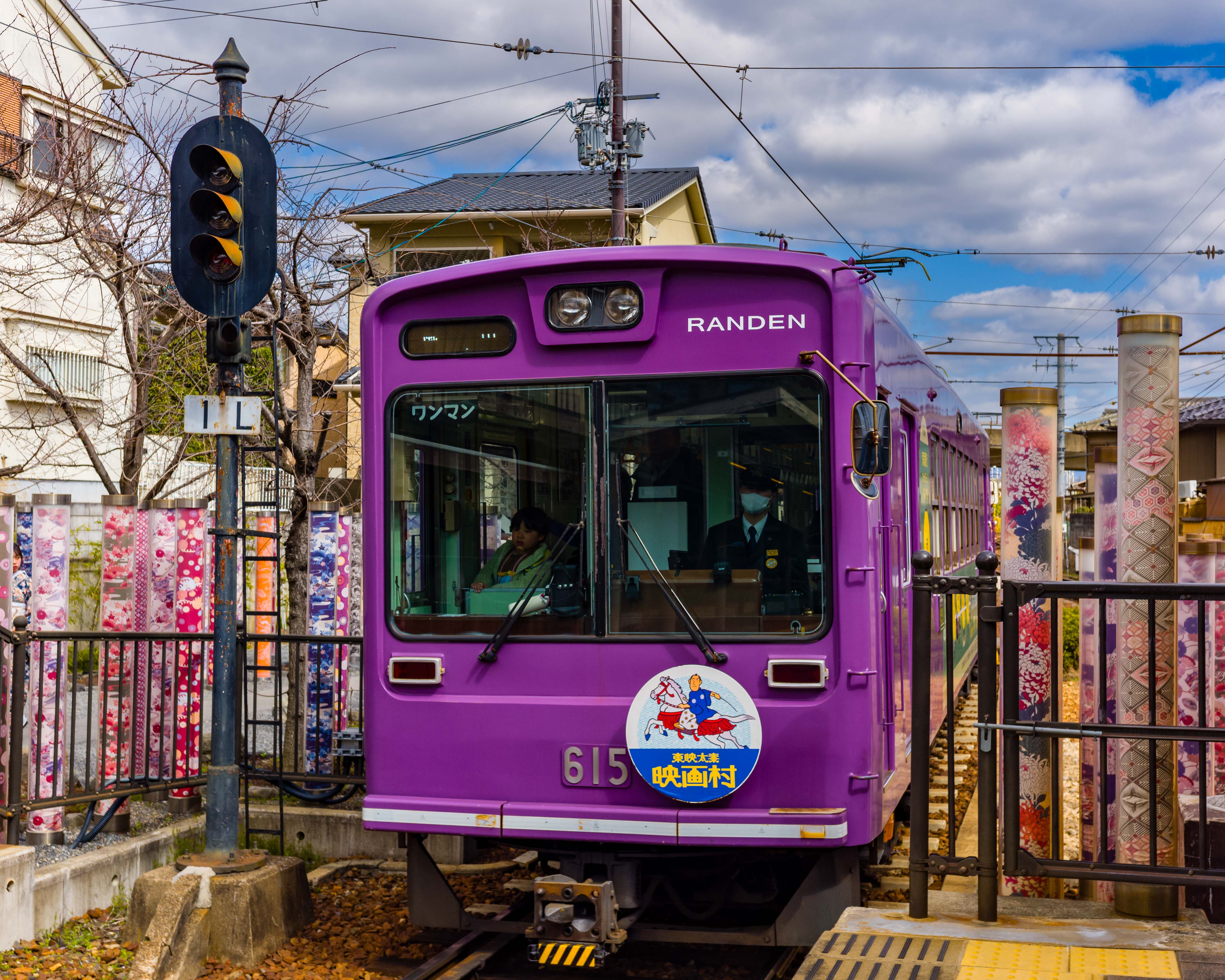
On our first full day, we rode the historic Randen (Keifuku) Arashiyama tram to the end of the line and got a cab to the Otagi Nenbutsuji Shrine. The shrine is (almost) off the tourist track. It holds a hidden treasure, in the form of carved Buddhist statues (rakan). These whimsical statues tell a remarkable story of resilience, for a temple that has moved several times over its long history. The sculptures look ancient, but they actually aren’t. Several decades ago, the head priest initiated a program to share his skill as a sculptor with the community. Given that there are 1,200 statues around the shrine, his efforts were very successful!

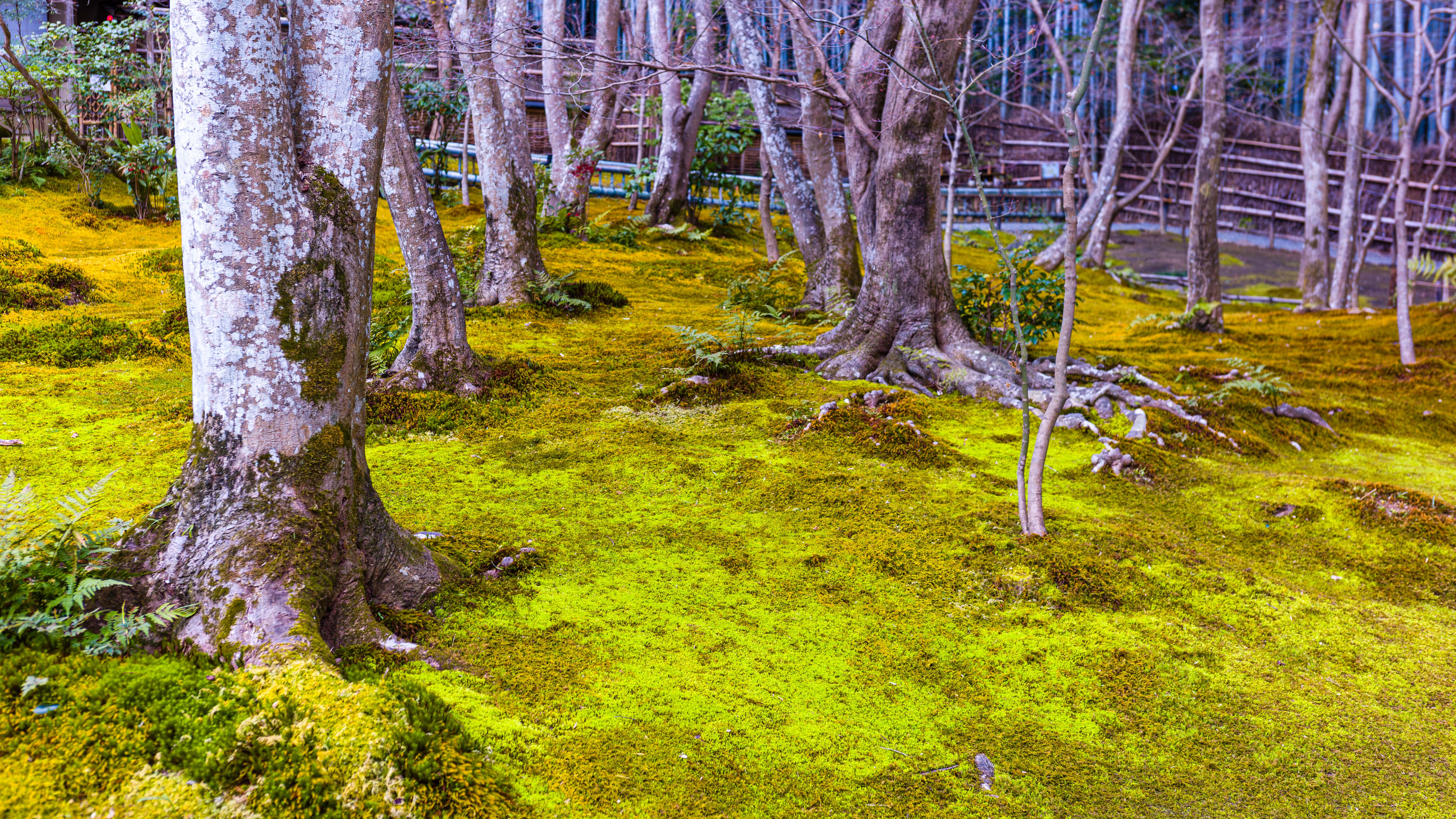
From the temple, it was a easy walk back into the city. On the way, we visited the intimate Gio-ji Shrine, site of one of the finest moss gardens in Japan. Then we walked through the famed Arashiyama bamboo grove, where we encountered the full impact of Kyoto’s popularity with tourists.

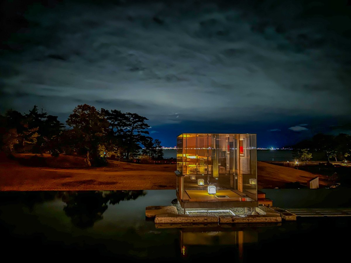
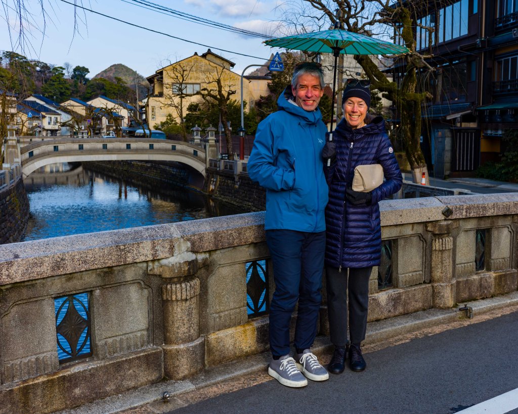
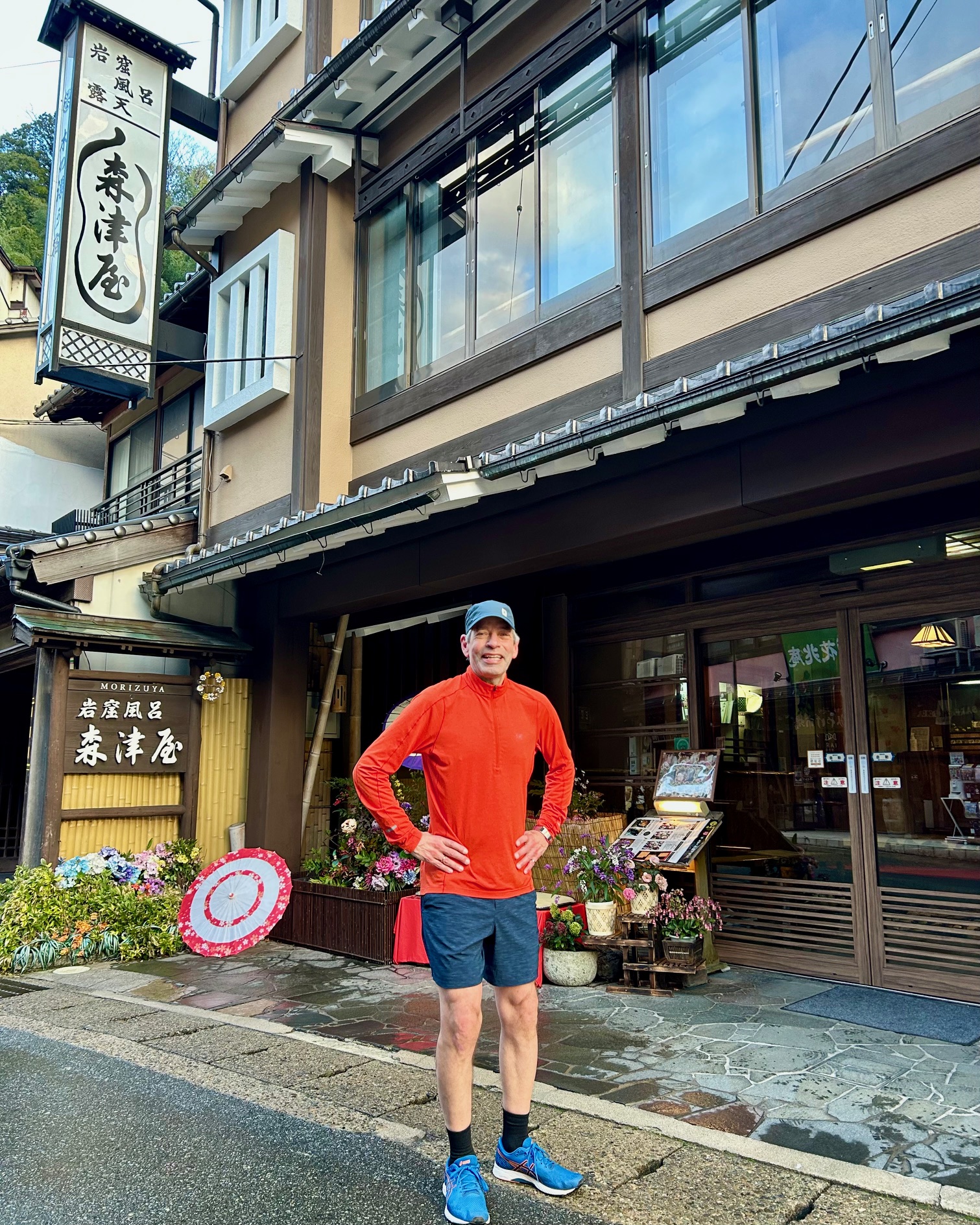
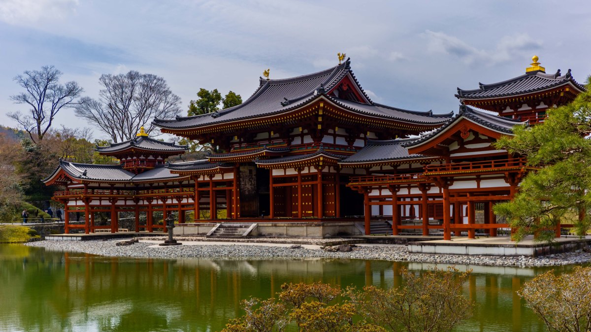
Next day, we made the short trip to Uji, south of Kyoto. We decided to skip Nara, and its resident deer population, in favour of a longer visit to the Byodoin Temple. We found Phoenix Hall (the featured photo, above) and its adjacent museum fascinating, and the streets of Uji—renowned for matcha tea—well worth a bit of sightseeing.

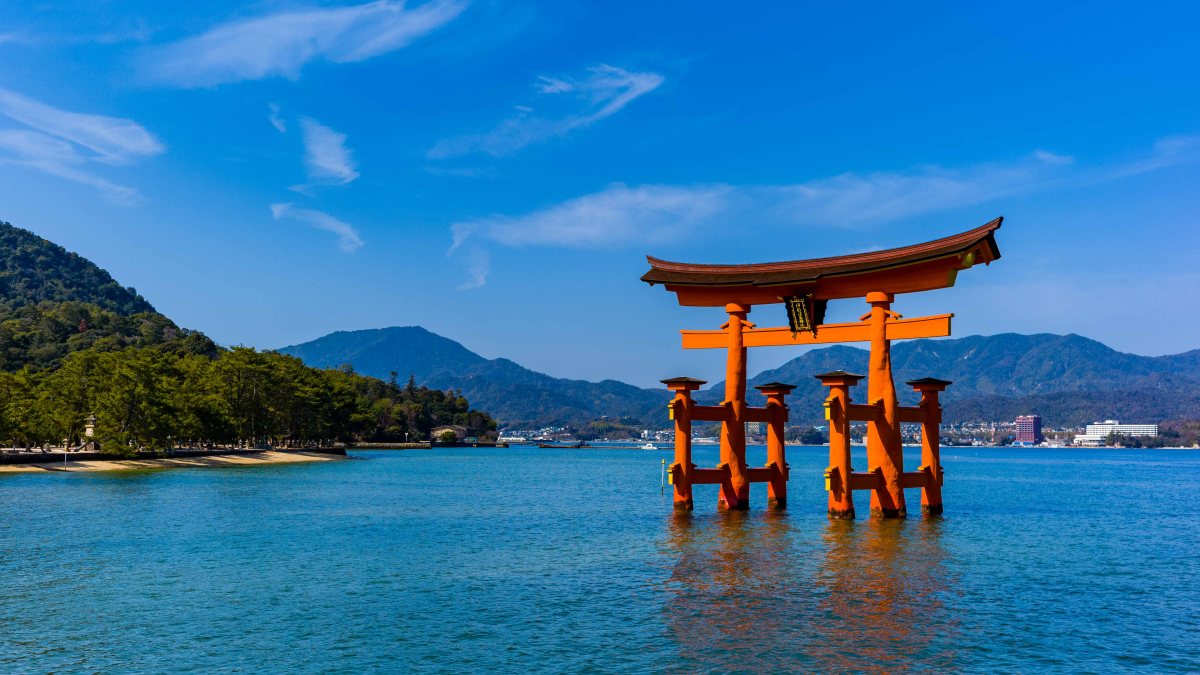
On our return to Kyoto, the train conveniently stopped at Inari, steps from Fushimi Inari Taisha, one of Japan’s most popular sites. There, a long procession of torii gates guides visitors all the way to the top of Mount Inari. We didn’t make it that far, but we were suitably impressed by the spectacle of 10,000 vermillion gates. What dedication!

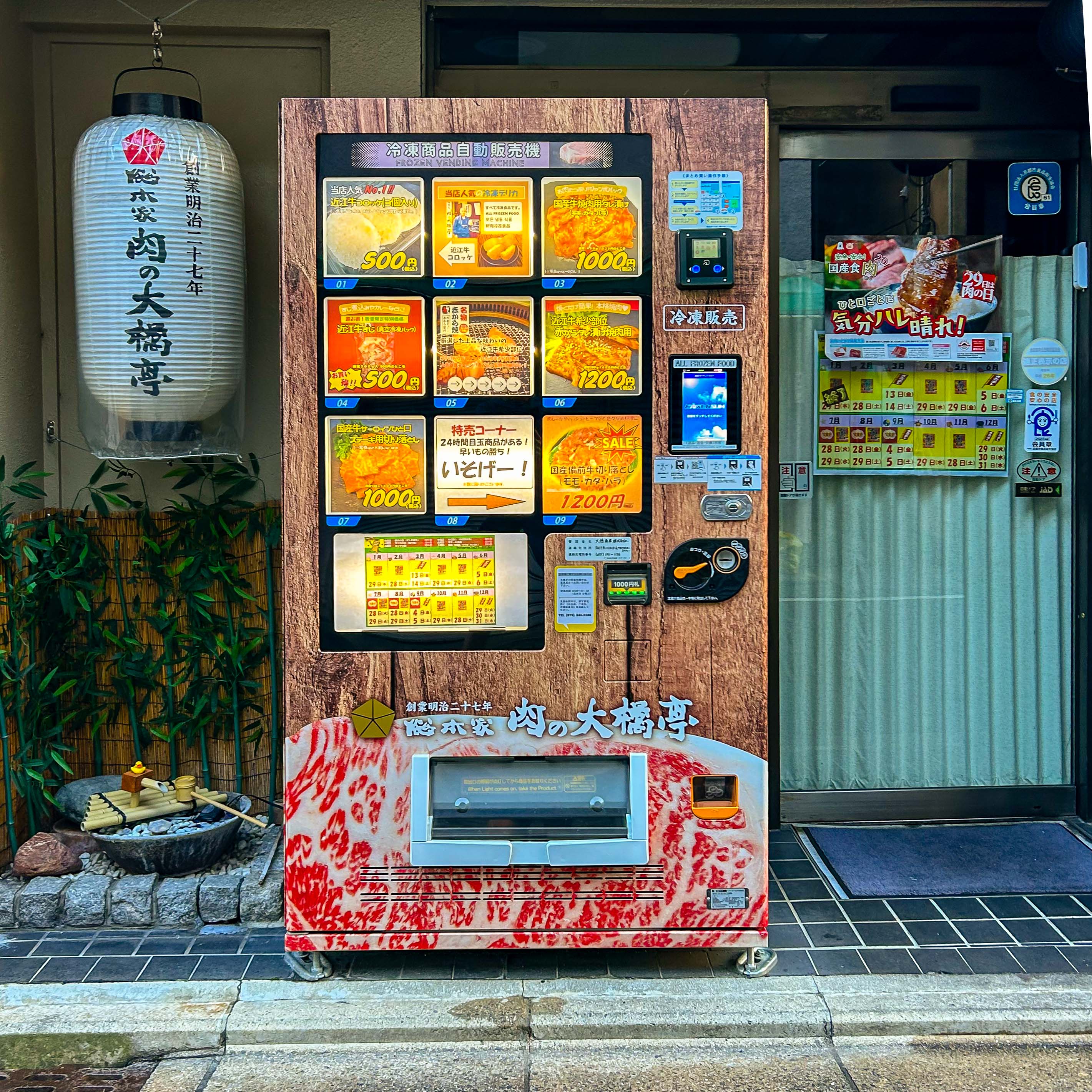
Here is a small album of photos from our time in Kyoto:

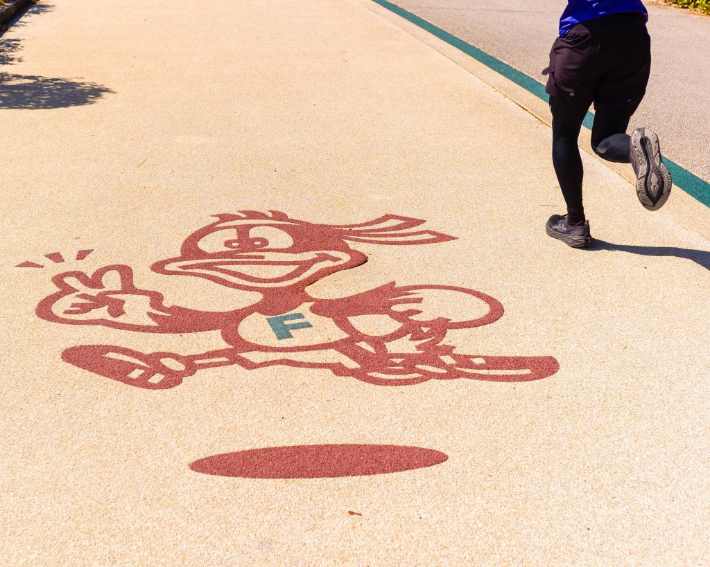
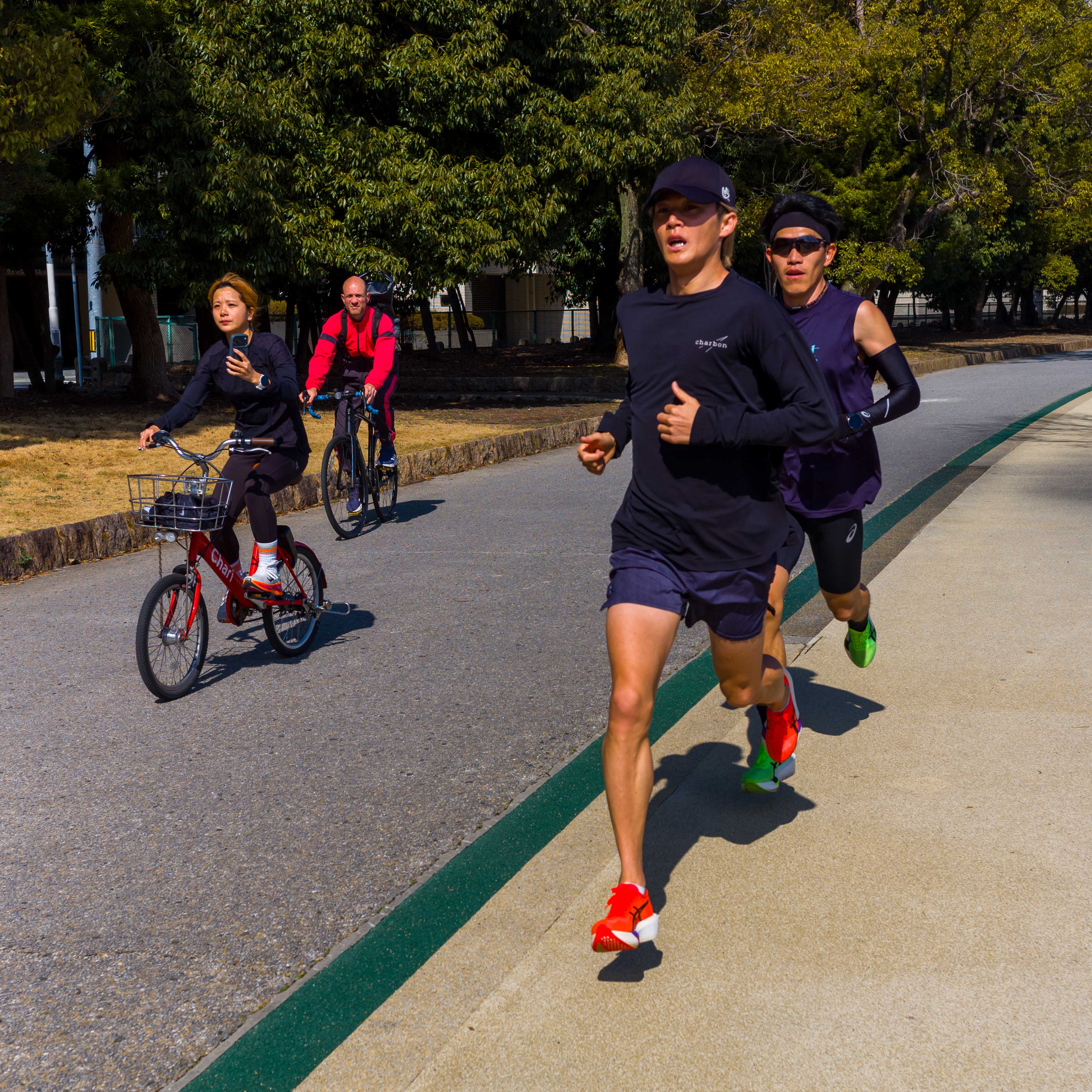
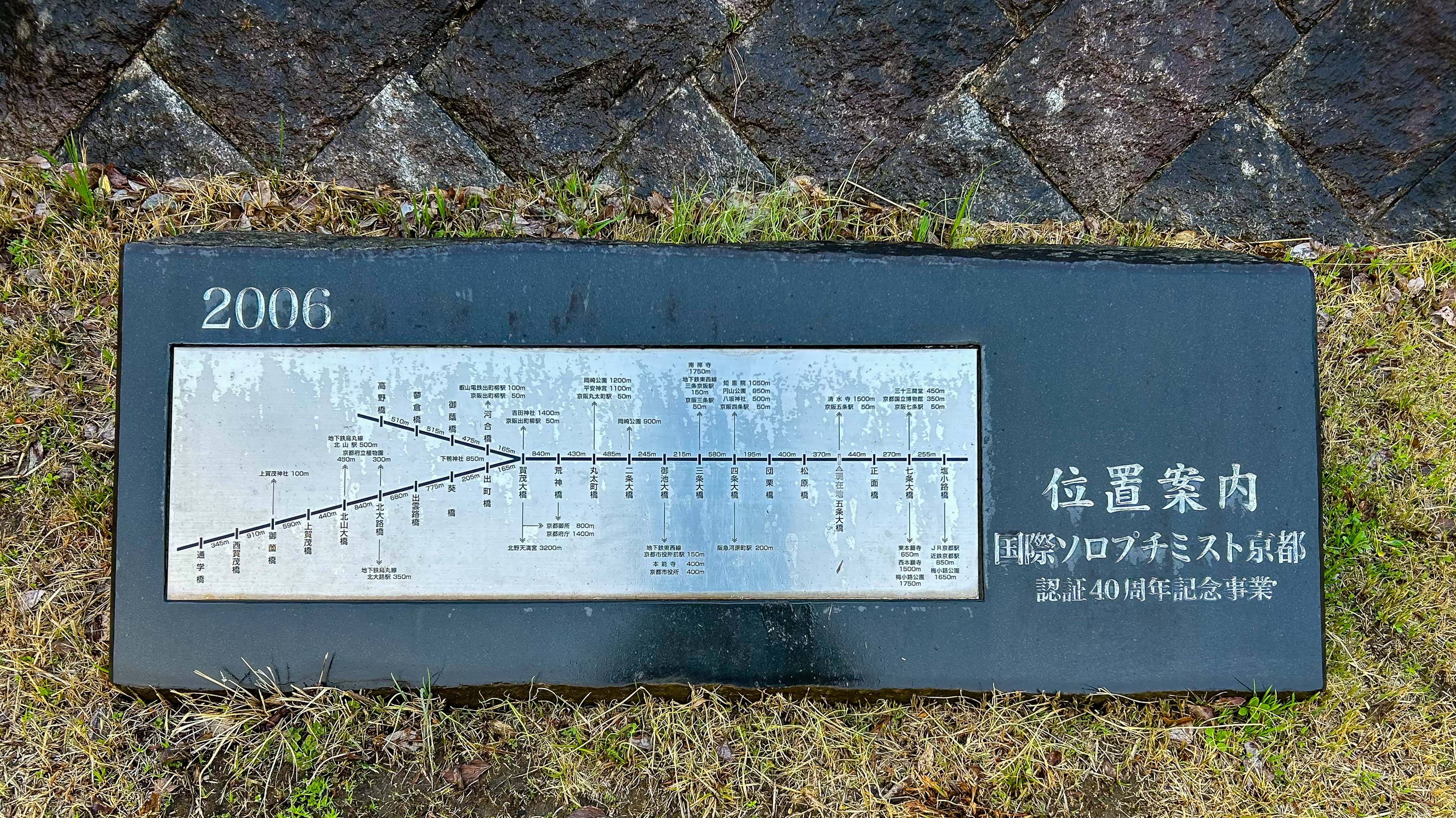
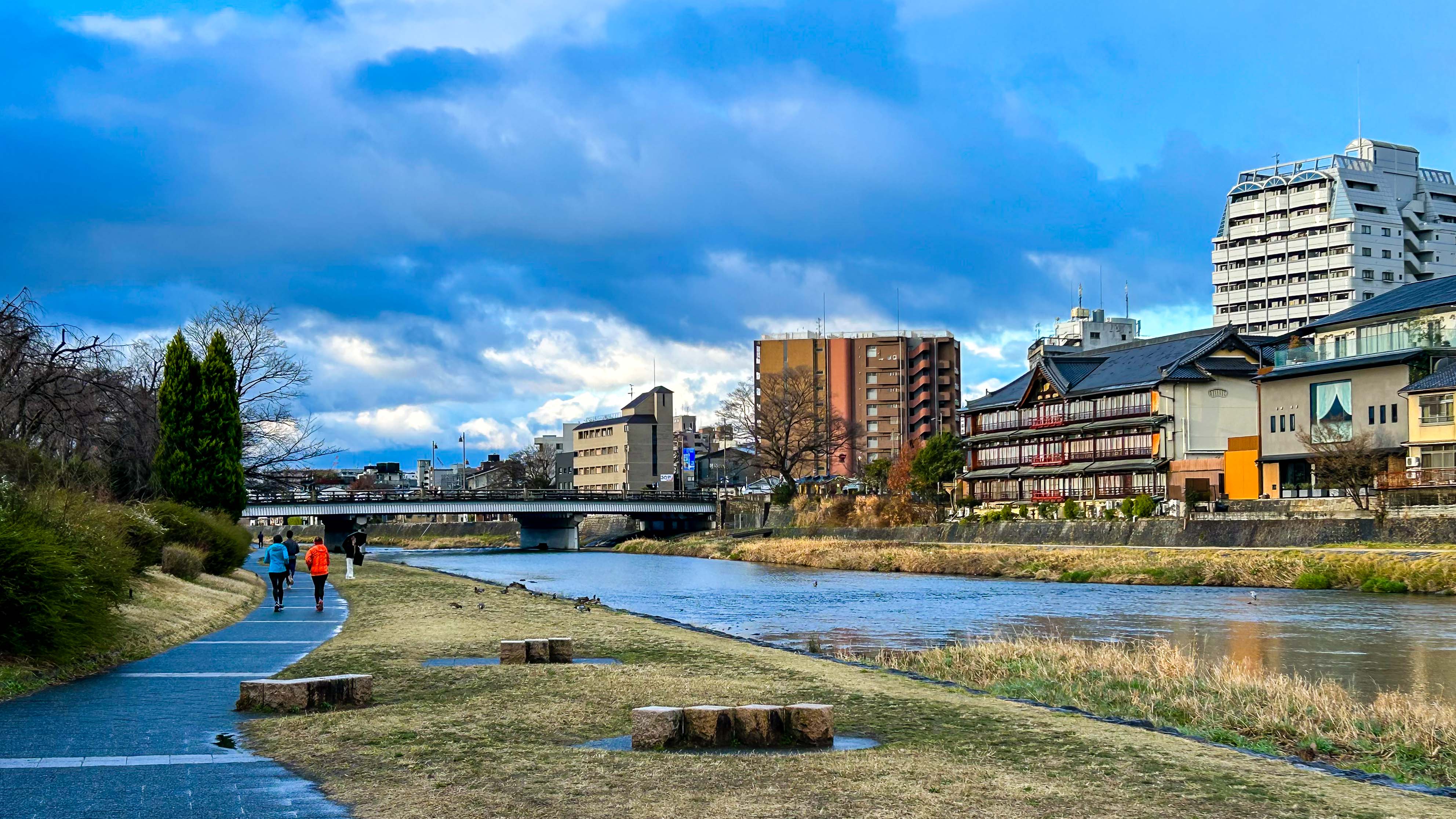
On our last morning, I snuck out early for a run along the Kamo River (Kamo-gawa). The light rain didn’t dampen my enthusiasm. The pathway was quiet—I saw only a few other runners and cyclists. My easy out-and-back jog was just what I needed. It reminded me of the Bow River pathway in Calgary, half a world away. Aside from the views, I really liked the pathway signs, with their absolutely precise distance measurements. It was a nice final memory of a wonderful city.

And finally, it’s dynamic Tokyo!

For the final time, we boarded a Shinkansen, this time bound for Tokyo Station. If you do like numbers, Tokyo’s are impressive. The Greater Tokyo area is the largest metropolitan region in the world, with a population of 37 to 41 million people. To put that in perspective, it’s the population of Canada—in one city!

Four days may not be enough.

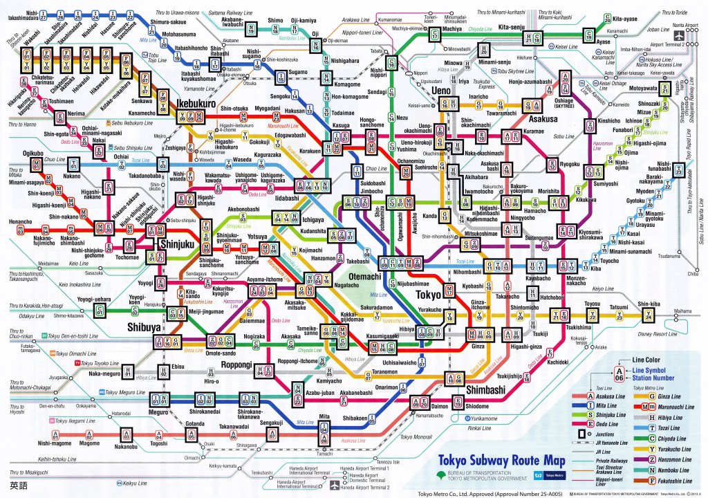
I’ve left myself a big task—to summarize our visit to the capital city of Japan in just a few paragraphs. I can start with an admission that might help—I’m a subway junkie. Anytime we visit a city that has one, I like to study the “Beck Map”, a highly schematic map based on an iconic design created by Henry Beck in 1933 for the London Underground. Even in this simplified format, the Tokyo Metro system is mind-boggling…

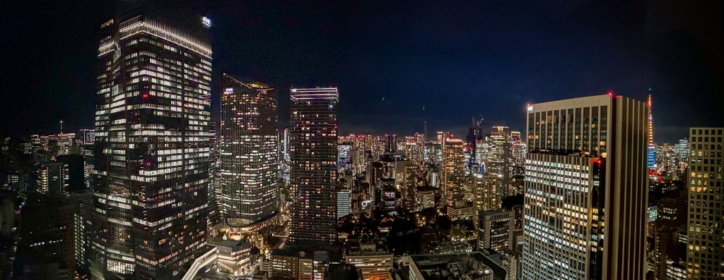
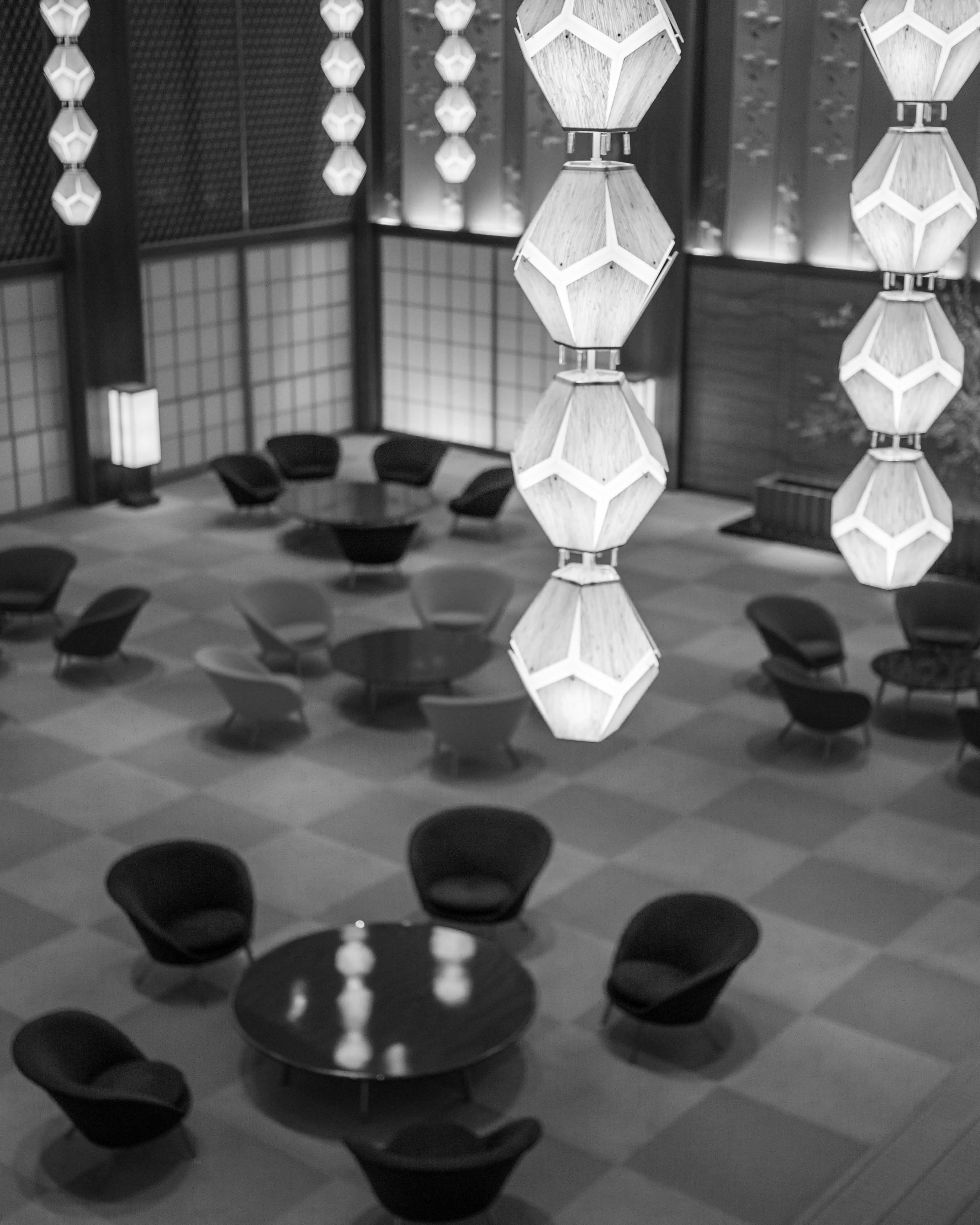
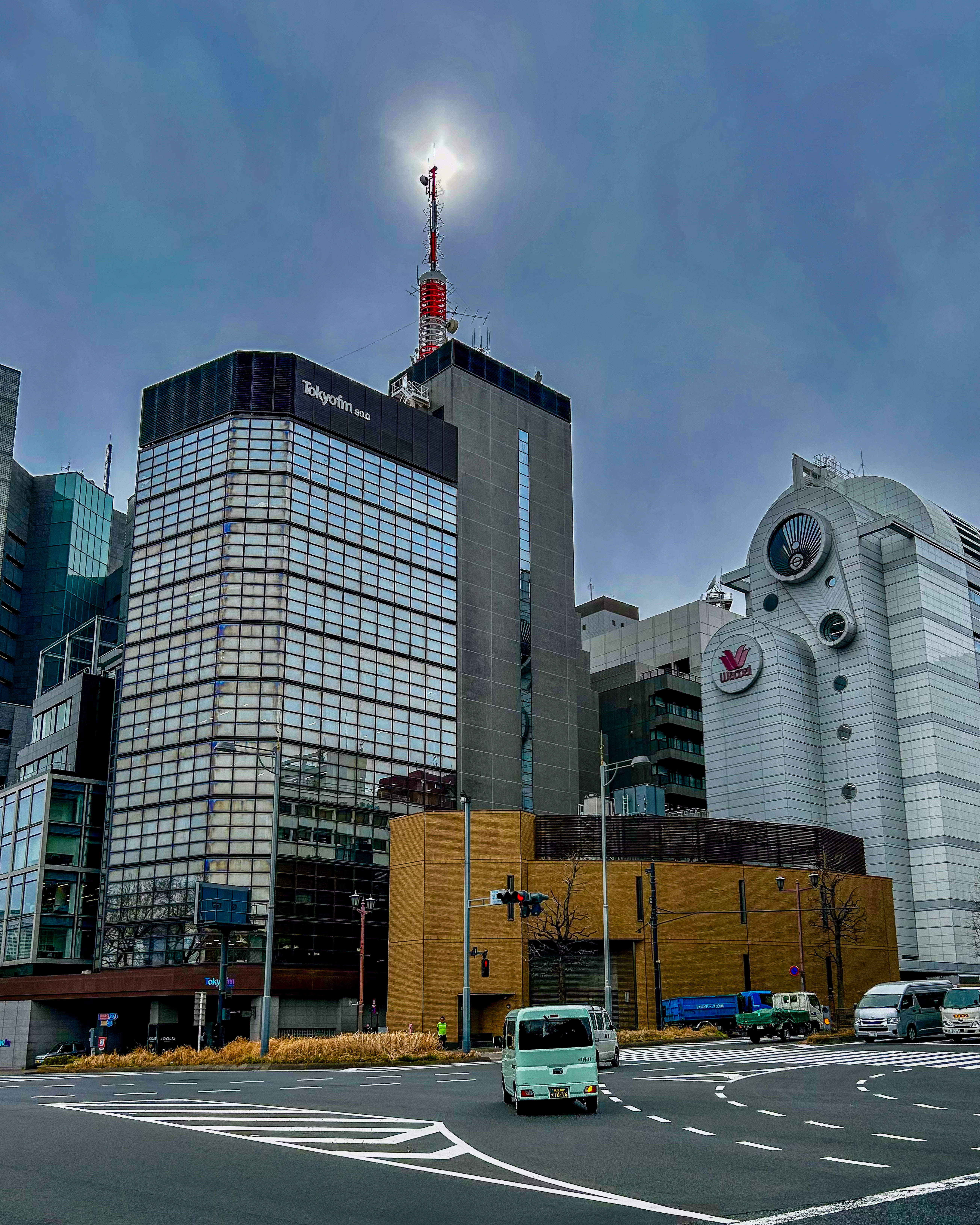
Our hotel in Tokyo was another treasure. After much deliberation, Deborah chose The Okura Tokyo in the Toranomon area. It was a great choice, as the Okura combines mid-century tradition with modern sophistication. We immediately felt at home—a personal welcome from the hotel manager does have that effect! The view to the east from our 34th floor window wasn’t bad either. It spanned the distant Tokyo Skytree to the (much closer) Tokyo Tower.

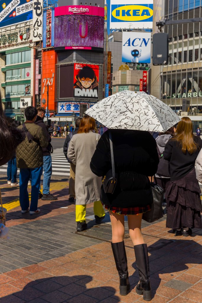
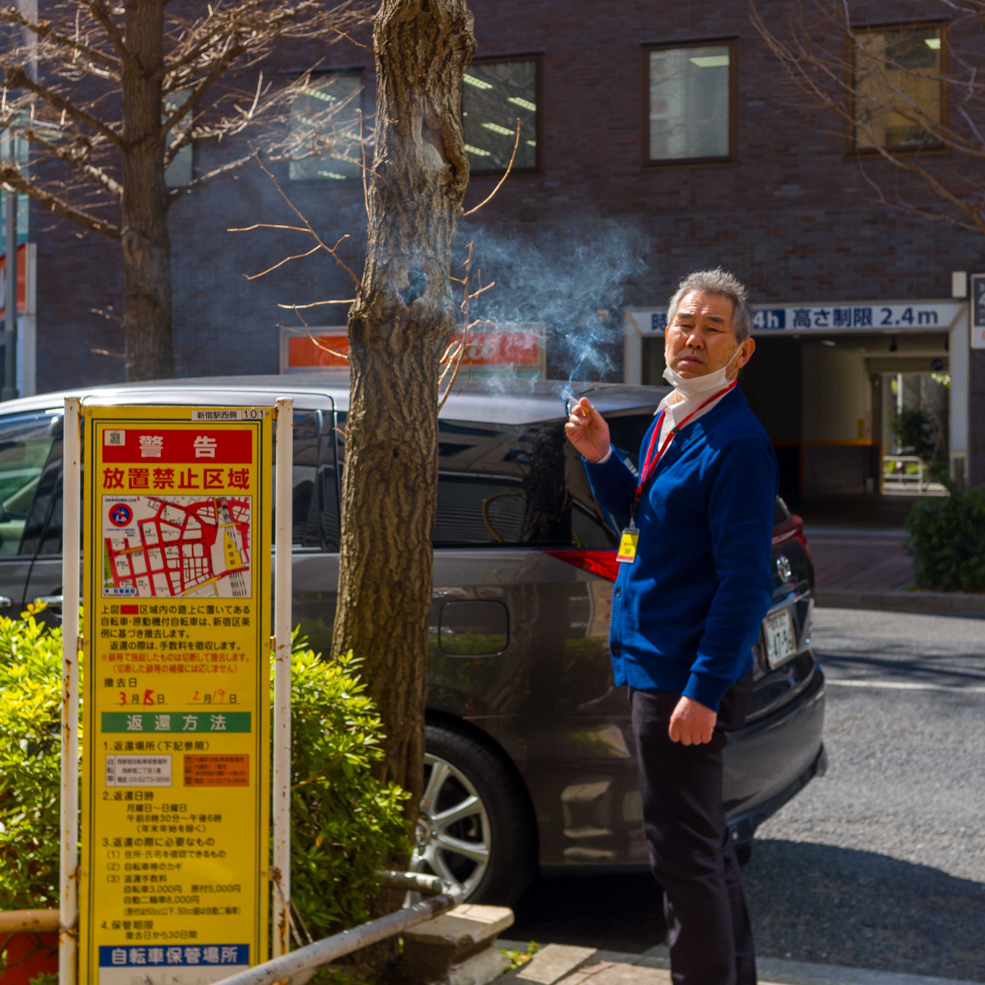
Orienting ourselves, we figured out there were three subway stations near the hotel, giving us flexibility to get anywhere we wanted to go. We ventured out, with our trusty IC cards in hand. Well aware it was a touristy area, we headed for Shibuya—an easy ride on the Ginza Line, Station G07 to G01—and its chaotic Scramble crossing. We saw it, we crossed it, we snapped a couple of pictures. It was interesting, but we soon moved on, feeling this was a so-so introduction to Tokyo.

We headed north to get away from the crowds, and found pleasant Yoyogi Park, where we saw a few early cherry blossoms. Then we walked through the grounds of Meiji Jingu, an important Shinto shrine. The serene forest setting is actually manmade—100,000 trees were planted in 1920 to commemorate Emperor Meiji and Empress Shoken.

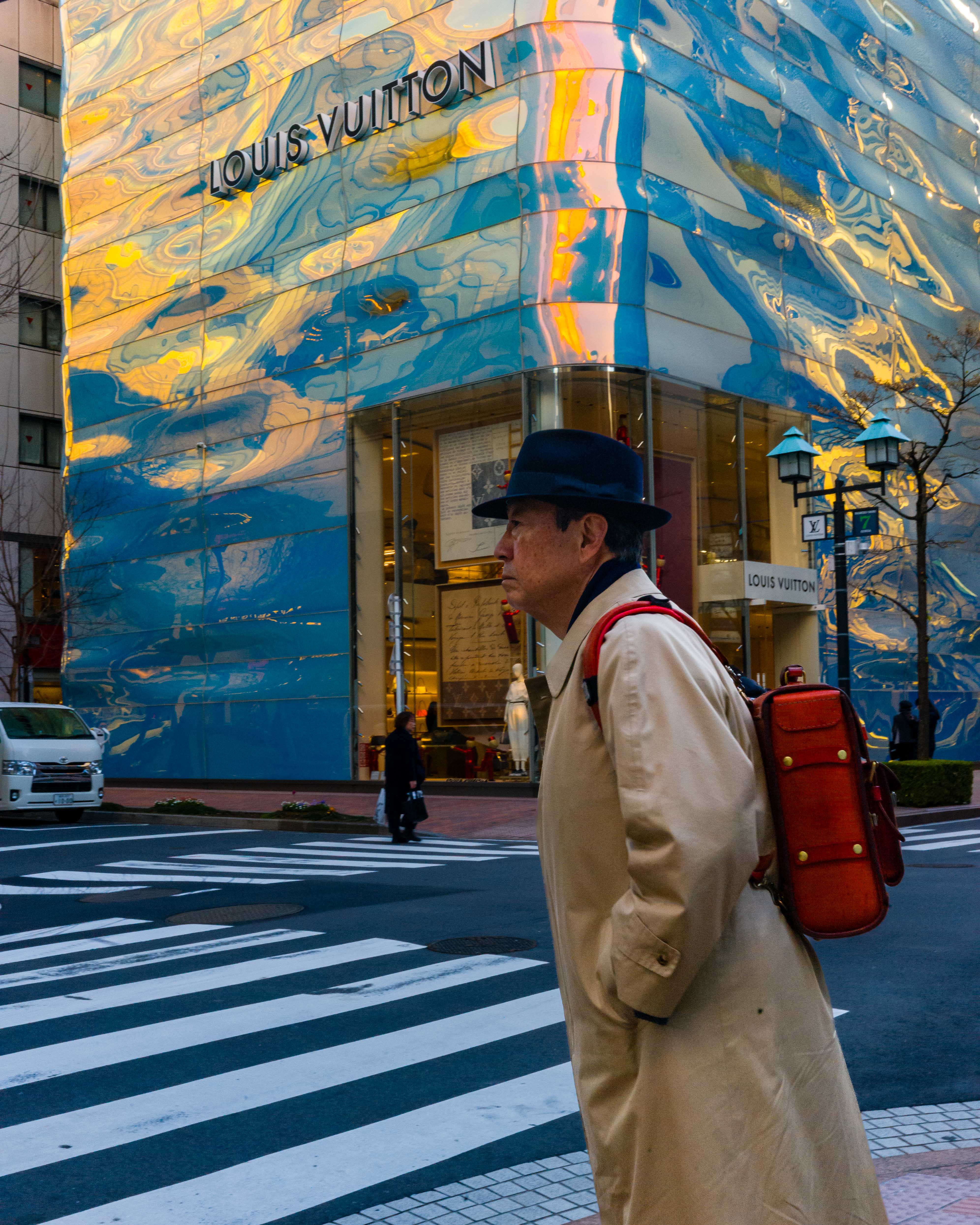
We did some shopping, including a visit to a couple of Tokyo’s famous camera shops in Shinjuku (for me) and a walk through Minato-ku and the high-end shops of Ginza (for Deborah). Closer to our hotel, we found Shiba Park at the base of the Tokyo Tower. That connected us to the Roppongi Hills area and the Azabudai Hills development, a chic cultural and dining hub. Each time out, we expanded our knowledge of the Metro system, with only a couple of missteps along the way…

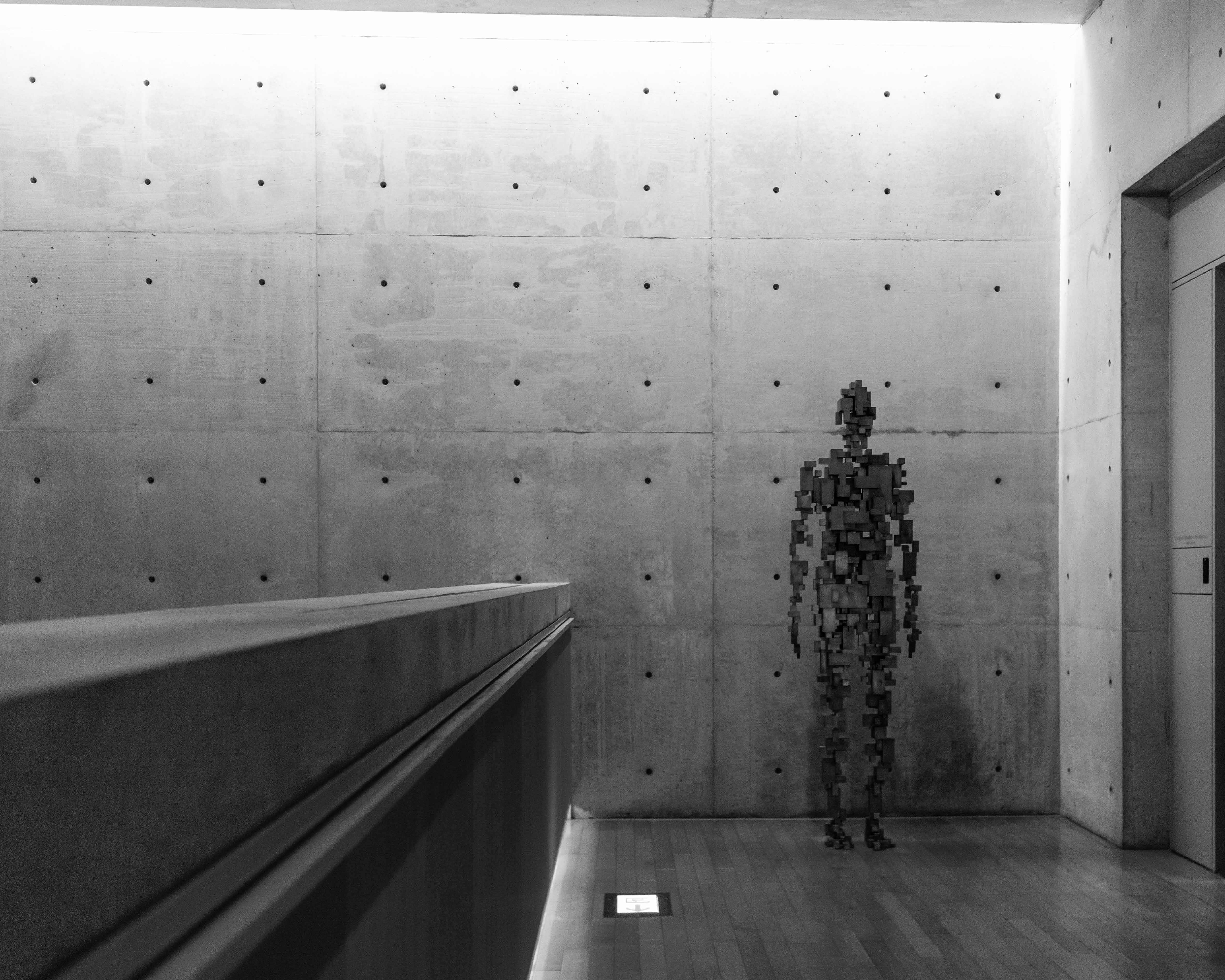
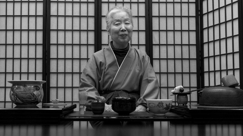
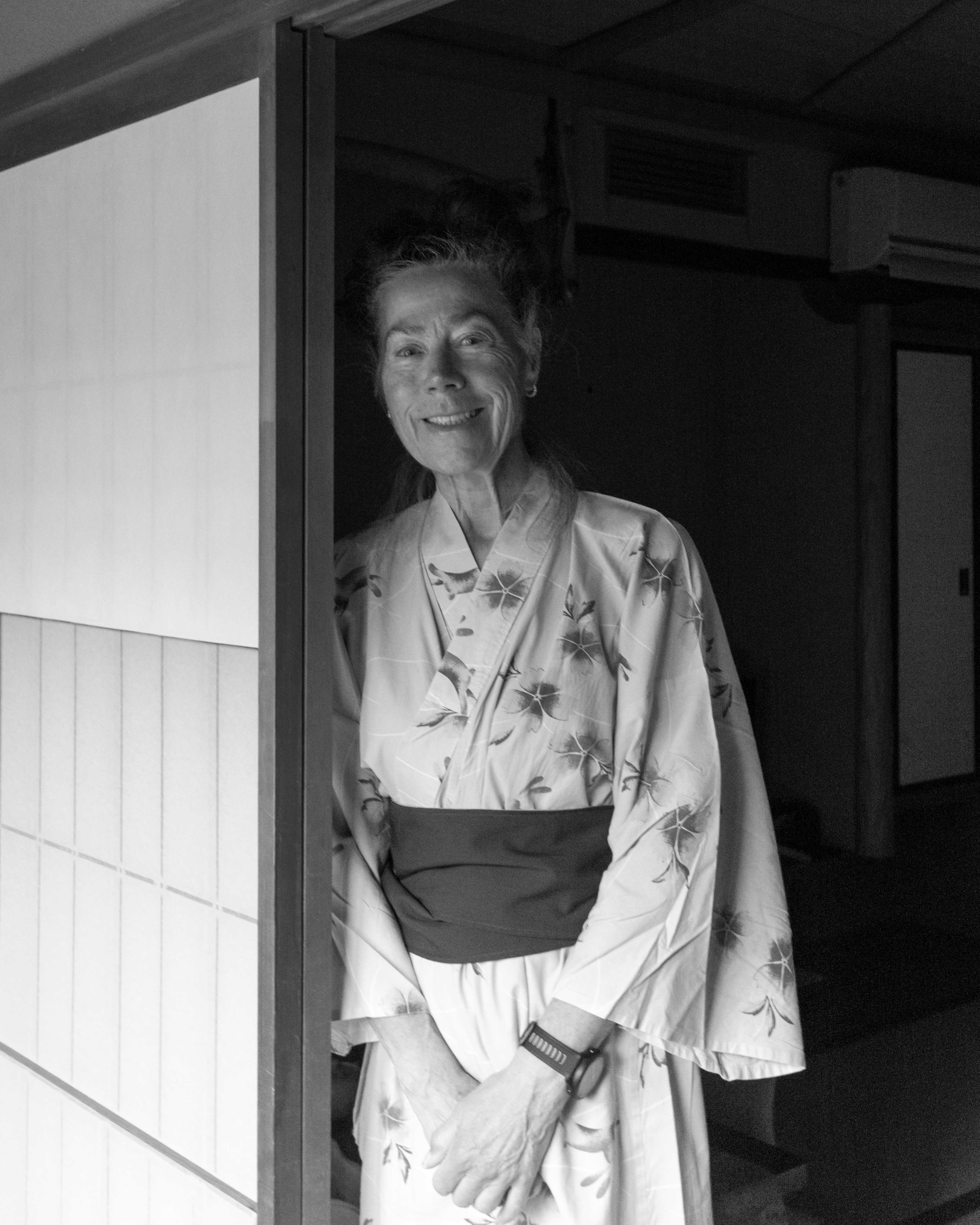
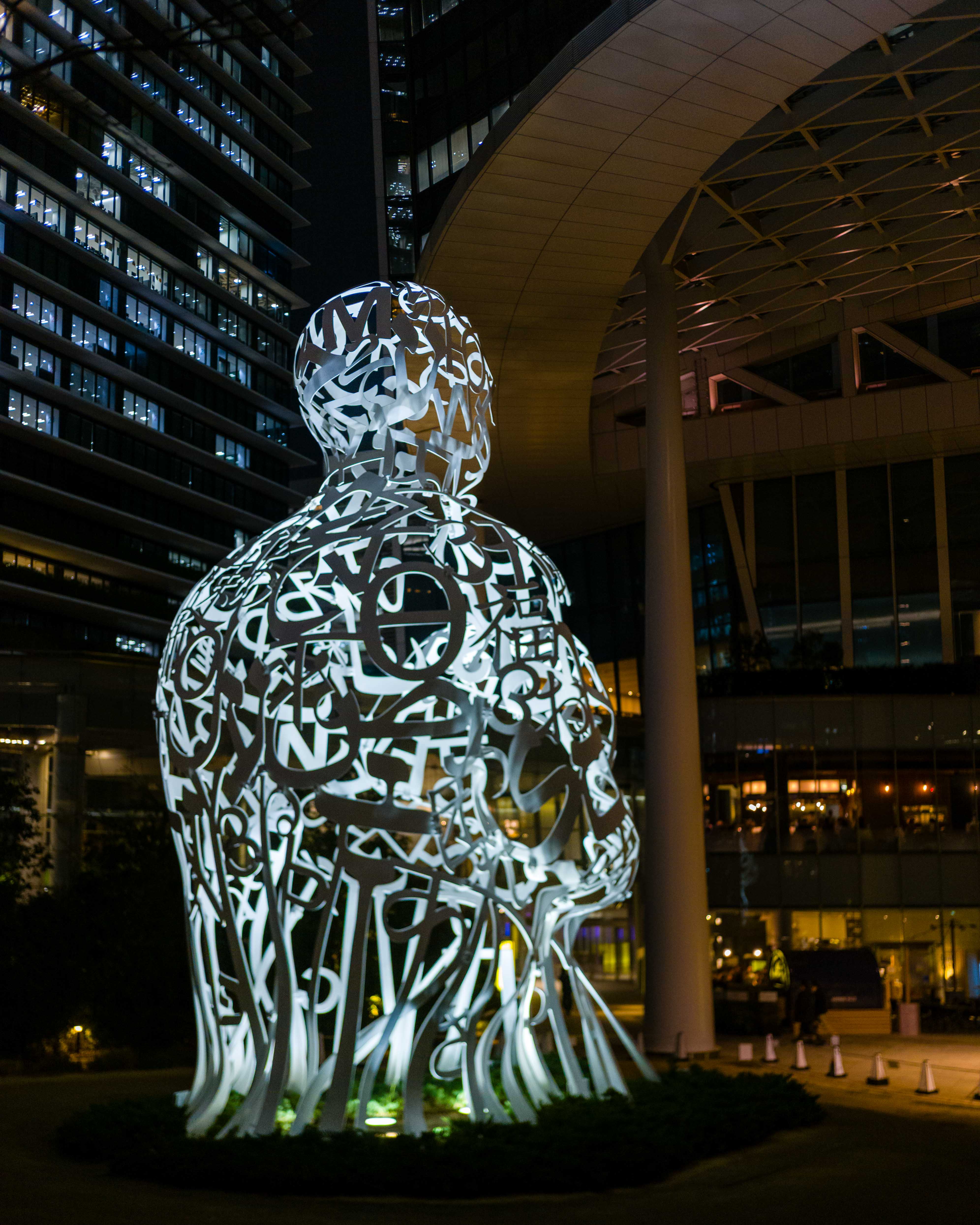
There was history and art in and around the hotel. The original lobby was designed by Yoshiro Taniguchi for the 1962 opening. Then, in 2014, when a rebuilding project was undertaken, it was Yoshiro’s son Yoshio who preserved the look and feel of the original lobby. The Okura Museum of Art—the oldest existing private museum in Japan—was across the plaza. Having seen a tea ceremony in Kinosaki, which seemed a long time ago but was only a week, we enjoyed the exhibit of ancient tea utensils. And we checked out a Jaume Plensa sculpture that we could see from our hotel window—it was similar to one in Montreal that I wrote about here.

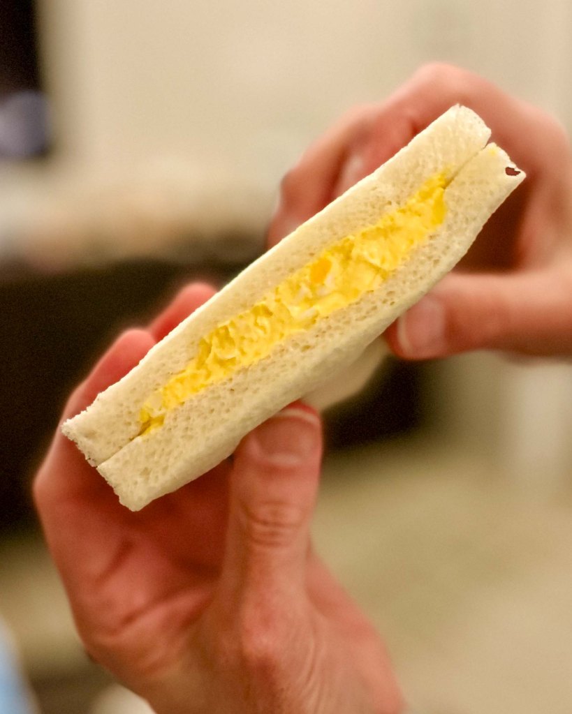
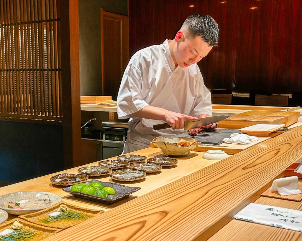
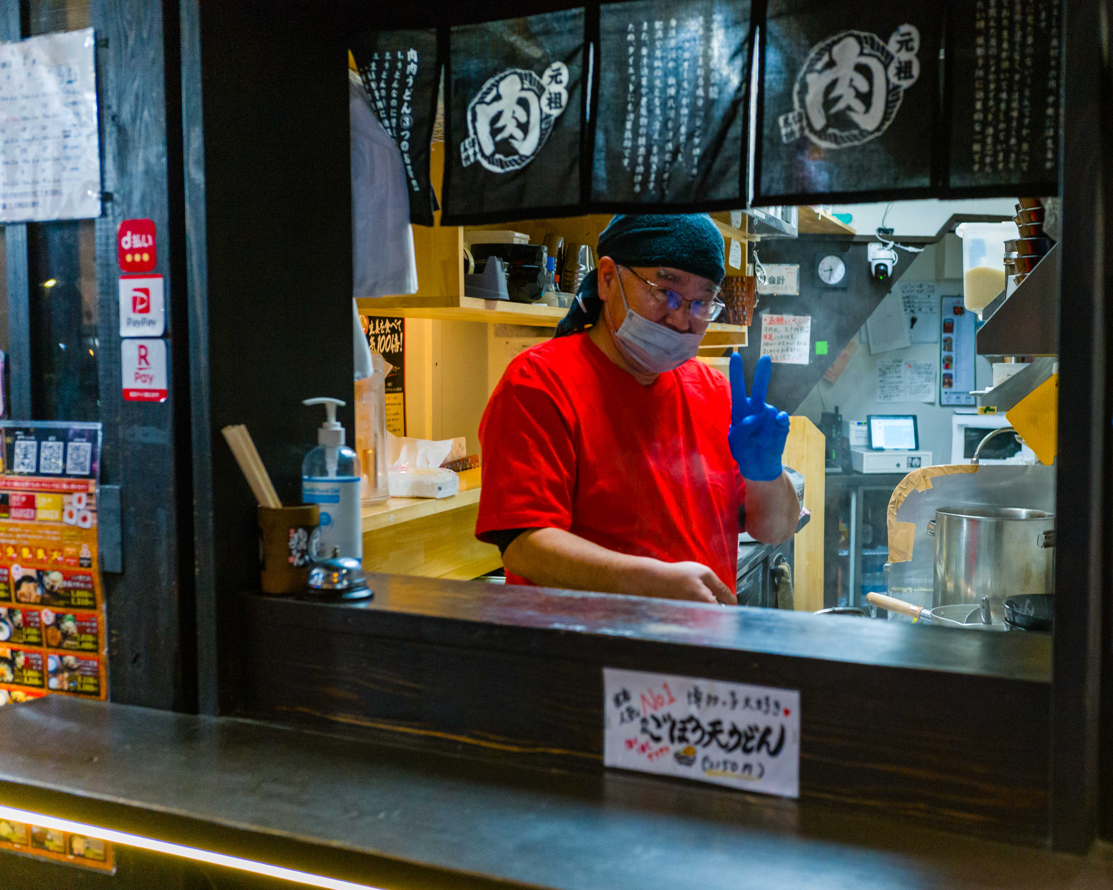
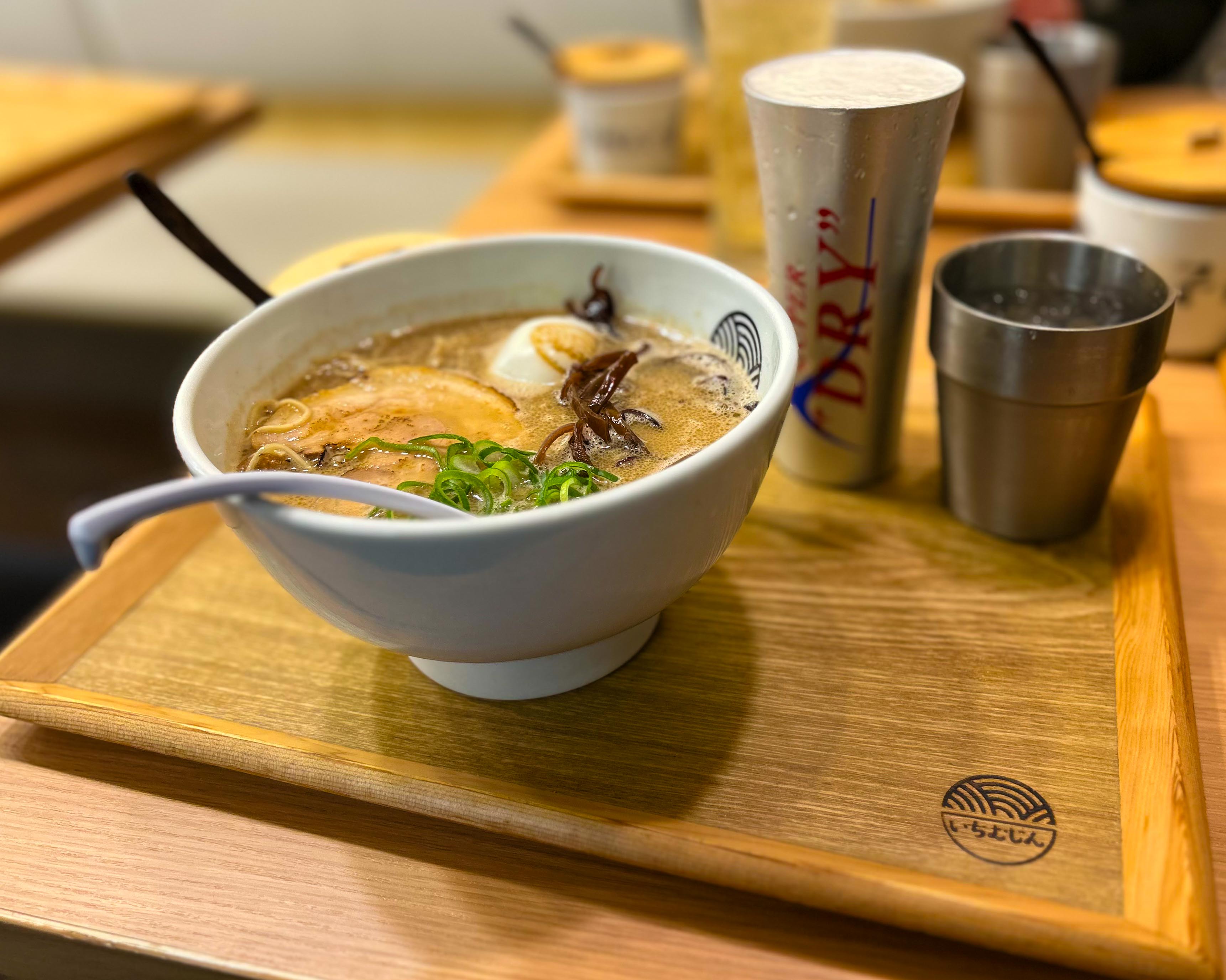
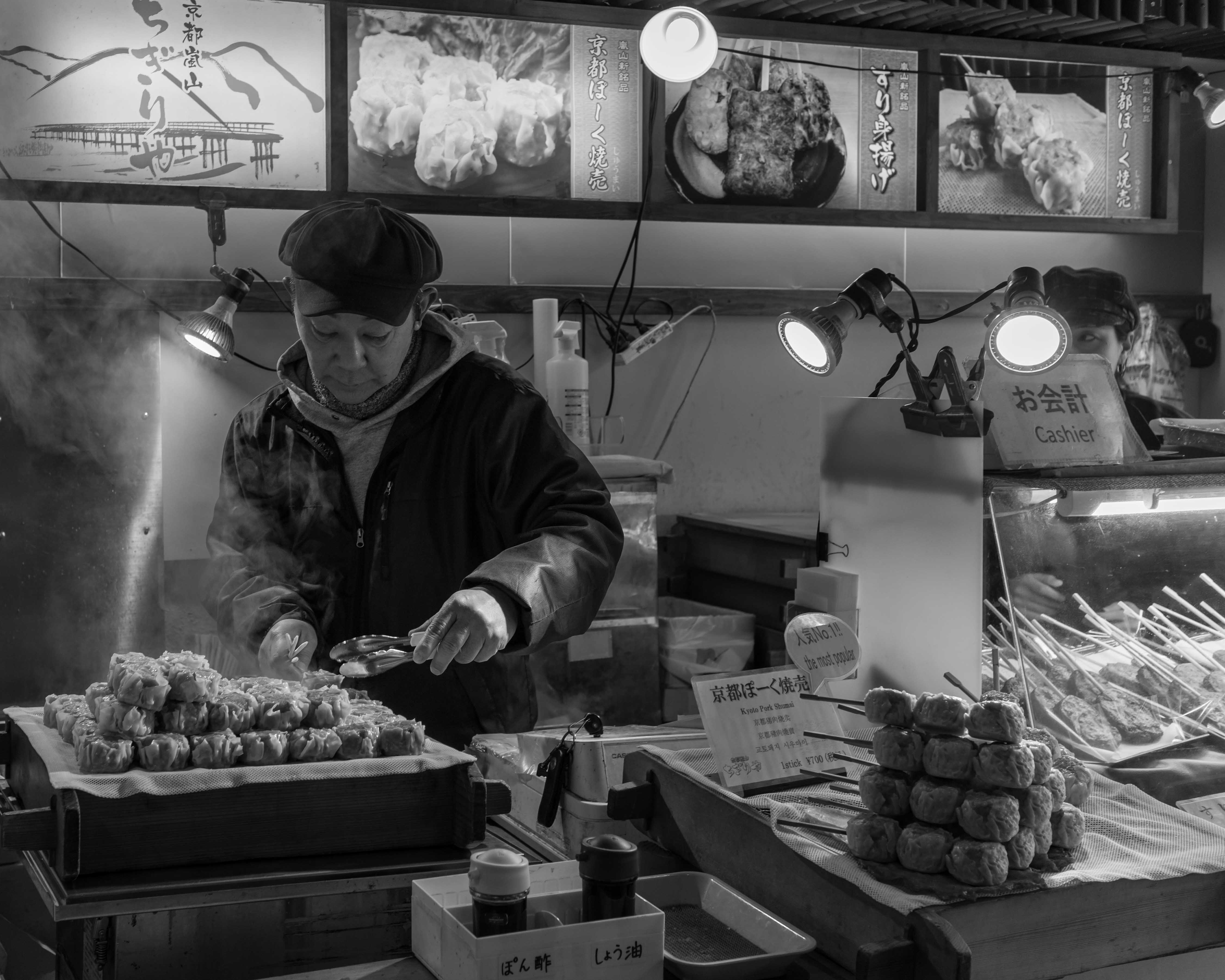
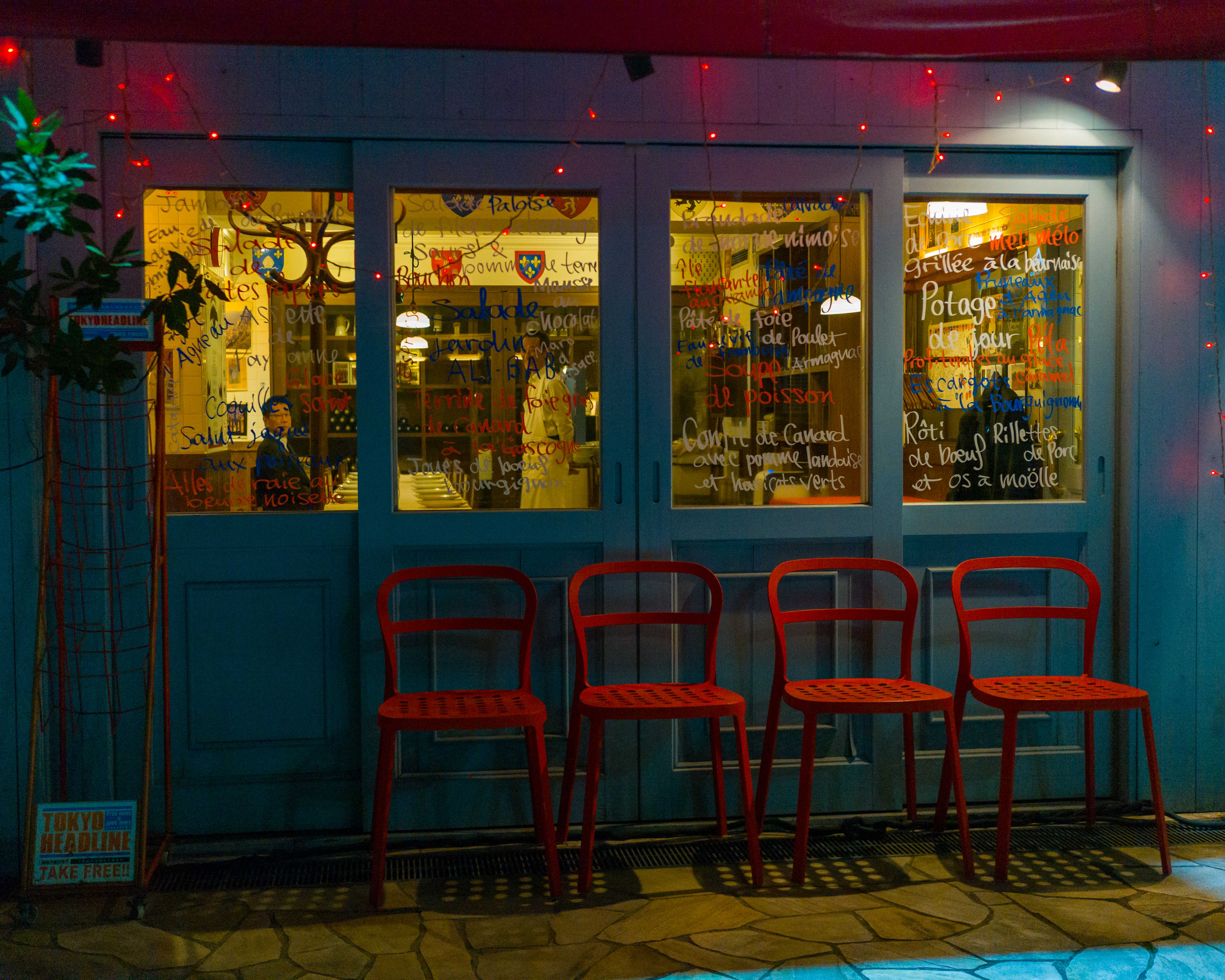
Food? Oh yes! We took full advantage of the amazing breakfast buffet at the hotel, to get us through most of the day. For dinner, we found restaurants with great tonkatsu curry and soba noodles. And there were always onigiri for a snack. One evening, we did a convenience store (konbini) dinner, to see what all the fuss was about over egg salad sandwiches and chicken cutlets. Life changing? No, but they’re not bad.

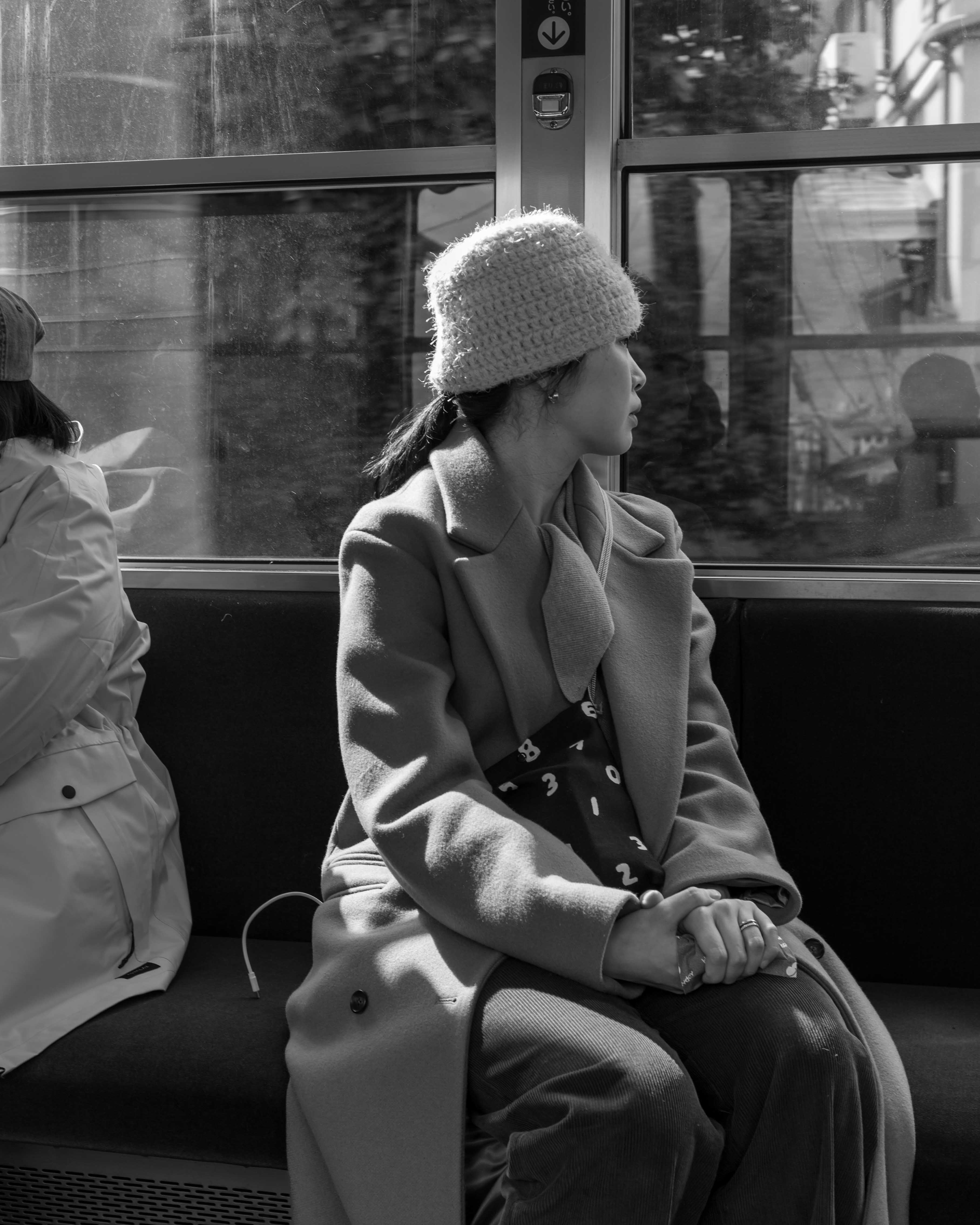
Here’s an album of pictures from Tokyo…

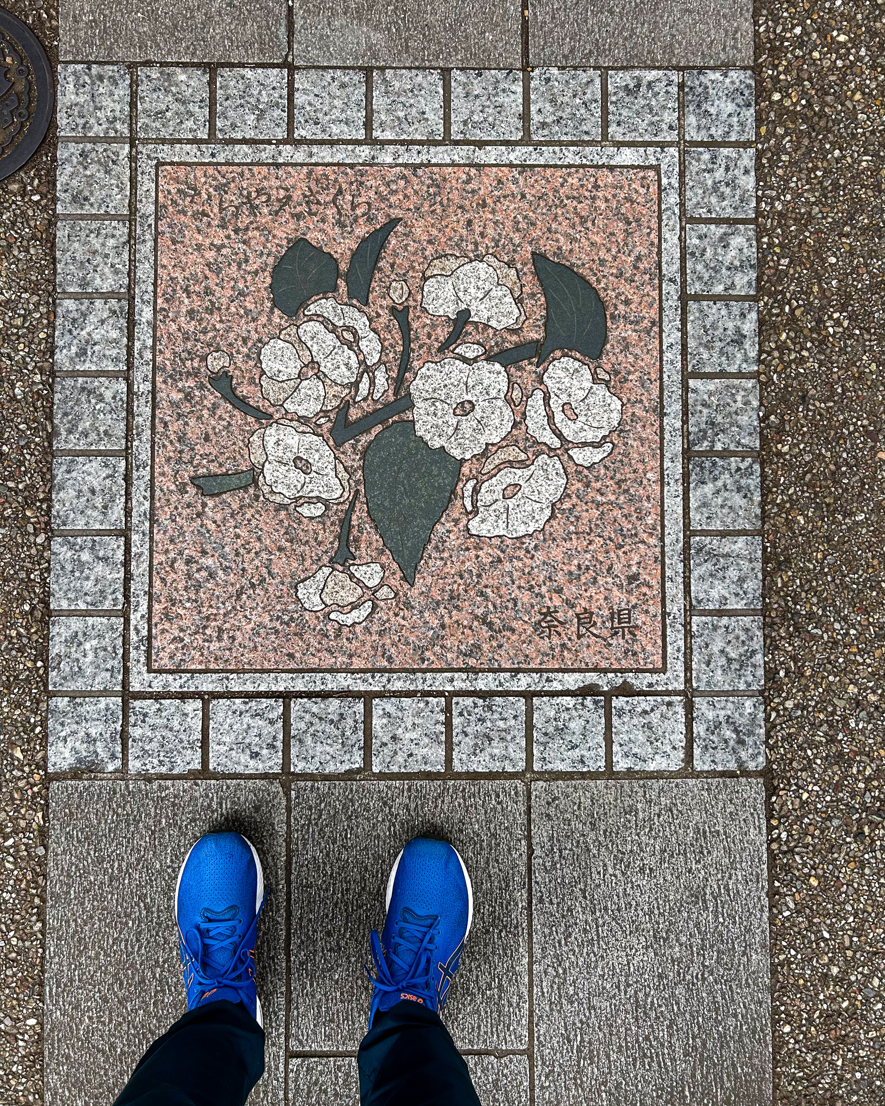
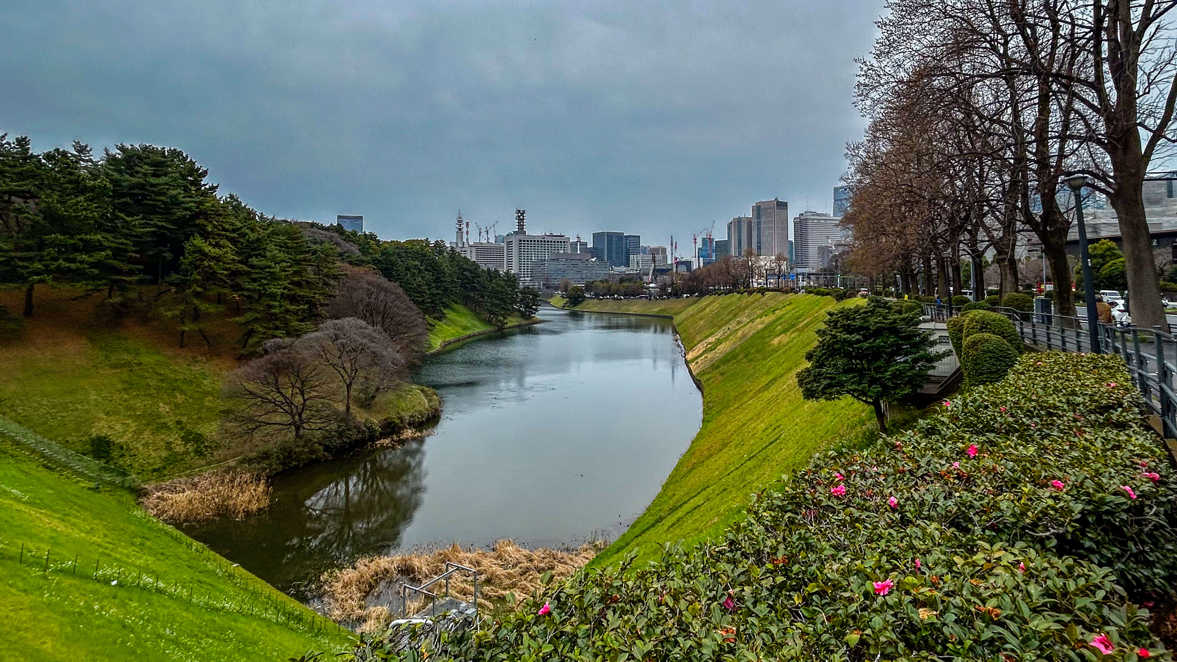
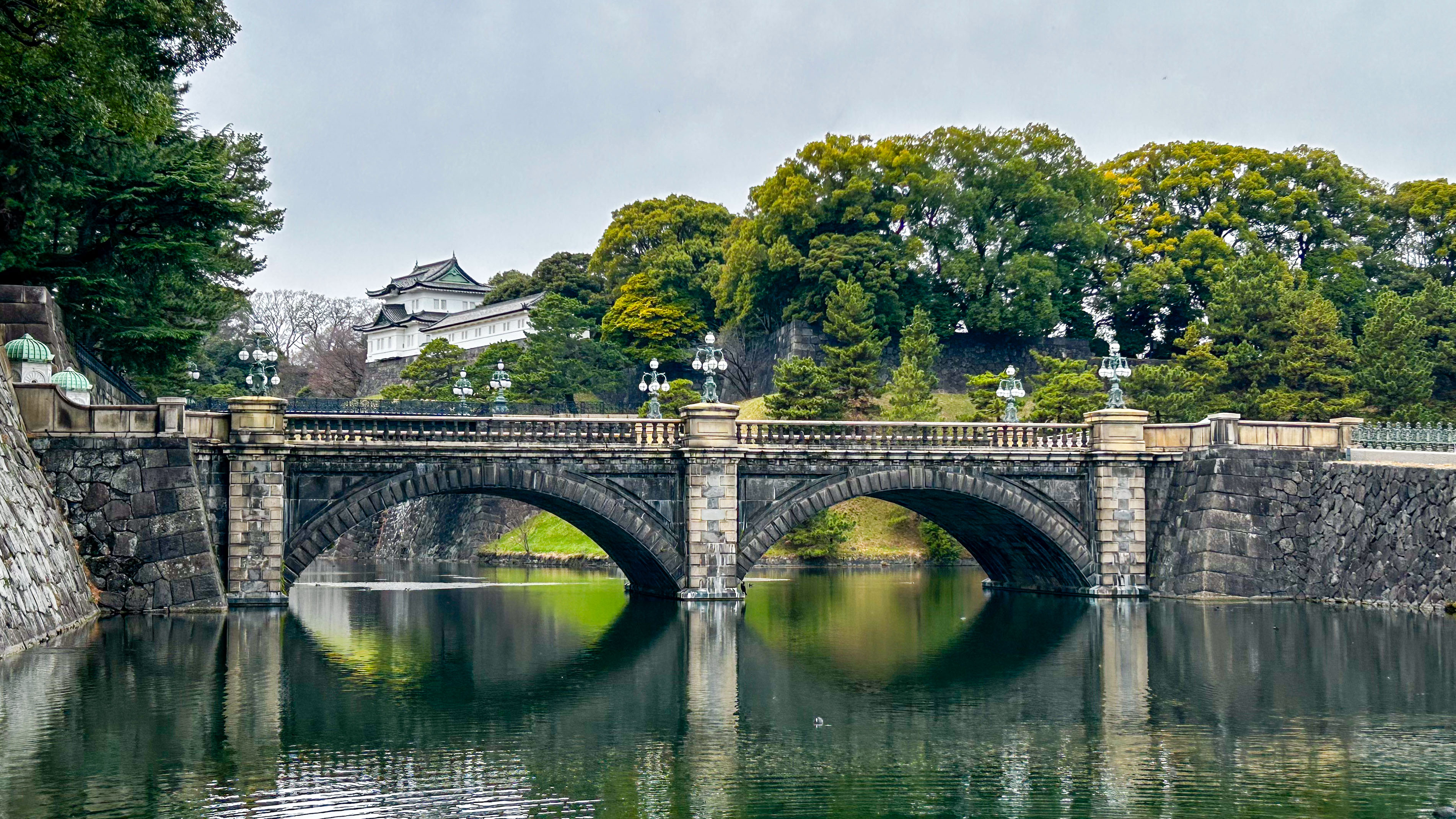
My final run in Japan was a lap around the Imperial Palace. Not surprisingly, it is a popular location in central Tokyo. The grounds are beautiful, with sculptural trees and a huge moat. I noticed a nice touch on the path—the distance markers feature flowers for each prefecture in Japan. I ran and Deb walked, which meant we both earned an ice cream.

The Final Word

Although we’d allowed more time in Kyoto and Tokyo than in other locations, we left both cities feeling there was too much unseen and undone. We were captivated by Kyoto. While it took us a little time to warm up to Tokyo, we left knowing we needed to come back. In the end, we think we were simply overwhelmed, and maybe a bit tired after three weeks. The key takeaway is that we will return to this wonderful country. We’re already planning our next trip, and Matthew has given us a list of Tokyo neighbourhoods we must visit! Who knows, there may even need to be another blog piece, to wrap up some loose ends from this visit.

Sayonara! And until next time, be well and BE FAST!

Mysterious Japan: Part 2

This edition of my trip report focuses on our travels to two smaller destinations, both on the western side of Honshu, the main island of Japan. As mentioned in Part 1, our son Matthew was a great resource for the logistics and details of our trip, particularly this part of it. I hope you’ll enjoy this summary, and of course, do check back in soon for the final installment!

Outline of the Week

First, a quick overview of our travels for this part of our vacation. Picking up the story at Hiroshima Station, we boarded a Shinkansen for Okayama, the capital city of Okayama Prefecture. From there, we caught a city bus to the port of Uno, and then a passenger ferry to the island of Naoshima.

A couple of days later, we reversed course for Okayama, this time on a local train. Then we transferred to a bullet train bound for Osaka, a short distance to the east. We overnighted near Shin-Osaka Station. The next day we took a regional train to Kinosaki-onsen, a small town in Hyogo Prefecture on the northern Sea of Japan coast.

It’s worth saying at this point, again, how impressed we were by the transportation systems in Japan. We were worried about all these connections, but as it turned out, we had no trouble getting to any of our destinations. Every transfer was flawless, and every component of the system was on time, clean and efficient.

The Art Island of Naoshima

Naoshima is a small island in Japan’s Seto Inland Sea. The whole island is only about 14 square kilometres. The terrain is quite hilly. Ferries make the short hop from Uno to the main port (Miyanoura) in about 10-15 minutes. The economy in the north of the island has long relied on industry, mainly copper smelting and aquaculture.

You may ask, what is the attraction to Naoshima? Well, over the last several decades, the south end of the island has become a centre for art and architecture. Benesse House is an organization that works to incorporate art into the local landscape. And when I say into, I mean “into”. The hotel and art museum, which opened in 1992, were designed by renowned Japanese architect Tadao Ando to fit seamlessly into the landscape. One of the buildings, the Chichu Art Museum, is completely underground. There are installations across the island, including multiple sites around the Benesse complex and several conceptual “art houses”.

Copyright for all photographs on the site is mine, unless noted.

We thoroughly enjoyed our stay in Benesse House Park. The view out over the grounds and the sea was beautiful. Even in a steady rain, the setting was impressive—and in a way, the rain enhanced the appeal of the stark concrete buildings. The artwork at the site includes sculpture and photography. We made the short walk to the Museum, and stopped at a couple of the open-air installations along the way. And we had some great meals in the hotel restaurant. The striking feature image for this post was taken just as the sky cleared after dinner on our second day.

The most famous piece on the site, Pumpkin, is a large sculpture by Yayoi Kusama. Pumpkin sits on its own pier a short distance from the hotel. It is definitely the most popular piece too, judging by the crowds that were snapping selfies with it. (I finally managed to get a nice photo of it when I went out for an early morning jog.) The piece was created for a 1994 exhibition of open air works around the museum. Adding to its appeal, the sculpture was blown out to sea (and rescued) in 2022.

Kusama, who is now 97 years old, has been an avantgarde artist for decades. Her pieces often include polka dots, which she attributes to hallucinations she had as a child. Other works of hers are found in Naoshima. We particularly liked her Narcissus Garden, a free form sculpture of stainless steel balls, installed in an open-air pavilion called the Valley Gallery.

Another large and popular Kusama pumpkin—this one red—is installed at the Miyanoura port. It made for a colourful picture when the ferry was moored close by. We enjoyed a short stroll around the town, which features a public bath that doubles as an art installation. Maybe on our next visit…

The Hot Springs of Kinosaki-onsen

Our next major stop in Japan was similar to Naoshima in one respect—it was rather remote. However, its attractions were quite different. We headed to Kinosaki-onsen, on the northern coast of the Kansai region. Onsen are traditional Japanese hot springs, treasured for their mineral-rich waters. The town of Kinosaki is particularly famous, as it has seven public baths where visitors can experience the relaxing geothermal waters in a serene setting.

Our JR West regional train got us to Kinosaki at less than Shinkansen speed, but was just as efficient. While we had brushed up on the etiquette for visiting onsen, we really weren’t sure what to expect. We arrived at our ryokan, the comfortable Morizuya Inn on the town’s picturesque main street. Hatchi, the owner/manager, immediately made us feel welcome, even insisting on some photos on a scenic bridge over the Otoni River.

First things first, we put on our yukata (dressing gowns) and enjoyed a traditional multi-course dinner in the dining room. Crab is the local specialty, it was in season, and it was definitely a highlight of our meal.

Many visitors make it a goal to see all the traditional onsens in the town. They can even get a stamp from each one as a souvenir. We set our sights a little lower, having never been to a public bath in Japan. In the end, we visited two of them, and we enjoyed the experience. Very relaxing! We began to appreciate why this is such an important part of Japanese culture.

Later, we took part in another cultural experience—the tea ceremony, led by Hatchi’s mother. She is a lovely woman, and the ceremony was very special.

Here are a few pictures from our laid-back time in this unique place. The picture of two ladies looking at a store window reminded me of one of my favourite Fred Herzog photos. On our last morning in town, I had the streets to myself for an early morning jog, and I was treated to a magical sunrise. There was some overnight snow on the cars, but coming from Alberta that didn’t seem photo-worthy!

More Impressions

The middle part of our vacation brought many more positive impressions. We had been to opposite sides of the main island, and seen two very different places—the first celebrated man’s impact on the natural environment, while the other let us experience nature’s impact on us. The food was all extraordinary, especially the traditional Japanese meals. And the people were wonderful—so welcoming and respectful.

Up next were the major cities, Kyoto and Tokyo. Stay tuned for that.

Until then, be well and BE FAST!

Magical Japan: Part 1

Japan is definitely on a roll. The trend in its tourism statistics is astounding—international visitors increased 11 percent per year from 2010 to 2024. Many reasons are cited for Japan’s popularity: it has a rich cultural heritage, it’s safe, it has great food, and unmatched transportation systems.

Our son Matthew is an experienced traveller to Japan, and he was instrumental in our decision to plan a visit. In consideration of the tourism figures, we settled on the last few weeks of winter as a good time to travel there. I’ll be posting several articles to convey our full experience, so I hope you’ll stop by and read them all!

Outline of the Trip

Tokyo’s Narita Airport would be our entry point into Japan, but we decided to immediately head away from the capital. Our logic was simple: we would arrive shortly before the Tokyo Marathon, and we wanted to avoid those crowds. Instead, we would head to the western edge of Japan and work our way back to Tokyo at the end of our vacation. A bonus for Deborah was the chance to fly on Peach, one of Japan’s domestic carriers. We overnighted near the airport and caught an early flight the next morning, which was terrific. Our destination? Fukuoka!

Fukuoka: Gateway to Asia

Fukuoka is the largest city in the Kyushu region and the capital city of Fukuoka Prefecture, south and west of the main island of Honshu. Its population is 1.5 million. Demographically, Fukuoka is a young city, and we found it to have an energetic vibe.

We stayed at the striking Hotel Il Palazzo, a recently renovated boutique hotel located steps from the Naka River. The hotel was designed by Italian architect Aldo Rossi, an ambitious project that combined Eastern and Western influences. Rossi was inspired by the palazzos of Venice and the traditional temple of Kyoto.

Copyright for all photographs on the site is mine, unless noted.

We made the most of our time in the central Hakata district: we walked through the Kawabata pedestrian arcade to avoid the rain, strolled the grounds of the Kushida Shrine, and checked out the famous (and crowded) Nakasu Yatai Street after dark. Yatai are pop-up food stalls that Fukuoka is known for. In fact, Fukuoka has a reputation as a “foodie” city. It is perhaps best known for tonkatsu ramen, thin noodles in rich pork bone broth, which is one of my favourite noodle dishes. Of course, we enjoyed a fine bowl of this delicious soup while in the city.

Speaking of food, Deborah managed to secure us a reservation to Zaisho, one of Fukuoka’s best omakase restaurants. Our hotel was an easy walk from the restaurant. The young chef wowed us with six seasonal delicacies and twelve (!) nigiri (bite-sized sushi comprised of fresh fish served over rice). Delicious!

Given our short time in Fukuoka, we took advantage of the efficient subway system (and the versatile IC cards that we would go on to use extensively during our trip) to visit Ohori Park, a large urban park with a scenic central pond.

I had a secondary motive to visit the park—it is the start and finish location for the historic Fukuoka International Marathon. Now, it would take me a whole article to properly explain the significance of this storied race. I have written about it before, in my tribute to Jerome Drayton.

To be truthful, Fukuoka is now relegated from the upper tier of marathon racing. No matter. I was there, and I was determined to do a 4.22 km run—one-tenth of a marathon— by running two laps of the park’s perimeter path, in what I call the Fukuoka Commemorative Run. I changed at the convenient UNPLAN Hostel, and did my run on a beautiful morning.

As I revelled in the company of speedy young athletes, Deb walked and enjoyed the views. She even had an owl sighting, courtesy of an elderly birdwatcher. We enjoyed our first (but far from last) onigiri, delicious and ubiquitous stuffed rice snacks wrapped in seaweed. Then we strolled through the ruins of Fukuoka Castle, where we spotted the first seasonal plum blossoms. Not cherry blossoms—those come later! Already the crowds were growing in anticipation of this welcome sign of spring in Japan.

As we headed to Fukuoka Station for our first ride on the Shinkansen—Japan’s amazing bullet trains—it was already clear that our time in Japan was going to be memorable. Our next destination? Hiroshima!

Hiroshima: City of Peace

Naturally, our arrival at Hiroshima Station was right on time. Hiroshima has a population of 1.2 million, and our hotel (the CANDEO Hatchibori) was ideally located to explore the city.

Hiroshima will always be known as the target of the first nuclear bombing, on August 6, 1945. I’ve been aware of this sad event my whole life, because August 6 happens to be my birthday. We signed up for a two-hour walking tour with Viator. Our guide Moe was very knowledgeable about the city’s history and the bombing. Her grandparents were survivors. She took our small group through Peace Memorial Park, and later in the day Deb and I visited the museum—a must see destination in Hiroshima. The emotional power of the exhibits was overwhelming.

There is much more to Hiroshima than its wartime history. After visiting the museum, we walked through Hiroshima Central Park to the grounds of Hiroshima Castle. We heard the roars of a football match at the nearby Edion Peace Wing Stadium, a bold new facility. In case you’re wondering, Hiroshima’s professional sports teams are the Sanfrecce Hiroshima (men’s and women’s football), the Toyo Carp (baseball)—cool name!—and the Dragonflies (basketball).

A popular day trip from Hiroshima is to the island of Miyajima. We navigated the city’s tram, train and ferry systems to reach the island, and enjoyed some sightseeing in and around the expansive Itsukushima Shrine. The tide was going out, exposing the “floating” Torii Gate for which the shrine is famous. It’s the featured picture at the top of this post. We were captivated by local rituals, like goshuin, the tradition of having a book signed at shrines and temples. Fans of the hobby were lined up to collect unique, hand-drawn calligraphy and stamps as a record of their visit. Rounding out a perfect Sunday afternoon outing was a delicious coffee ice cream.

While in Hiroshima, we (well, maybe I) wanted to sample okonomiyaki—a savoury pancake made with layers of batter, cabbage, meat, and noodles. Okonomiyaki Mitchan Sohonten is a local restaurant, well known for its version of the dish, and it was two blocks from our hotel. We joined the locals in busy cafeteria style seating and ordered a single plate, which was large enough for both of us to enjoy, with a cold Asahi of course!

First Impressions

After only a few days, Japan was weaving a spell over us. It was all so new, and yet welcoming. The people were kind and respectful. The food was beautiful and delicious. We couldn’t wait for our next stop. As it happened, the Nozomi N700 Series train service whisked us there in excess of 250 kilometres per hour.

Until next time, “genkide, soshite hayaku”… I think that’s close to “be well, and BE FAST!”

Exploring North York

We’ve been spending time in North York lately, due to a family matter. For a Hamilton boy like me, the boroughs of Toronto have always been a mystery. Over the years, I have become familiar with a small area of North York, near the intersection of Keele Street and Lawrence Avenue. Our most recent visit yielded some memorable experiences, resulting in this piece.

A brief history of North York

What we now know as North York was the northern part of York Township—the city of Toronto (originally York) formed the southern part. In 1922, the mainly rural population voted to separate from Toronto. Apparently, there was resentment about the lack of services provided by the city in relation to the taxes being paid.

North York has had a long connection to Canada’s aviation industry. This made sense because Downsview was the highest point of land between the Don and Humber Rivers. The Downsview Airport opened as a general airfield in 1929. Early maps (like this one from The Downsview Advocate) show several airfields and aviation facilities.

Downsview was located next to a de Havilland Canada aircraft manufacturing plant, which used the airfield as a test site. It became a Royal Canadian Air Force station in the Second World War. In 1947, the Department of National Defence bought surrounding land to expand the airfield into a RCAF base. Then, in 1953, the RCAF established its storage and repair facilities for Eastern Canada at Downsview. The runways were lengthened to accommodate all types and sizes of aircraft.

Urban development in North York was minimal until after the war. A housing boom in the 1950s and 1960s brought residents into close contact with activities at Downsview. North York grew rapidly—it was incorporated as a borough in 1967, then as a city in 1979, and was amalgamated into Toronto in 1998.

Urban growth was the beginning of the end for the airport. When the Government of Canada announced the closure of Canadian Forces Base Toronto in 1995, the site transitioned into two distinct parcels: Downsview Park and Downsview Lands. Both parcels are overseen by the Canada Lands Company. Downsview Park is a large green space—more on that below.

The airport sits on the Downsview Lands. It was closed in March 2024. Now, a major urban redevelopment project, “YZD”, is underway for the site. Valued at $22 billion, the project is unique in that it will repurpose facilities at the airfield (the hangars and the mile-long runway) into a new community for 55,000 residents. This project plan (the id8 Framework Plan) shows the park and the future residential areas.

Downsview parkrun, solo edition

Our location was just south of the busy Highway 401. Downsview Park is about the same distance from the highway on the north side. That meant we were fairly close to the Downsview parkrun.

Like all parkruns, Downsview is a stress-free running event, held every Saturday morning. Well, almost every Saturday morning.

I pitched the idea of arranging our daily outing around the parkrun, and Deb was up for it. We figured we could take an Uber to the start, see the park, and then walk back to the house. Unfortunately, Mother Nature had other plans. Toronto was in the grip of a cold snap so severe that the organizers cancelled the run, out of concern for the volunteers.

Our enthusiasm was only slightly dented by this news, because we had set our minds on seeing the park. So we went ahead with our plan. I did an easy jog, two laps of the park on the well-marked trail, while Deb walked. It was a beautiful, sunny morning. The park is a treasure. It was a good thing we had bundled up, because it was cold. A good excuse to keep moving.

I took a few pictures with my iPhone 14, which is never quite as convenient as my Ricoh GR III—especially since I had to take my gloves off each time!

A highlight of my run was a meeting with a group of birdwatchers. I had to admire the dedication of these hardy folks. It’s one thing to be running at -20 Celsius and quite another to be standing knee-deep in snow. I was curious what they were looking at, so I stopped and said hello. They pointed out a long-eared owl, perched in a tree about 50 feet away. Once more, I took my gloves off and tried to snap a picture. It was not a resounding success. The shot on the left is mine. The one on the right, from the Audubon Society, shows what the bird actually looks like.

Record snowfalls—a personal history

The cold and wind that led to the cancellation of the parkrun were just a taste of what was to come. On Sunday, Toronto experienced the largest single-day snowfall in its history. The official figure was 46 cm of snow. We had work to do in the house, so I was content to stay inside while the storm raged. Deb was more adventurous, and she gamely did some shovelling around the house.

The talk about record snowfalls reminded me that, by coincidence, I had been in Toronto many years earlier for another historic winter event. There was some notoriety around that day in January 1999 when Toronto’s mayor, Mel Lastman, called in the military to help dig out the city. He was ridiculed because, you know, this is Canada. We can deal with snow. (Photo: The Weather Network)

My connection to the 1999 snowfall was professional in nature. I was in town for a business meeting, and I was staying at the luxurious Royal York Hotel. The city shut down, and I was trapped. Oh, the hardship! Mind you, the hotel’s kitchen and bars remained fully operational, so it wasn’t all bad. In fact, since the streets were abandoned, I got to my meeting 30 minutes early. 

Apparently, I’m not the only one who was curious about how these two events (1999 and 2026) compare. Check out this chart from a CBC article. It turns out 1999 was worse than 2026, only because of the accumulation of snow that occurred in the days leading up to the big event. In retrospect, maybe we can cut Mayor Mel some slack after all! 

The days before and after Toronto’s record snowfall provided some good photo opportunities. It was a monochrome world as the city dug itself out. Here’s a sample. Copyright for all photos is mine.

Wrapping up

All told, it was an interesting week in Toronto (or North York, if you prefer). We experienced weather more reminiscent of Alberta than Ontario. I tried to add the Downsview parkrun to my resume, and even though that didn’t happen, Deb and I had an enjoyable outing. And then we weathered the storm. I expect to be back there in the spring—-hopefully it will be worthy of another post. 

Until next time, be well and BE FAST!

Milestone Reached—100 Blog Posts!

With a small, self-congratulatory pat on the back, I will advise my readers that this is the 100th post on My Second Running Life. It seems appropriate that I’m writing this as we turn the page to a new year, and also as I approach the third anniversary of this project. These are both events that lend themselves to introspection, so I will do a bit of that before looking forward to 2026.

State of the Blog

With a few exceptions, I write pieces on these topics: running, photography, and/or strokes. Here’s my rationale—running has been a constant presence in my life for fifty years; strokes threatened to end it all, and likely would have, had it not been for the previous point; and photography has increasingly been the medium where I express my thoughts and feelings as I go through life.

And what about this life—My Second Running Life? When I settled on the title for the blog, it was my way of reminding myself that fulfillment can come in different ways. I think the title still serves that purpose. I hope that my readers see it the same way.

I will add a thought for readers who may struggle to balance elements of their own life, especially if that includes trying to maintain a high standard of performance as an amateur athlete. For many years, I was there, too. Let me remind you that there will be no harsher judge of your success than you. Only you can decide what success looks like—don’t let anyone presume to tell you. And only you can give yourself permission to back away when that is the right thing to do, because of family or work commitments. It’s worth remembering that the word amateur refers to someone who participates in an activity for no reason other than the love of doing it.

I describe competitive distance running as a perfect proxy for life itself. There will inevitably be highs and lows. In a race, we may be having a rough stretch, only to find the next mile is better. If today’s effort falls short and the race doesn’t go to plan, we can console ourselves with the thought that there will be another chance soon.

In other words, we must never lose hope or stop believing in ourselves. That’s what this blog has always been about.

The Year in Review

Running

My days of preparing for and executing goal races are over, but I will never tire of being around runners. In 2025, I had plenty of opportunities to catch racing action in Alberta; cheer on friends and teammates; meet some very talented athletes; do some volunteering; and, of course, snap some memorable photographs. We also said goodbye to a dear friend. You can read about the major events on the calendar here, here, and here. Below is a small sample of my favourite running pictures from 2025:

Copyright for all photographs is mine.

Strokes

When I started on the path of self-publishing a book, I knew almost nothing about the process. However, I knew I wanted to share what I had learned about strokes, which are typically the fourth leading cause of death in Canada. And I wanted to give back in whatever ways I could, to support the essential work being done every day at the Foothills Stroke Unit and the University of Calgary.

I was fortunate last year to have had several opportunities to tell my story, as written in Stroke of Luck. It’s extremely gratifying to share my key messages: the importance of an active lifestyle, awareness of the full range of stroke symptoms, and recognition of (and support for) the world-class stroke care and research being done at Foothills.

Naming everyone who made these events possible would be difficult. I appreciate the help of the Calgary Health Foundation to ensure that funds raised go where they should. Let me share a few photographs from events in Canmore, Edmonton, and Calgary:

I close my posts with the acronym BE FAST, but it seems timely to remind my readers just what this small and powerful phrase means:

If you or someone you care about is experiencing any of the symptoms of stroke, don’t hesitate—call 9-1-1 right away! If you want to learn more, do check out some of these other posts on the blog: here, here, and here.

Other Photography

Photography has become my constant companion, on my runs and walks, in good times and bad. Believe me, the last couple of years have brought more than enough bad news. Fortunately, memories of family and friends that we’ve lost are a blessing that will sustain us.

I still prefer to carry a dedicated camera, although I find myself slowly giving in to the convenience of digital. I admit that I shot less film in 2025 than I have in previous years, and that’s a shame. In any case, here are some of my memorable shots from 2025 (all digital, as it happens):

Regardless of the format, my approach to photography is almost completely intuitive. Recently, a guest on my blog wrote that calling myself an observer may not be accurate. But that’s okay. I never know what pictures I’m looking for when I head out the door. What I’ve learned is that I should trust my instincts—if I see something that catches my attention, I should react to it. I plan to keep that going.

Goals for 2026

With a bit of luck and planning, I think 2026 will be a good year. The first good omen was the Sheep River Parkrun on New Year’s Day in lovely Okotoks. It was a perfect start to the year, as I was surrounded by good friends and my son Daniel.

This morning, chinook clouds south of Calgary seemed to be calling to me. I drove in that direction and found myself back in Okotoks, at the “big rock” which gives the town its name. As I admired and photographed this impressive glacial erratic, it occurred to me that the rock is a symbol of my life—it’s not on the path that was expected, and it sits in pieces. I take solace that, like the rock, I have survived. It’s a fitting picture for the top of this post.

As I quietly walked around the famous rock, I thought about topics for future articles. One idea I have is a series of photo runs in my favourite Southern Alberta towns, including more shots on film. I think it will be a wonderful way to explore the history and culture of our province, while (more or less) staying in shape. So look for that, as well as more of my favourite photographs from life, and of course, news on stroke research and prevention.

I hope you’ll check in often. As ever, be well and BE FAST!

Return to Prairie Mountain!

Just as Santa can be counted on for a visit in late December, we look to my friend Tim to reveal the details of the annual Prairie Mountain Winter Sunrise Hike. True to form, Tim set the date for the 2025 hike on December 29. Sunrise on that day would be, within a few seconds, the latest of the year.

Working back from a target of 8:39:33 a.m., our convoy of eight hikers met up at the Tsuut’ina Subway on Buffalo Run Boulevard at 6:10 a.m. With practiced efficiency, we were geared up and on the trail by 7:00 a.m. We expected to have ample time to reach the summit.

I’ve posted on our previous PM hikes, and I’m pleased to say these pieces have been popular. In 2023, I shared photos of a beautiful sunrise in Part 1: The Hike and delved into the mysteries of the celestial world for Part 2: The Science. We were not deterred by last year’s cloudy conditions—you can read about that hike here. This year’s forecast suggested that the star attraction would likely make a return appearance.

For readers who are unfamiliar with Prairie Mountain, it is the most accessible mountain for Calgary hikers. Accessible doesn’t mean easy, though—this is a good workout at any time. Last year, I noted that the hike seemed to be tougher than what I remembered. This time out, I had the same feeling. I’m not sure I like that trend! One foot, then the other. Repeat.

The Hiking Bit

Given the snow-packed conditions on the trail, I was (again) very thankful for the new stone steps on the toughest sections. Even so, I welcomed a short pause at the first lookout, where we switched off our headlamps. I couldn’t help but notice the vibrant orange light to the east, which was already impressive as we approached the summit ridge. Were we too late?

Because any PM summit is an impressive achievement, here’s my Strava activity summary.

A few words on equipment. I decided to bring my “good camera”, the totally manual Leica M10. It’s a wonderful camera, but when you are bringing up the rear in the dark, as I was, adjustments are challenging. That meant I came home with blurry shots of my hiking partners’ backsides and severely underexposed images. Overall, I think the Ricoh GR III is better suited to this task. As always, my Kahtoola Microspikes and ancient red Komperdell poles were a necessity.

As usual, our group set a steady pace. (I hang around with some very healthy folks.) It’s hard to blame my comparatively slow pace on my photographic duties unless I present a few photos. So here’s the evidence!

Note: Copyright for all pictures is mine

We enjoyed the relatively mild temperature (-5C) and the shelter of the treeline for most of the hike. However, as soon as we reached the summit ridge, we were immersed in a strong westerly wind. We slogged the rest of the way up the ridge. The small Canadian flag on the summit cairn was no match for the stiff breeze. We headed for the shelter of a few scraggly trees below the summit to wait for the rest of our group. With fingers losing feeling, operating cameras and zippers became almost impossible. There was no loitering at the top on this day!

The Technical Bit

Given the challenges I mentioned with manual camera settings, I thought it might be interesting to present a comparison of my pre- and post-editing for one of this year’s key PM shots. I suppose this is called making lemonade out of lemons.

Of course, everyone hopes for a good group picture at the summit. This year, we imposed on a solo hiker who reached the summit just ahead of us to do the honours. Now, my comment that “the settings should be fine” must be tempered with the reality that I didn’t actually look at these before handing over the camera. Yes, I was freezing, the wind was howling, and for all I know, he had never touched a manual camera before. I’m fully to blame for any technical shortcomings. That said, my heart sank when I saw the images straight out of the camera. However, with some comprehensive (and slightly desperate) work in Lightroom Classic, I managed to extract a passable image. You can compare the before and after image here:

A hardy group celebrates another Prairie summit!

At the risk of losing some readers, I’ll summarize the edits I made to this image in my attempt to rescue it. First, I increased the overall exposure significantly—a whopping 3.5 stops. I think the meter was fooled by the sun in the centre of the image. Then I dropped the sky by a stop, and raised the foreground by almost another stop. I raised the white balance to warm the image up slightly. I dropped the highlights, mostly around the sun, and raised the shadows. Then I increased the saturation, clarity and dehaze. That left me with a noisy image, which I tried to fix using the latest AI tools in Lightroom. In the end, I gave up, as all this did was create artifacts that were, to my eye, worse than the noise.

So, as long as no one looks too closely, this is a fair reminder of what it felt like to stand on the summit that morning. My homework for next year is to be better prepared.

Wrapping Up

With the start of a new year, one is often moved to contemplate things that truly have value and be thankful for people who are important in life. I’m very fortunate to be surrounded by like-minded people who value fitness and friendship. And we are all blessed to have special places like Kananaskis just a short drive from home. Thanks, Tim, for getting us out there and up there again.

The annual winter solstice hike was a great experience and a perfect end to the year. Oh yes, the post-hike coffee and baked goods at the Handle-bar Cafe in Bragg Creek were delicious. And well earned.

Until next time, be well, BE FAST—and Happy New Year to all!