Well, here we are in June. Because this is Alberta, the weather has been more suited to November. As I write this, I’m huddled in my basement, to get away from the wind and rain. For today at least, the idea of writing about running is more appealing than an actual run.
I started the year with the idea of a series of photo runs, highlighting interesting towns in southern Alberta. My first subject was Longview, and you can read that piece here. I’ve visited more towns in the meantime, and I hope you’ll enjoy this summary of one recent outing.
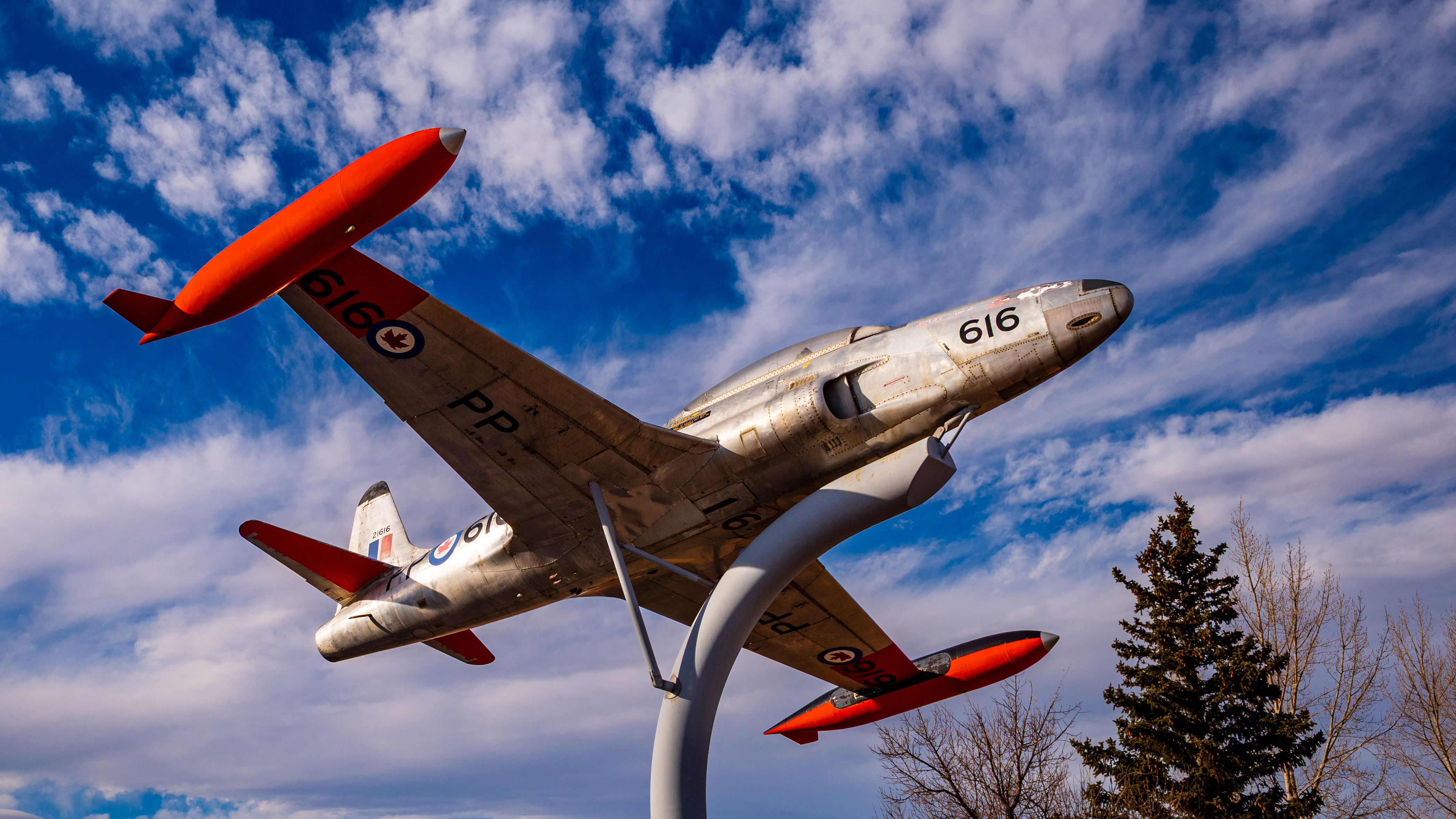
The Bomber Command Museum
Nanton is located about an hour south of Calgary. Pioneers first settled in the area around the turn of the twentieth century, and in 1903 the village of Nanton was formed. It was named for Sir Augustus Nanton (1869-1925), who was a partner in the financial firm Osler, Hammond and Nanton. The town was incorporated in 1907. Its population has been fairly steady around 2,500 in recent years.
My interest in visiting Nanton was twofold. Deborah and I were overdue for a return visit to the Bomber Command Museum. The museum is a gem. It documents the fascinating history of aviation in Alberta in the first half of the 20th century. We made the scenic drive on a beautiful February day, which felt more like June. Oh right, Alberta.
Almost before we got in the door, we were chatting with the knowledgeable volunteers. We then got an insider’s tour of the hangar. The museum displays offer a complete record of the men and women who were at the forefront of military aviation. The hangar is well known for its collection of wartime airplanes and other equipment. It was quiet during our tour, but make no mistake—this is a working operation.
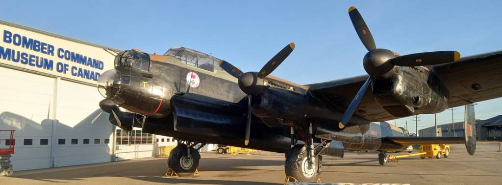
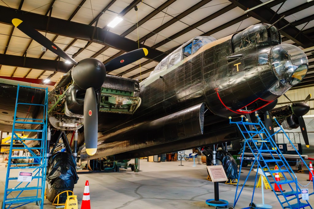
We had a close up look at the museum’s restored Avro Lancaster bomber (FM-159). The plane is dedicated to Ian Bazalgette, a Lancaster pilot who was awarded the Commonwealth’s highest award for valour in the Second World War, the only Albertan to receive the honour. The Lancaster is legendary, and the story of FM-159 and its connection to Nanton would fill another piece. You can read about it here. The museum’s plane isn’t airworthy, though it is started up from time to time. While FM-159 never flew in combat, it saw service in maritime patrol.
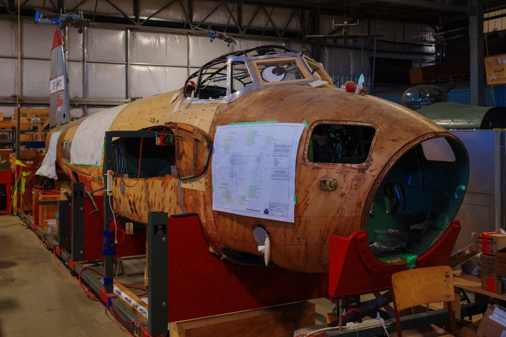
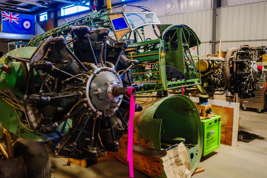
There are a couple of major projects going on at the museum. A DeHavilland Mosquito (CF-HMS) was moved to Nanton after 50 years in storage, and is now being meticulously restored. Like FM-159, CF-HMS has some history, which you can read about here. The Mosquito was a highly versatile plane—its wooden fuselage and wings meant it was light and fast. It was also rugged and easily repairable. And it was ideal for reconnaissance, as it could evade enemy radar. CF-HMS was built just after the war, and it served as a photo mapping plane.
An Avro Anson Mk. II (#7481) is being restored, with the goal of keeping as much original material as possible. The Anson was designed in the UK for civil aviation, and a military variant soon followed. About 1,000 Anson Mk. II aircraft were built in Canada. Although it was intended as a maritime patrol aircraft, the airplane found its niche as a multi-engine trainer during the war. As for Anson #7481, a lot of work has already been done and much remains to do. This is clearly a long-term project. Seeing this work up close confirmed how dedicated the museum volunteers really are.
British Commonwealth Air Training Plan
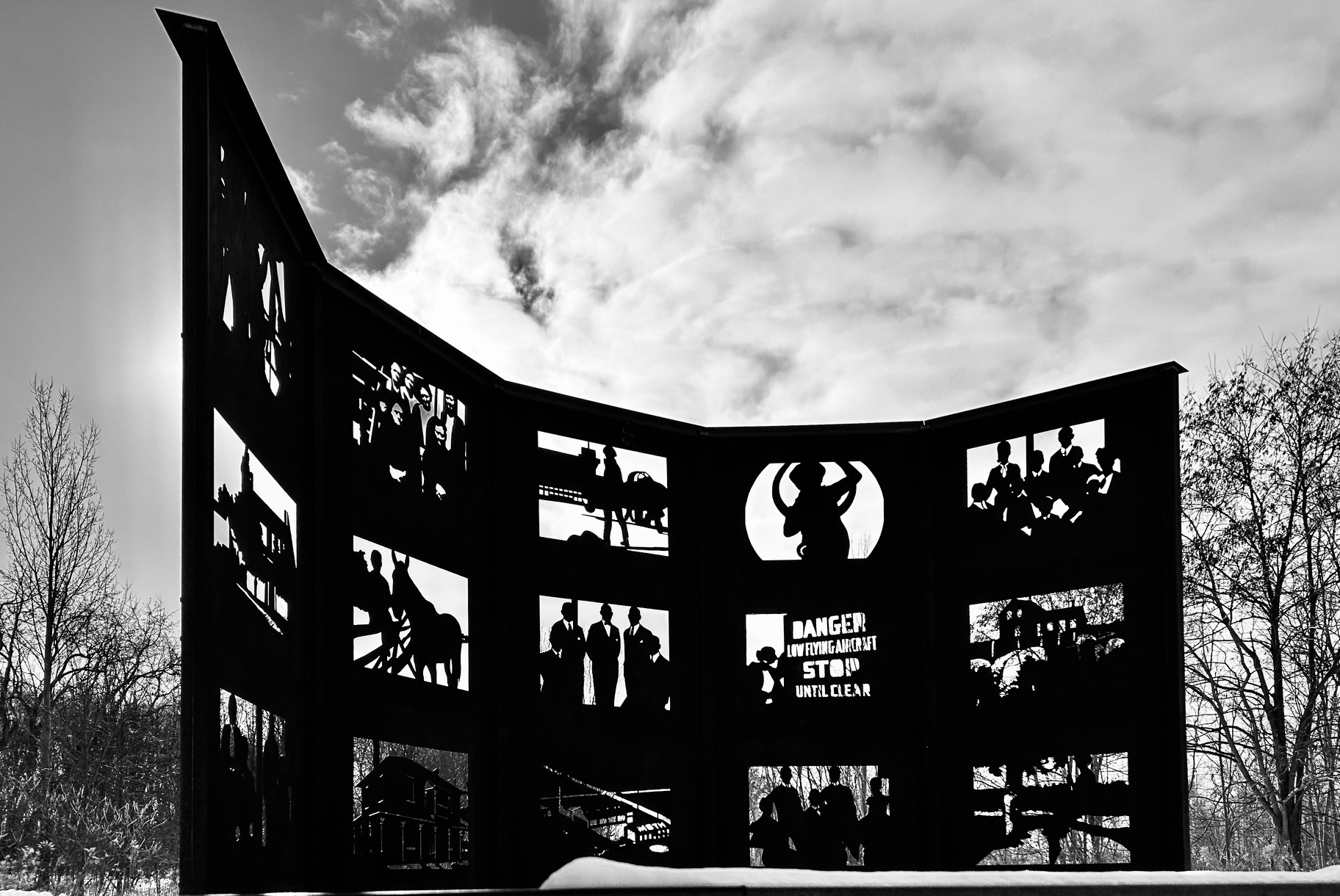
Did you know that southern Alberta played a pivotal role in the Allied war effort? Under the direction of the British Commonwealth Air Training Plan (BCATP), aviation training facilities were established in about 230 locations, in every Canadian province. The program initially relied on existing airfields and training facilities, and was soon supplemented by purpose-built sites.
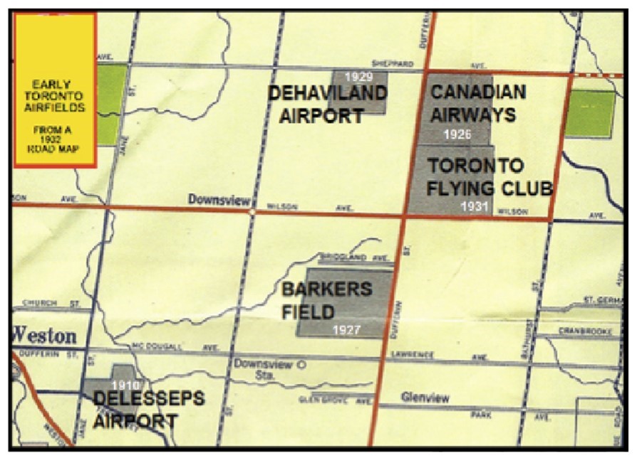
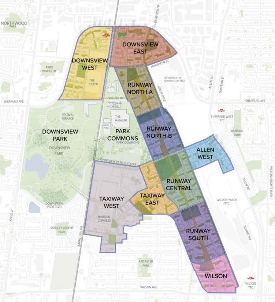
Coincidentally, I recently wrote a piece about North York, in Toronto. The de Havilland Aircraft plant in Downsview has an illustrious past—during the war it supplied thousands of airplanes to BCATP schools across the country. In all, more than 130,000 people graduated from BCATP programs.

The wide open skies and agreeable terrain in Alberta made it an ideal location for aviation training. From command headquarters which were set up in Calgary in 1941, flight training took place at multiple locations across the province. In total, there were 18 training sites in Alberta, which helped meet the diverse needs of Canada’s rapidly expanding air force.
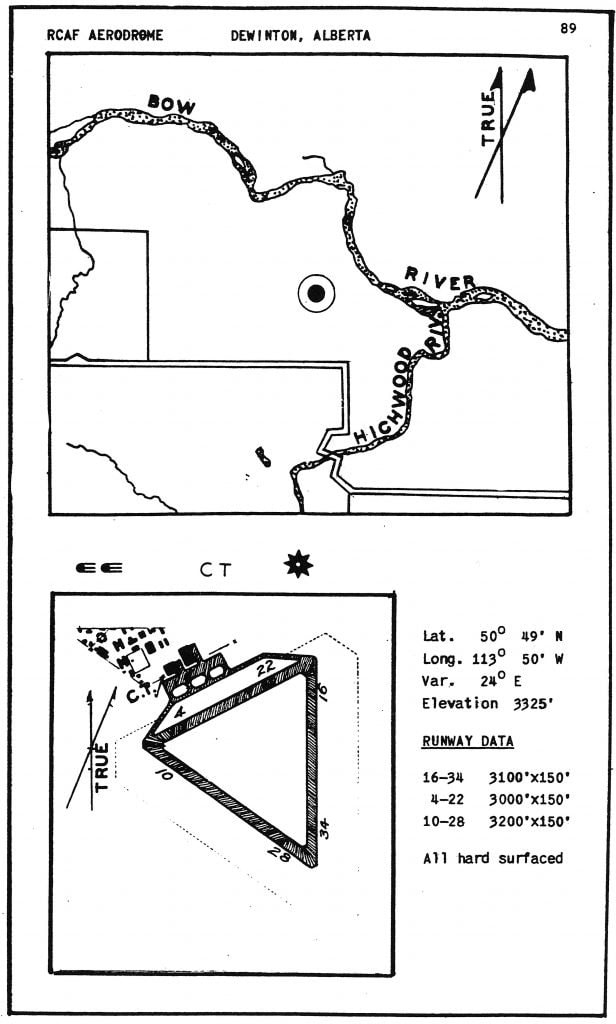
While no facilities were established in Nanton, the town was right in the middle of the action—training schools at nearby Claresholm, De Winton, High River, Fort MacLeod, Lethbridge and Vulcan meant the skies over southern Alberta were busy during the war years. This image from 1942 shows details for the airfield at the No.31 Elementary Flying Training School in De Winton. The triangular runway configuration is typical for military airfields.
As you’d expect, RCAF history is well documented. I’ve only scratched the surface of RCAF history in Alberta for this piece. If you’re interested in learning more, I can recommend several books by local author and historian Dave Birrell:
- The Canadian Air Force at High River
- The Bomber Command Museum of Canada
- People and Planes: Stories from the Bomber Command Museum of Canada
Birrell is one of the founders of the Bomber Command Museum, and the museum bookstore carries print copies of his many books. The above titles and some others are available for free download; click here. I’d also recommend RCAF.Info as a good resource for information about BCATP sites across Canada.
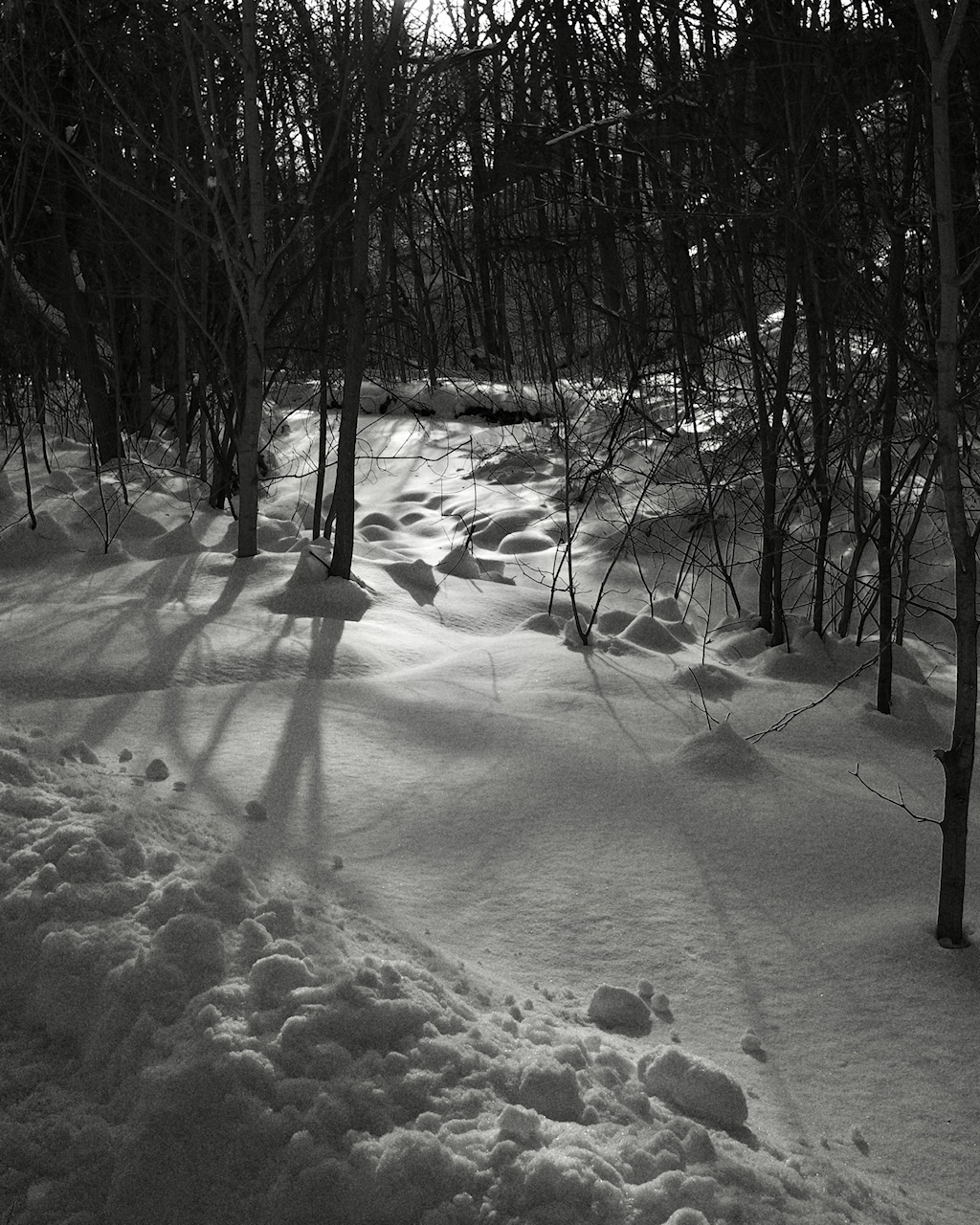
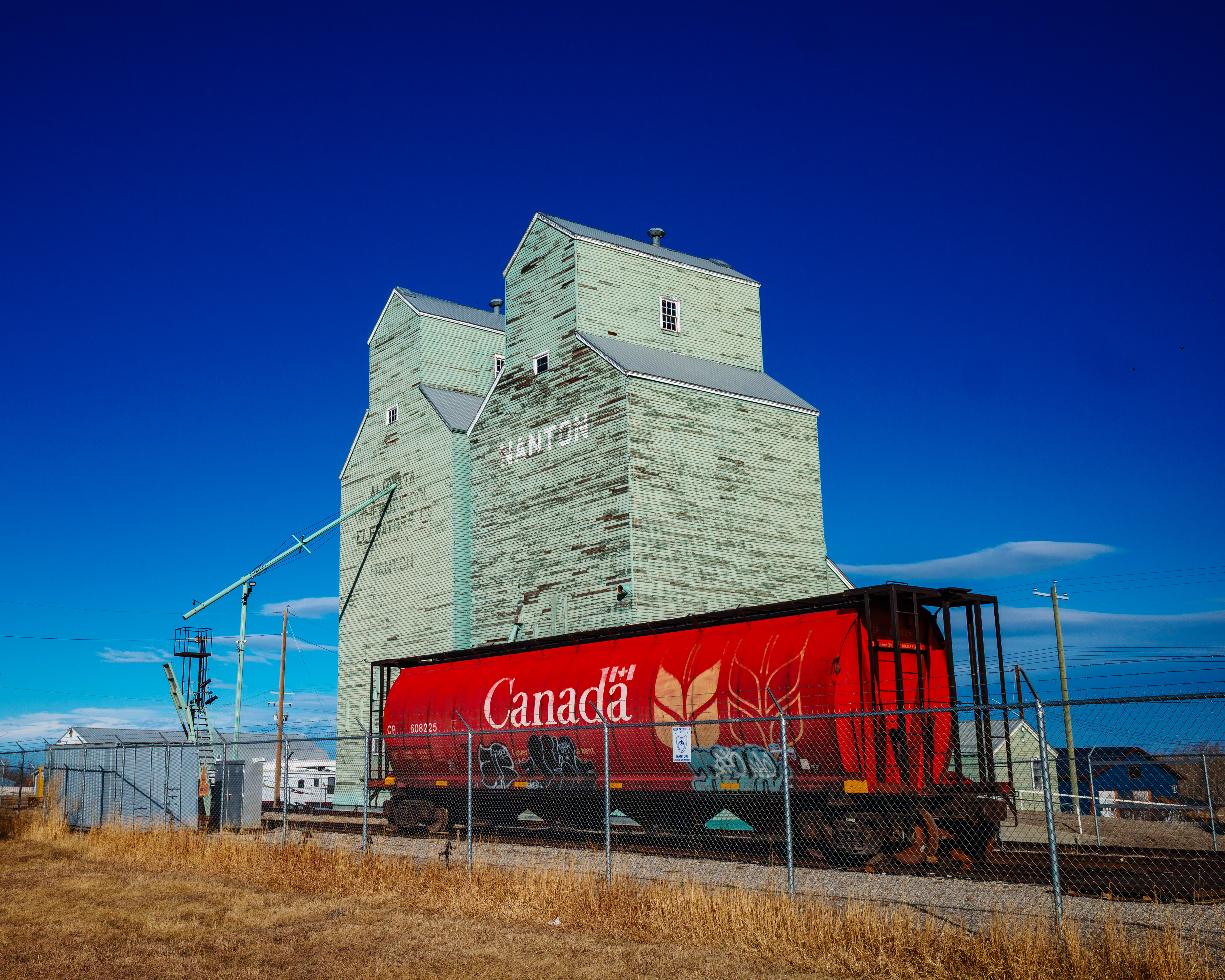
While in Nanton, a photo run
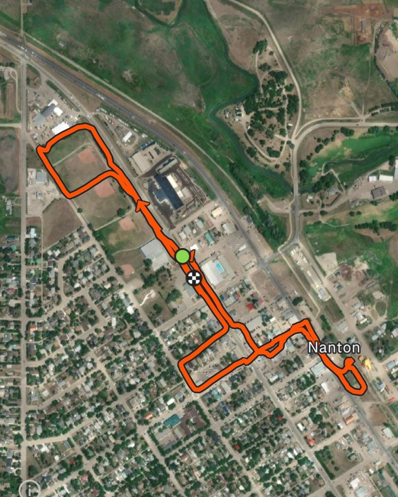
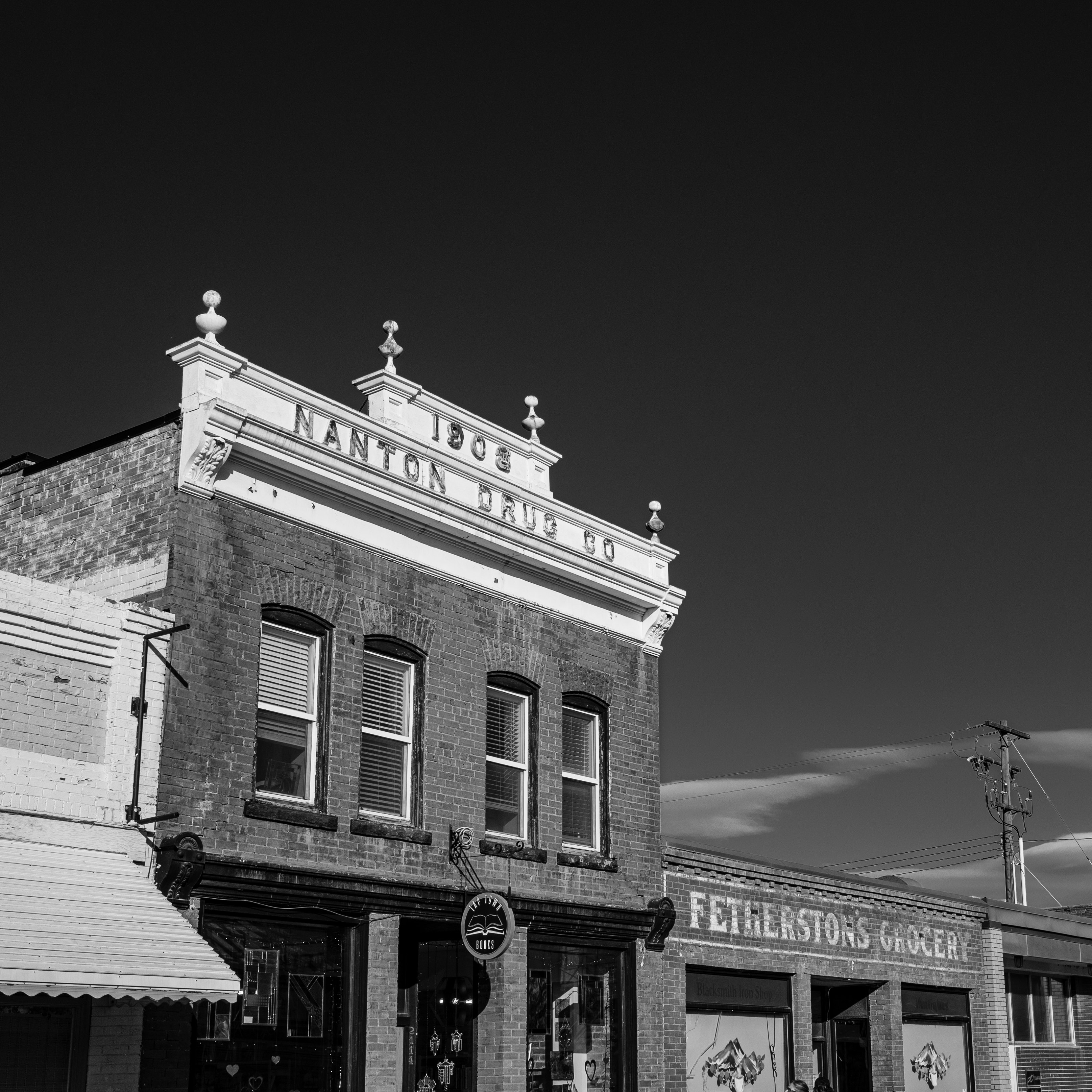
After our museum tour, I did a short photo run around the town. I headed for the tallest structures on the horizon, the town’s twin grain elevators. (Yes, we will have to come back another time to visit the Canadian Grain Elevator Discovery Centre.) Of course, I checked out Nanton’s main street. Then, because it was such a nice day, I extended my run by doing a lap around the park on the north side of town.
Here are a few shots from my photo run:

Touching down
We left Nanton feeling we’d experienced a lot. At a precarious time in the world, it’s perhaps more important than ever that we remember the role Canada has played as a defender of democracy. Our aviation history is a big part of that story. And that history is being preserved and celebrated at the Bomber Command Museum. The museum is well worth a visit, and rest assured there’s more to see and do while you’re in Nanton.
Until next time, be well and BE FAST!