This edition of my trip report focuses on our travels to two smaller destinations, both on the western side of Honshu, the main island of Japan. As mentioned in Part 1, our son Matthew was a great resource for the logistics and details of our trip, particularly this part of it. I hope you’ll enjoy this summary, and of course, do check back in soon for the final installment!
Outline of the Week
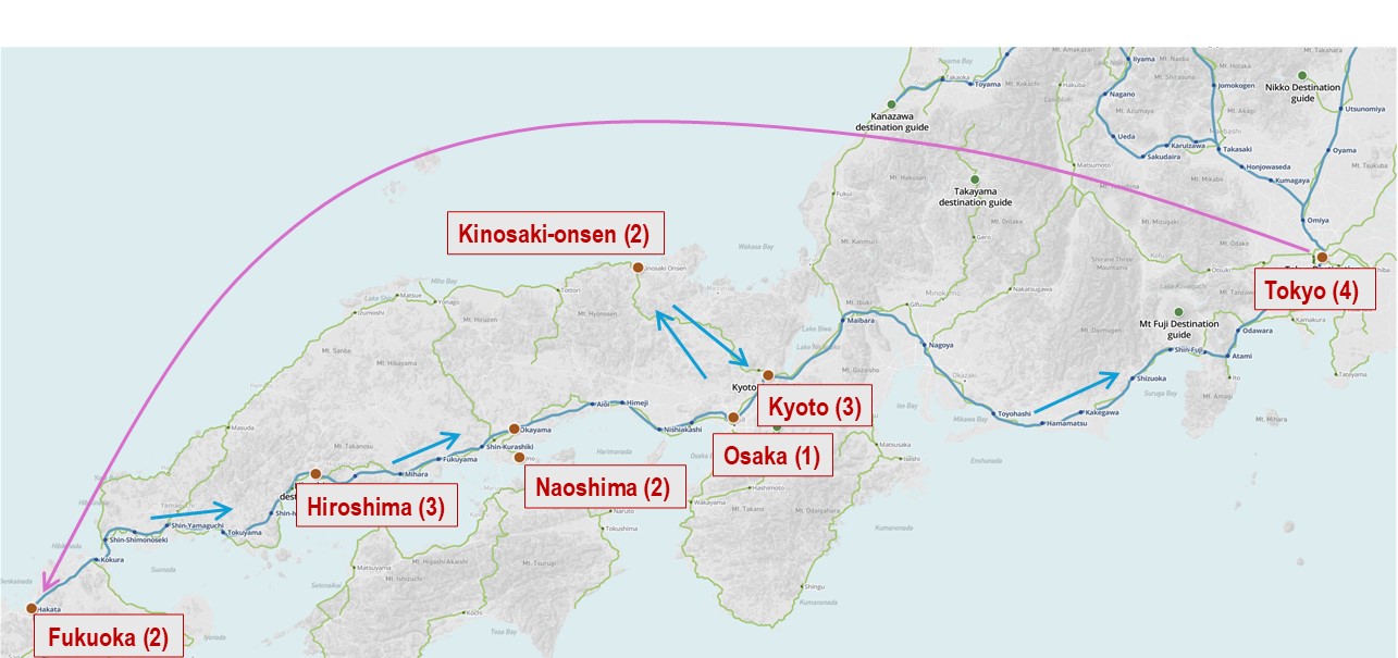
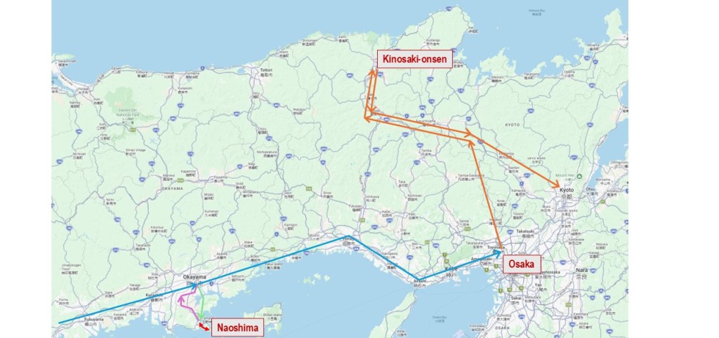
First, a quick overview of our travels for this part of our vacation. Picking up the story at Hiroshima Station, we boarded a Shinkansen for Okayama, the capital city of Okayama Prefecture. From there, we caught a city bus to the port of Uno, and then a passenger ferry to the island of Naoshima.
A couple of days later, we reversed course for Okayama, this time on a local train. Then we transferred to a bullet train bound for Osaka, a short distance to the east. We overnighted near Shin-Osaka Station. The next day we took a regional train to Kinosaki-onsen, a small town in Hyogo Prefecture on the northern Sea of Japan coast.
It’s worth saying at this point, again, how impressed we were by the transportation systems in Japan. We were worried about all these connections, but as it turned out, we had no trouble getting to any of our destinations. Every transfer was flawless, and every component of the system was on time, clean and efficient.
The Art Island of Naoshima
Naoshima is a small island in Japan’s Seto Inland Sea. The whole island is only about 14 square kilometres. The terrain is quite hilly. Ferries make the short hop from Uno to the main port (Miyanoura) in about 10-15 minutes. The economy in the north of the island has long relied on industry, mainly copper smelting and aquaculture.
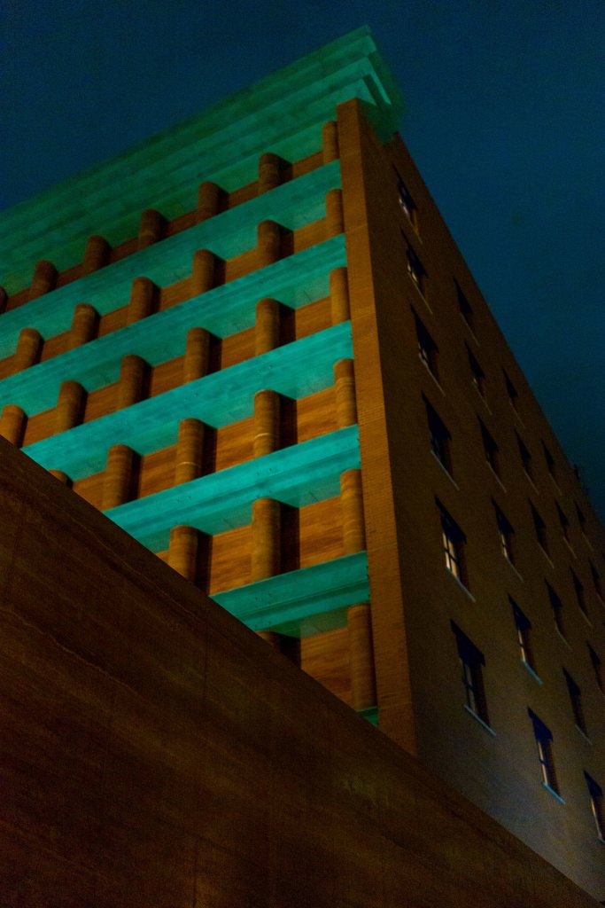
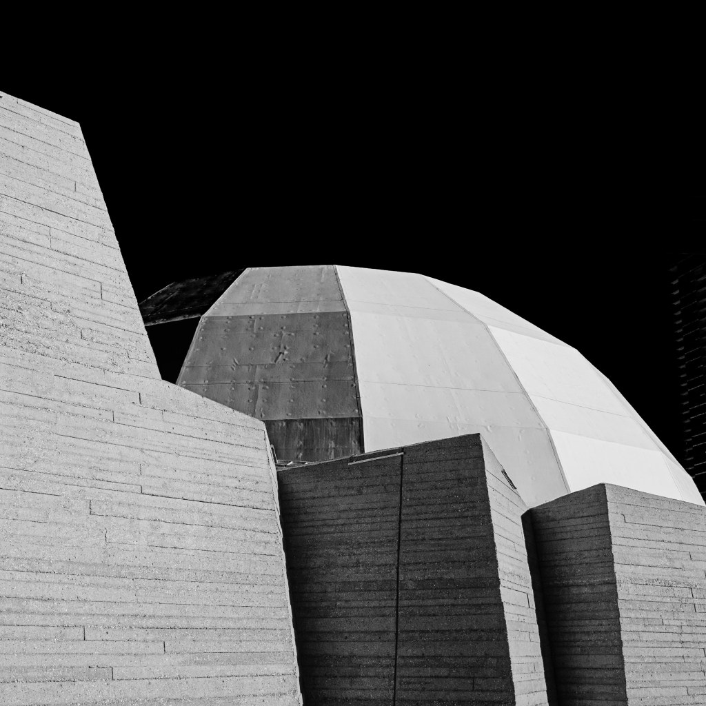
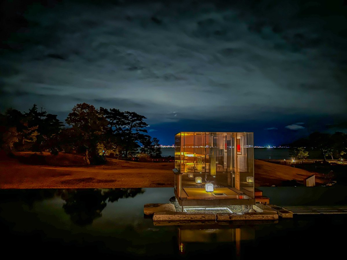
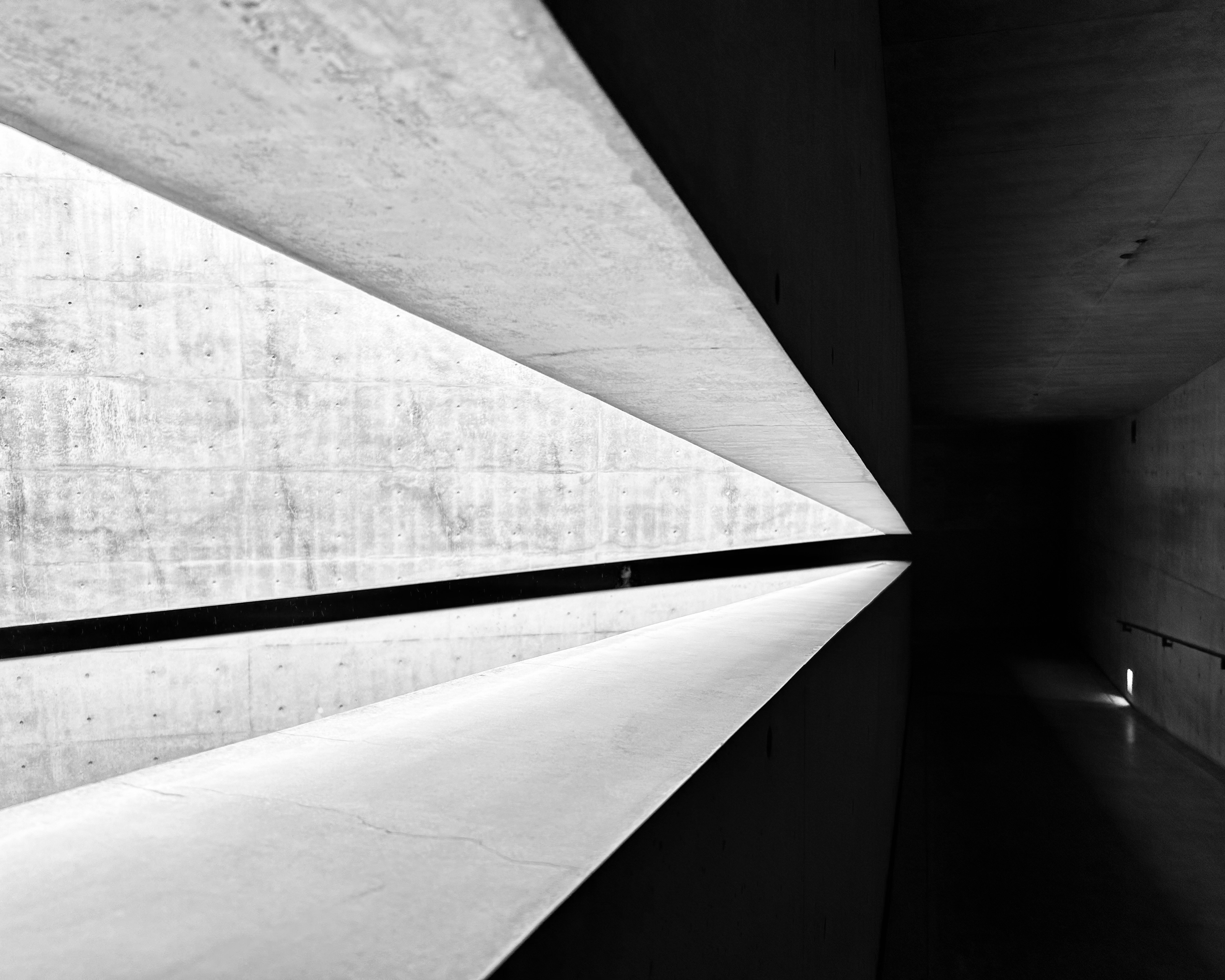
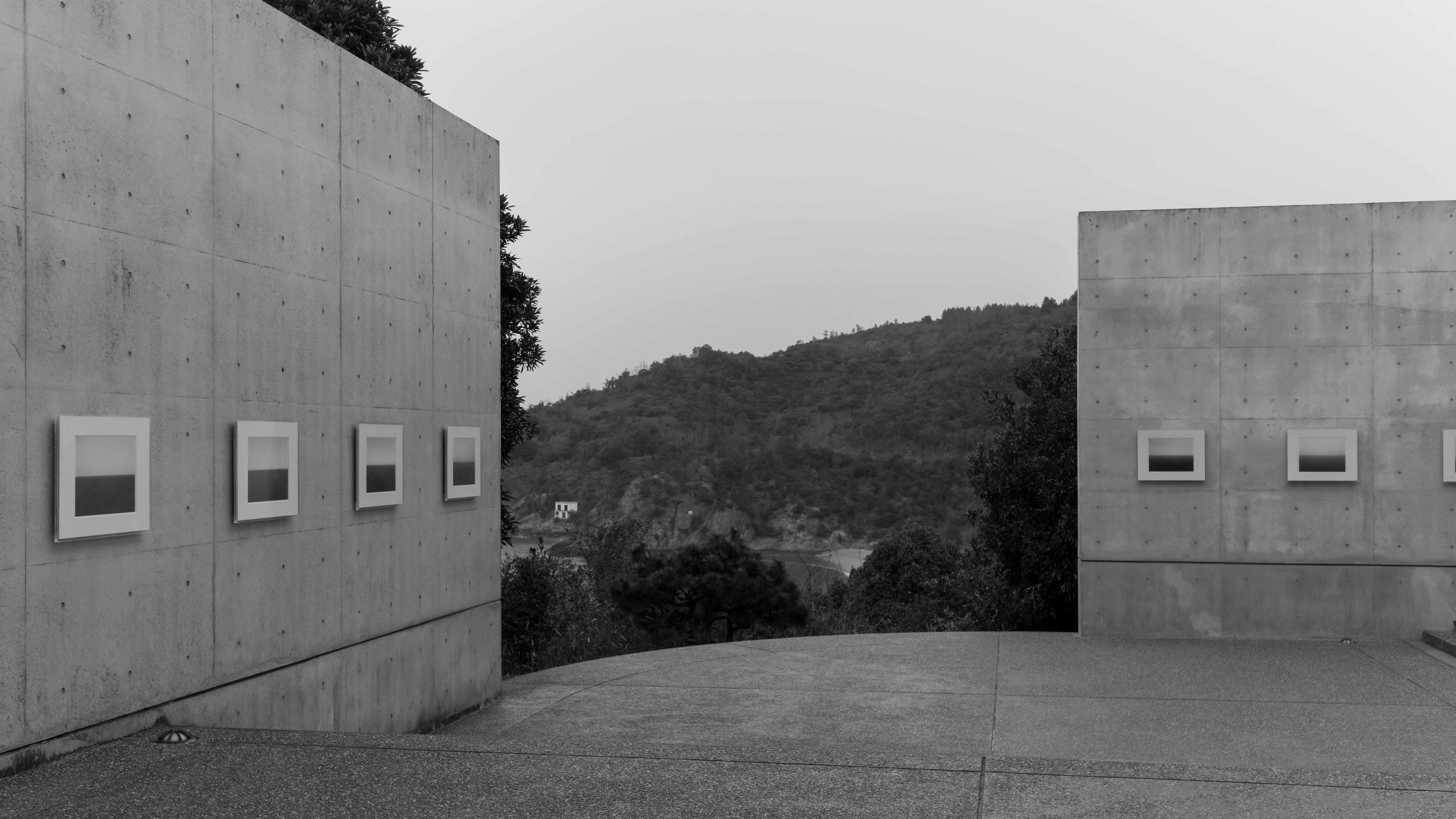
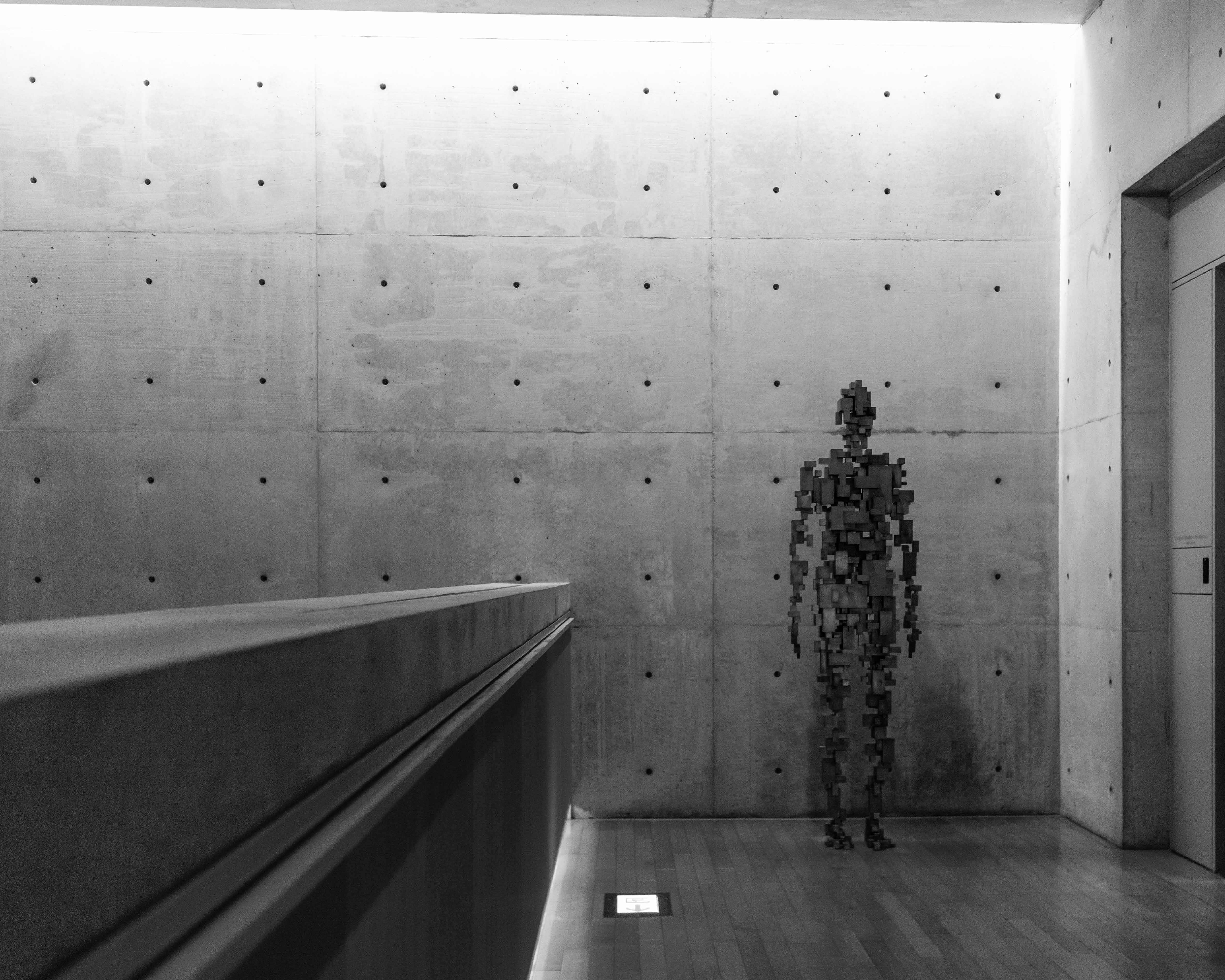
You may ask, what is the attraction to Naoshima? Well, over the last several decades, the south end of the island has become a centre for art and architecture. Benesse House is an organization that works to incorporate art into the local landscape. And when I say into, I mean “into”. The hotel and art museum, which opened in 1992, were designed by renowned Japanese architect Tadao Ando to fit seamlessly into the landscape. One of the buildings, the Chichu Art Museum, is completely underground. There are installations across the island, including multiple sites around the Benesse complex and several conceptual “art houses”.
Copyright for all photographs on the site is mine, unless noted.
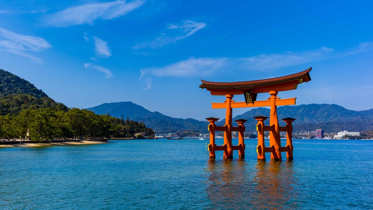
We thoroughly enjoyed our stay in Benesse House Park. The view out over the grounds and the sea was beautiful. Even in a steady rain, the setting was impressive—and in a way, the rain enhanced the appeal of the stark concrete buildings. The artwork at the site includes sculpture and photography. We made the short walk to the Museum, and stopped at a couple of the open-air installations along the way. And we had some great meals in the hotel restaurant. The striking feature image for this post was taken just as the sky cleared after dinner on our second day.
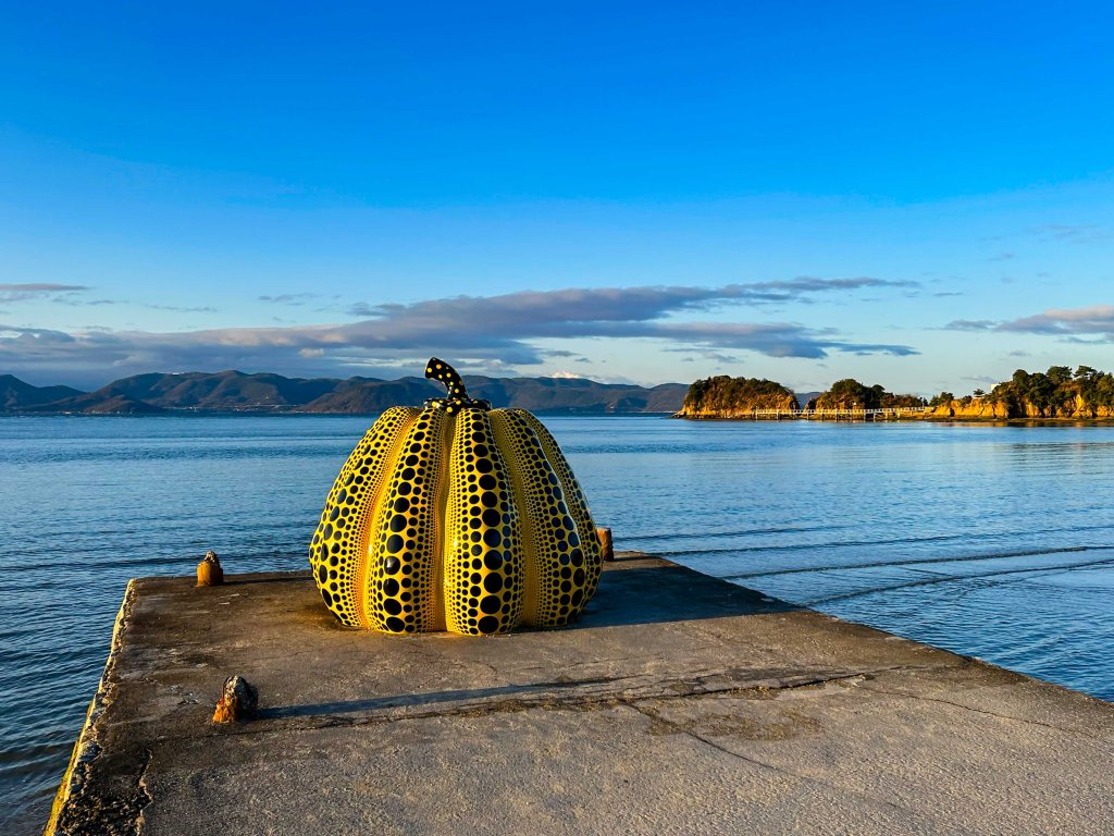
The most famous piece on the site, Pumpkin, is a large sculpture by Yayoi Kusama. Pumpkin sits on its own pier a short distance from the hotel. It is definitely the most popular piece too, judging by the crowds that were snapping selfies with it. (I finally managed to get a nice photo of it when I went out for an early morning jog.) The piece was created for a 1994 exhibition of open air works around the museum. Adding to its appeal, the sculpture was blown out to sea (and rescued) in 2022.
Kusama, who is now 97 years old, has been an avantgarde artist for decades. Her pieces often include polka dots, which she attributes to hallucinations she had as a child. Other works of hers are found in Naoshima. We particularly liked her Narcissus Garden, a free form sculpture of stainless steel balls, installed in an open-air pavilion called the Valley Gallery.
Another large and popular Kusama pumpkin—this one red—is installed at the Miyanoura port. It made for a colourful picture when the ferry was moored close by. We enjoyed a short stroll around the town, which features a public bath that doubles as an art installation. Maybe on our next visit…

The Hot Springs of Kinosaki-onsen
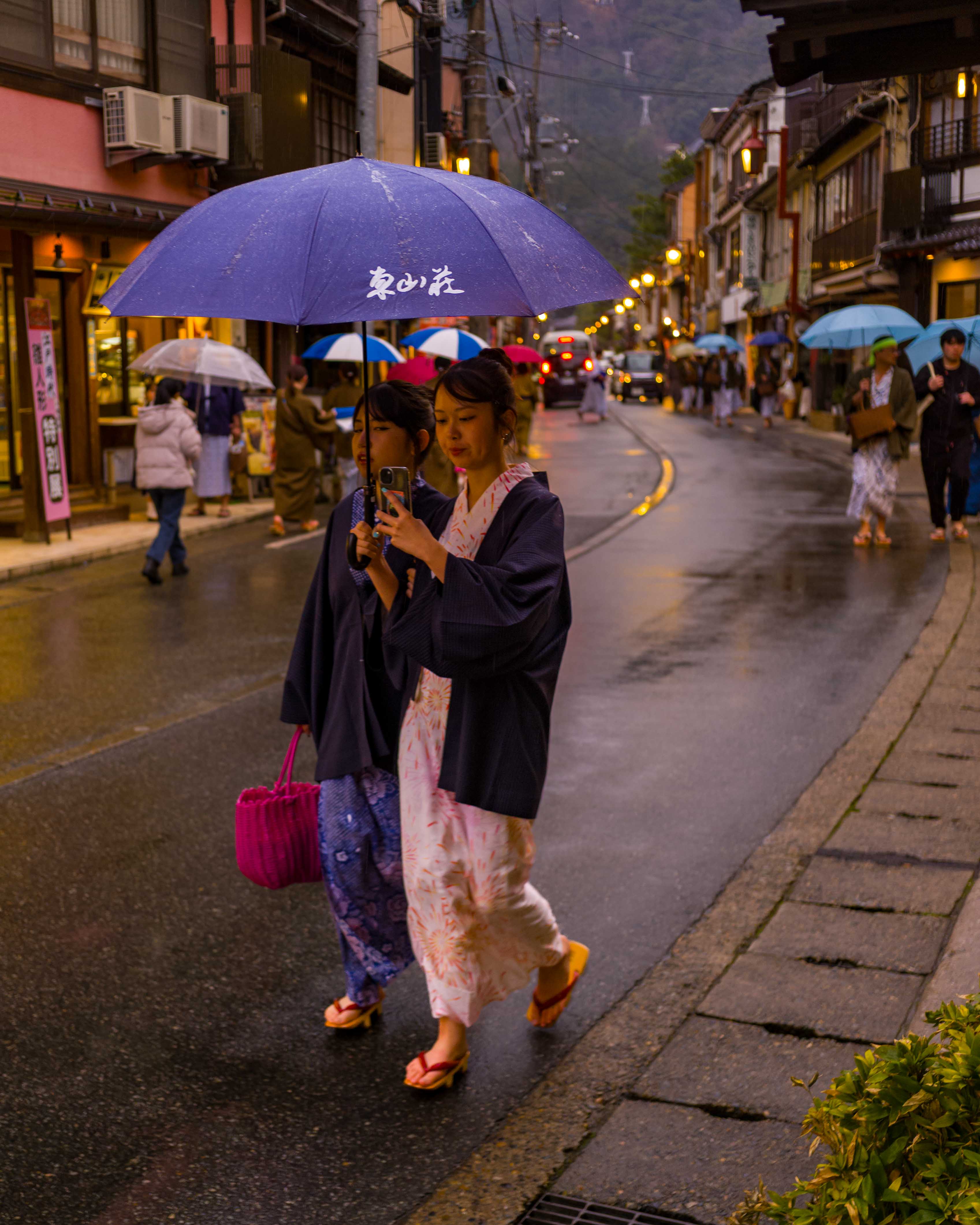
Our next major stop in Japan was similar to Naoshima in one respect—it was rather remote. However, its attractions were quite different. We headed to Kinosaki-onsen, on the northern coast of the Kansai region. Onsen are traditional Japanese hot springs, treasured for their mineral-rich waters. The town of Kinosaki is particularly famous, as it has seven public baths where visitors can experience the relaxing geothermal waters in a serene setting.
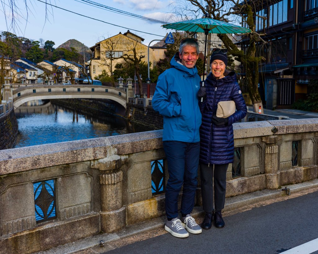
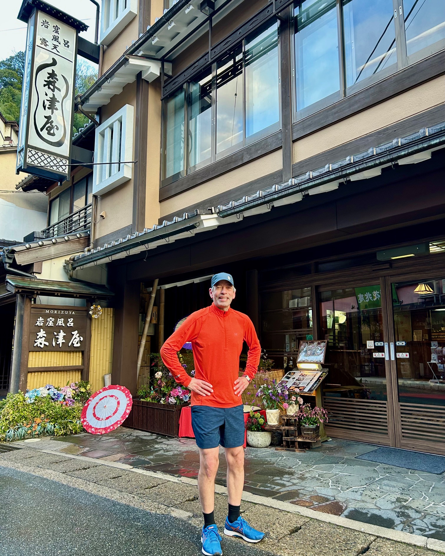
Our JR West regional train got us to Kinosaki at less than Shinkansen speed, but was just as efficient. While we had brushed up on the etiquette for visiting onsen, we really weren’t sure what to expect. We arrived at our ryokan, the comfortable Morizuya Inn on the town’s picturesque main street. Hatchi, the owner/manager, immediately made us feel welcome, even insisting on some photos on a scenic bridge over the Otoni River.
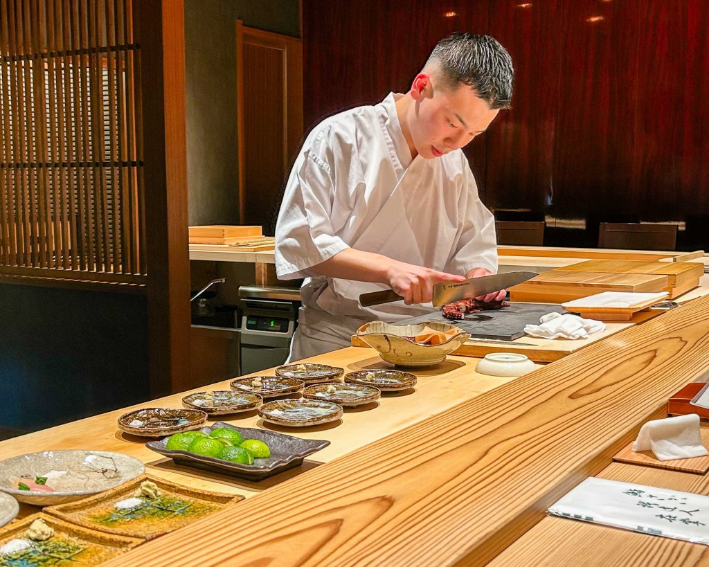
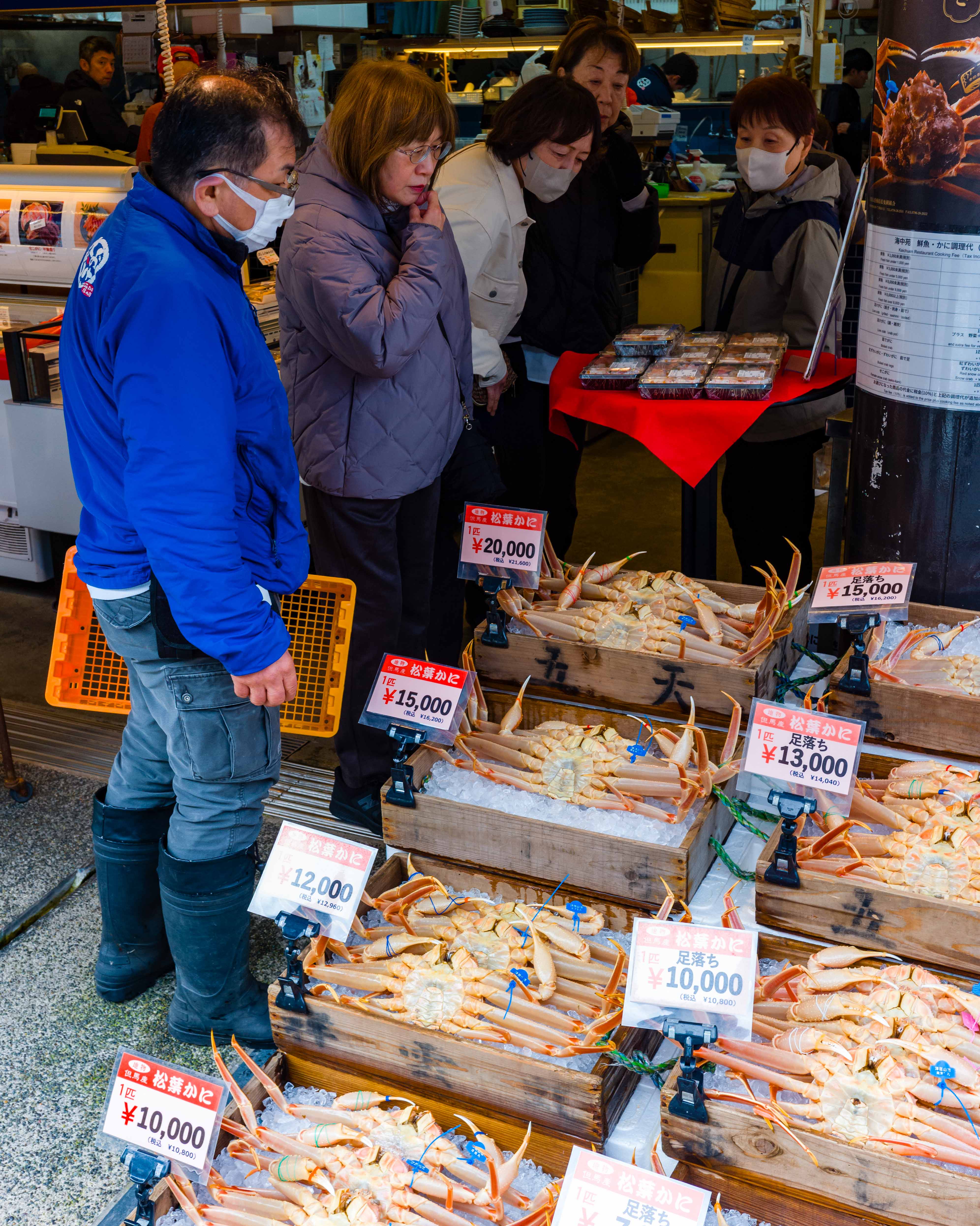
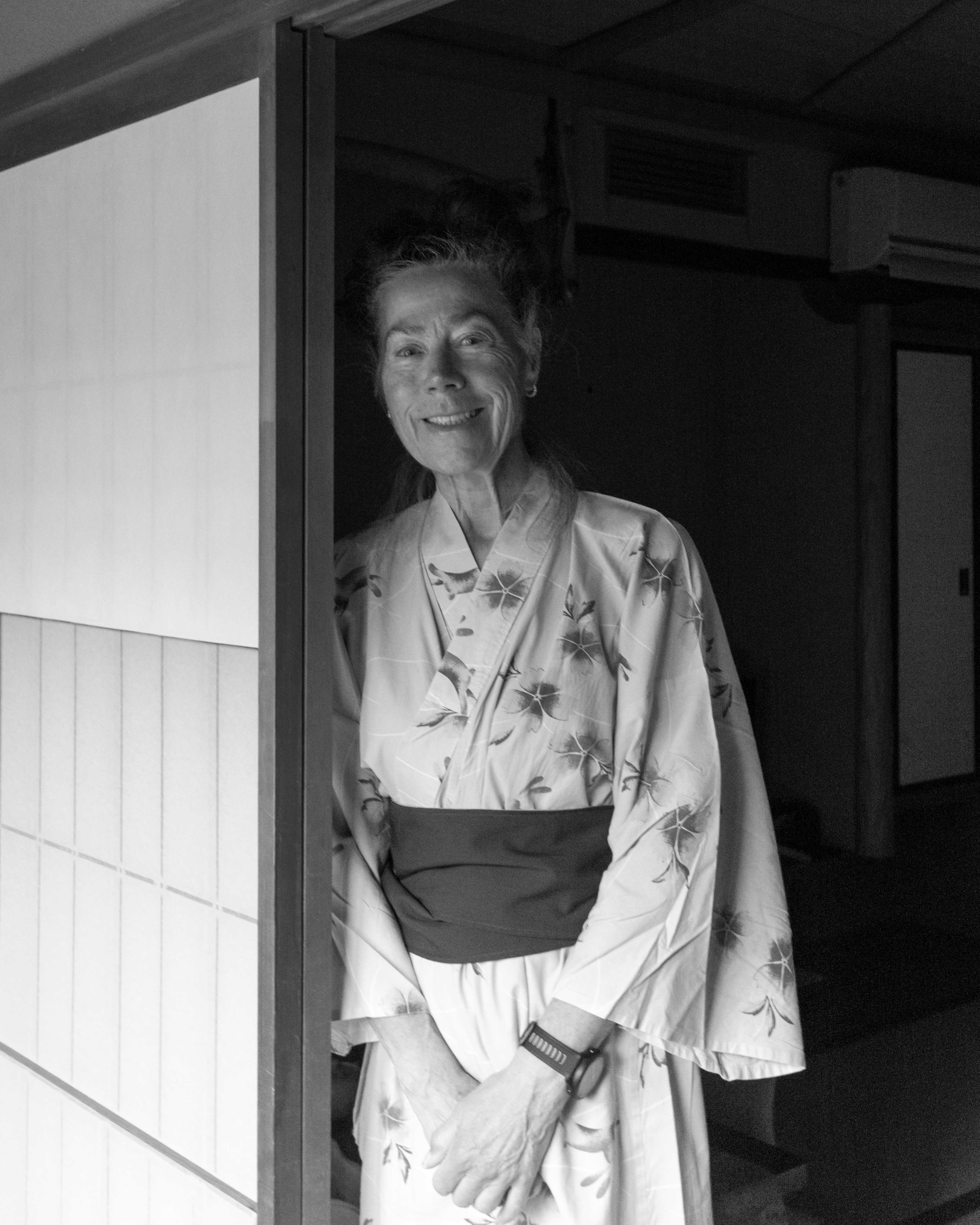
First things first, we put on our yukata (dressing gowns) and enjoyed a traditional multi-course dinner in the dining room. Crab is the local specialty, it was in season, and it was definitely a highlight of our meal.
Many visitors make it a goal to see all the traditional onsens in the town. They can even get a stamp from each one as a souvenir. We set our sights a little lower, having never been to a public bath in Japan. In the end, we visited two of them, and we enjoyed the experience. Very relaxing! We began to appreciate why this is such an important part of Japanese culture.
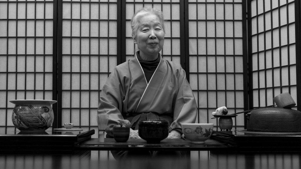
Later, we took part in another cultural experience—the tea ceremony, led by Hatchi’s mother. She is a lovely woman, and the ceremony was very special.
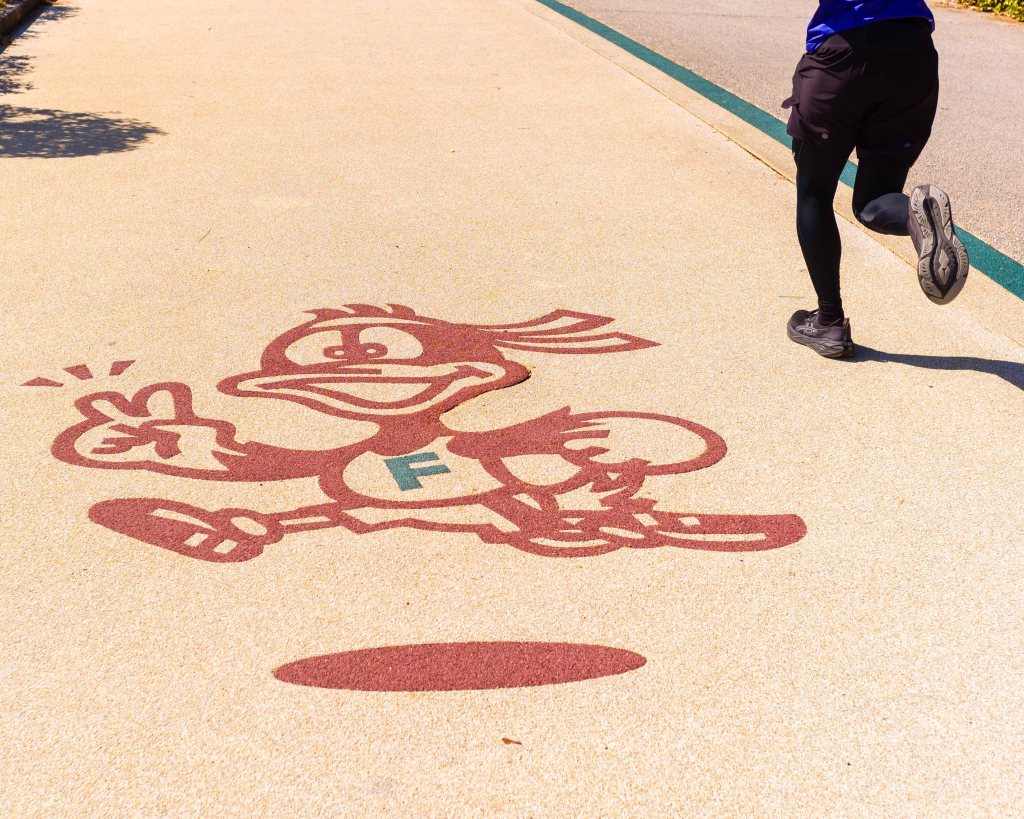
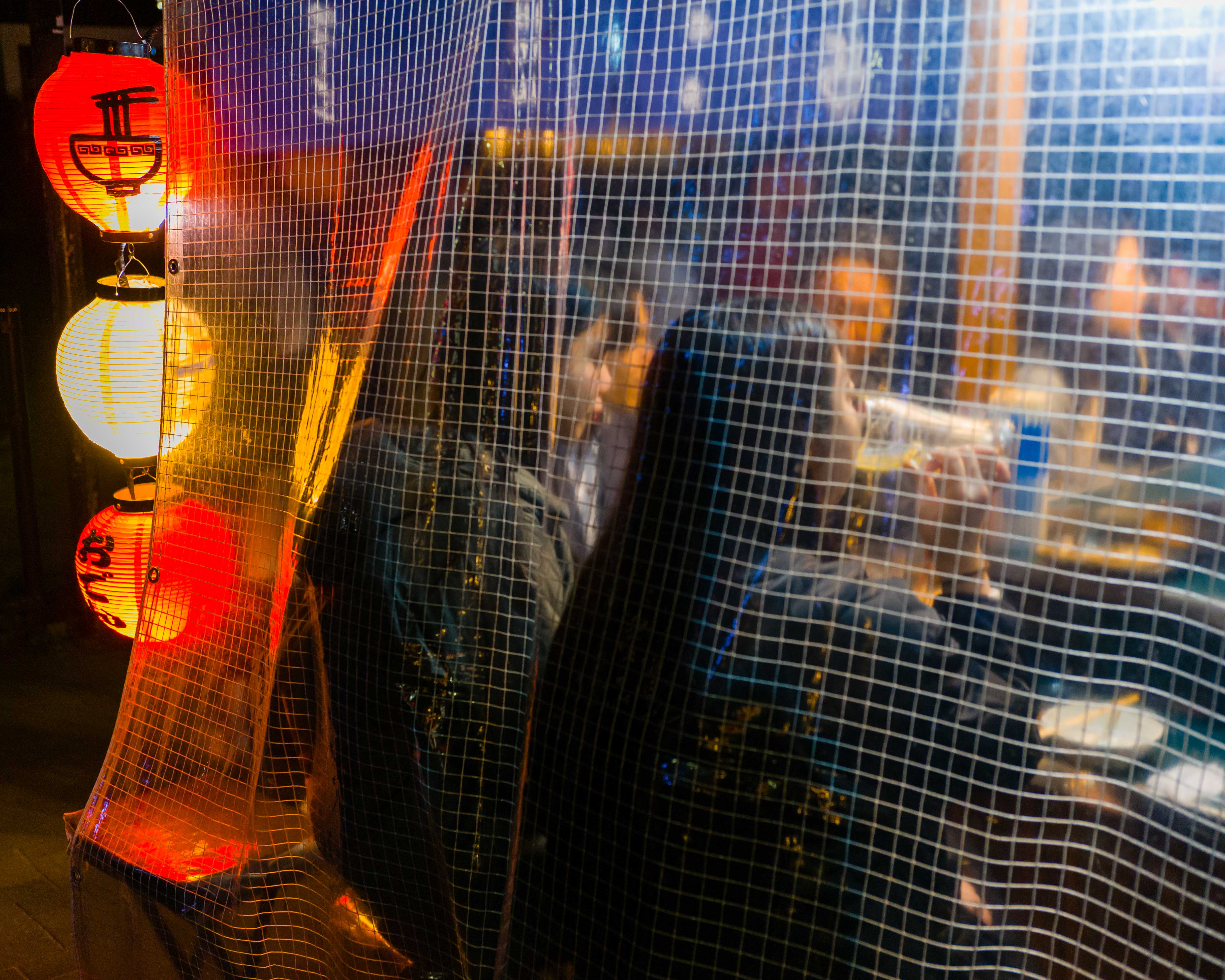
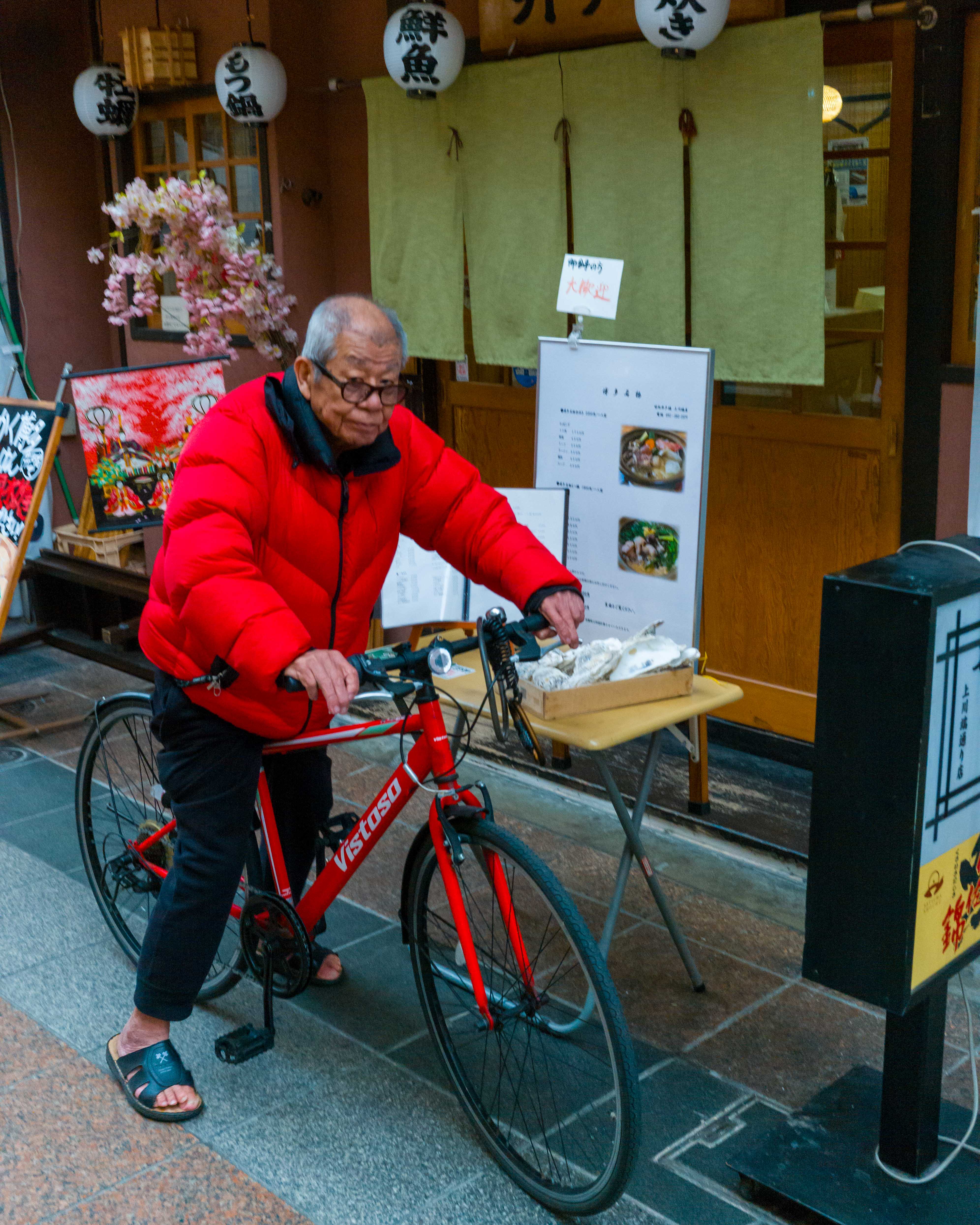
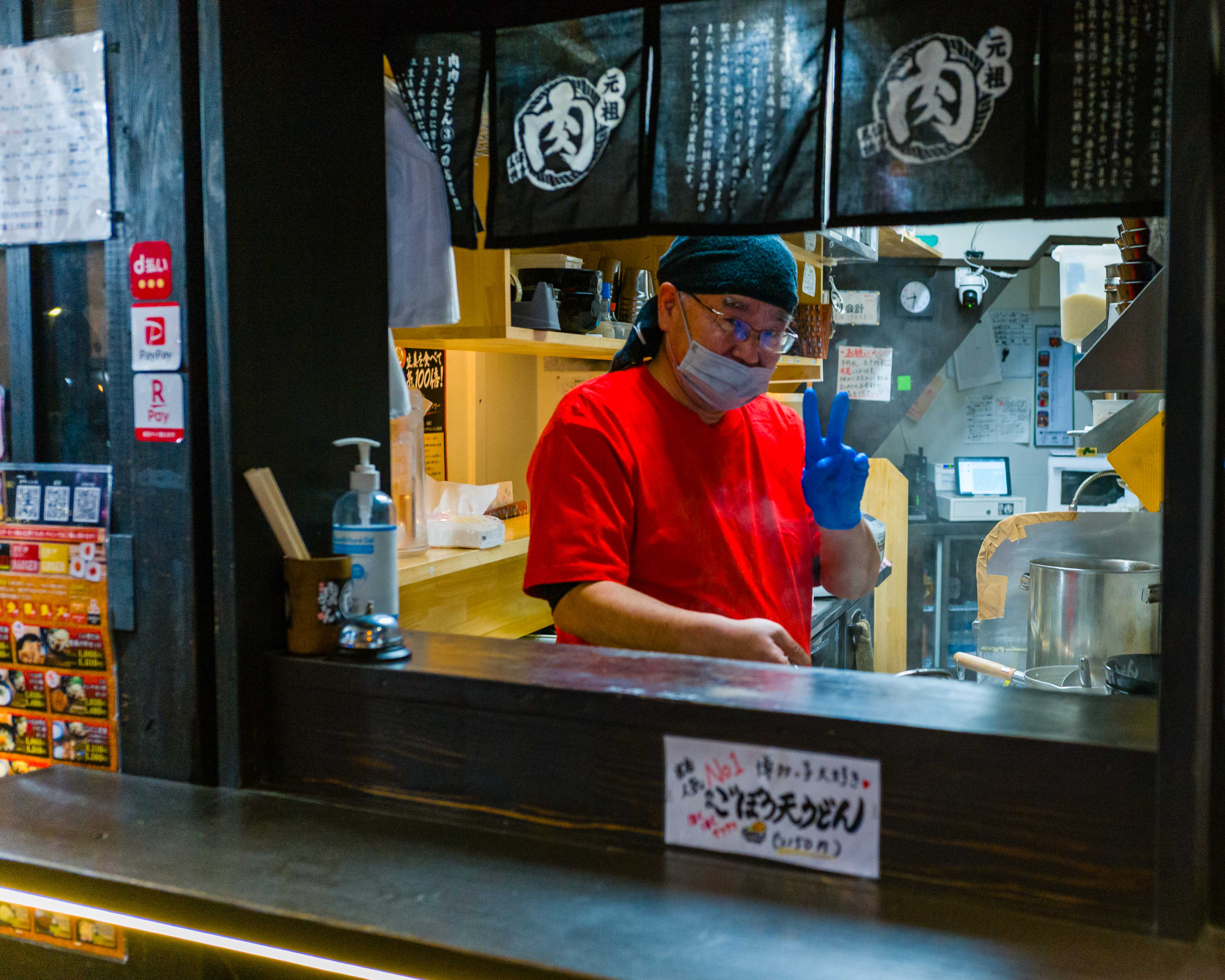
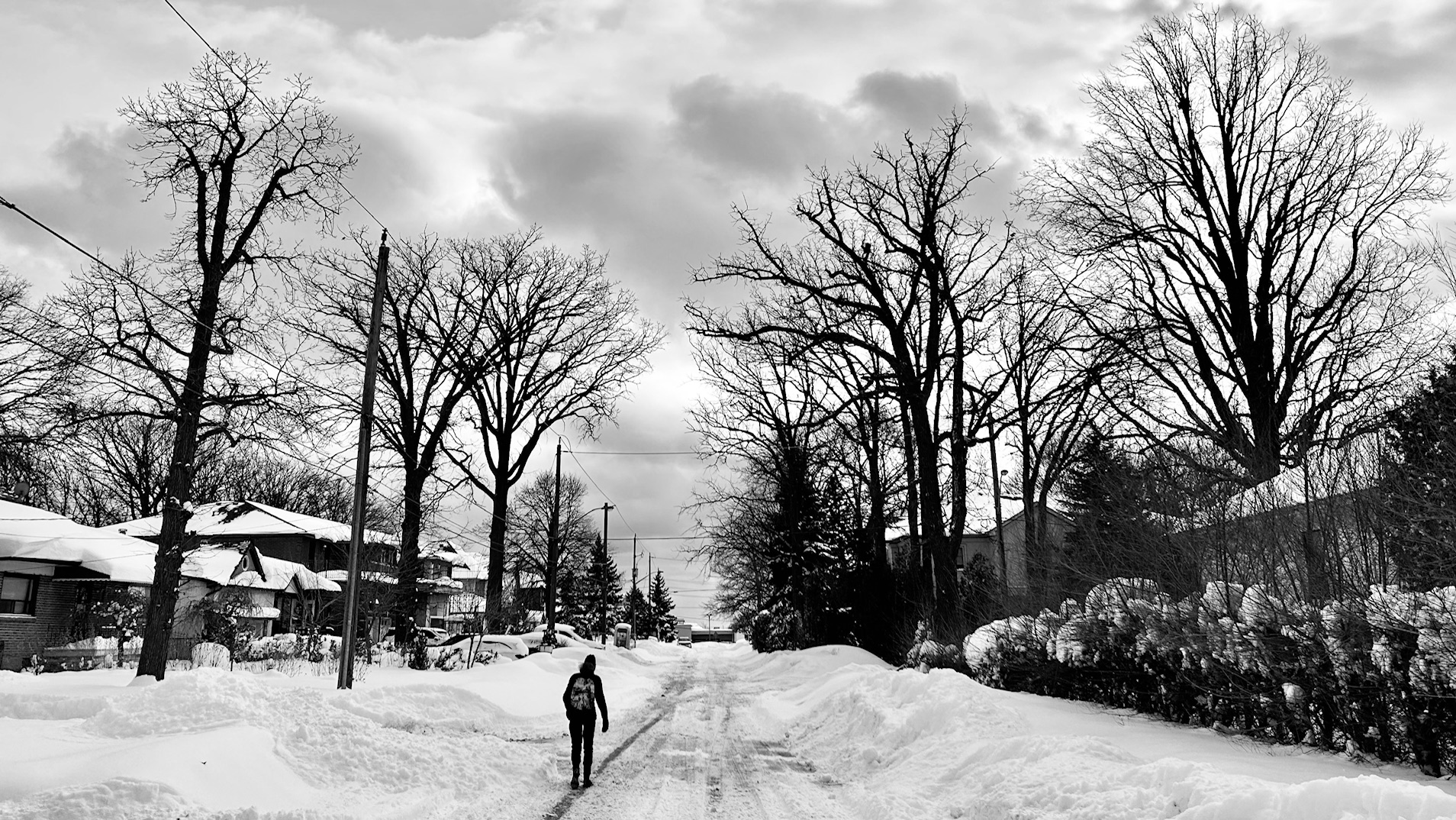
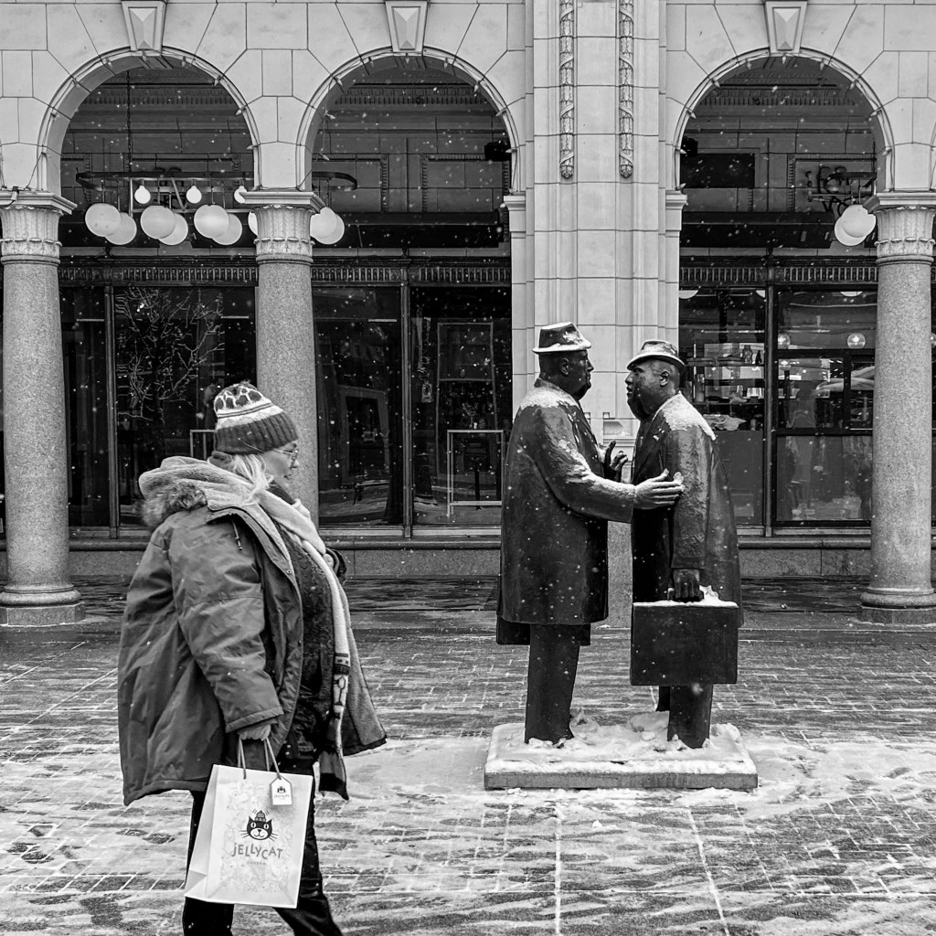
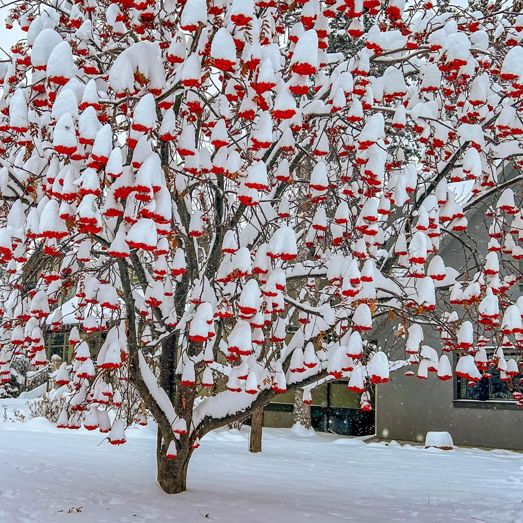
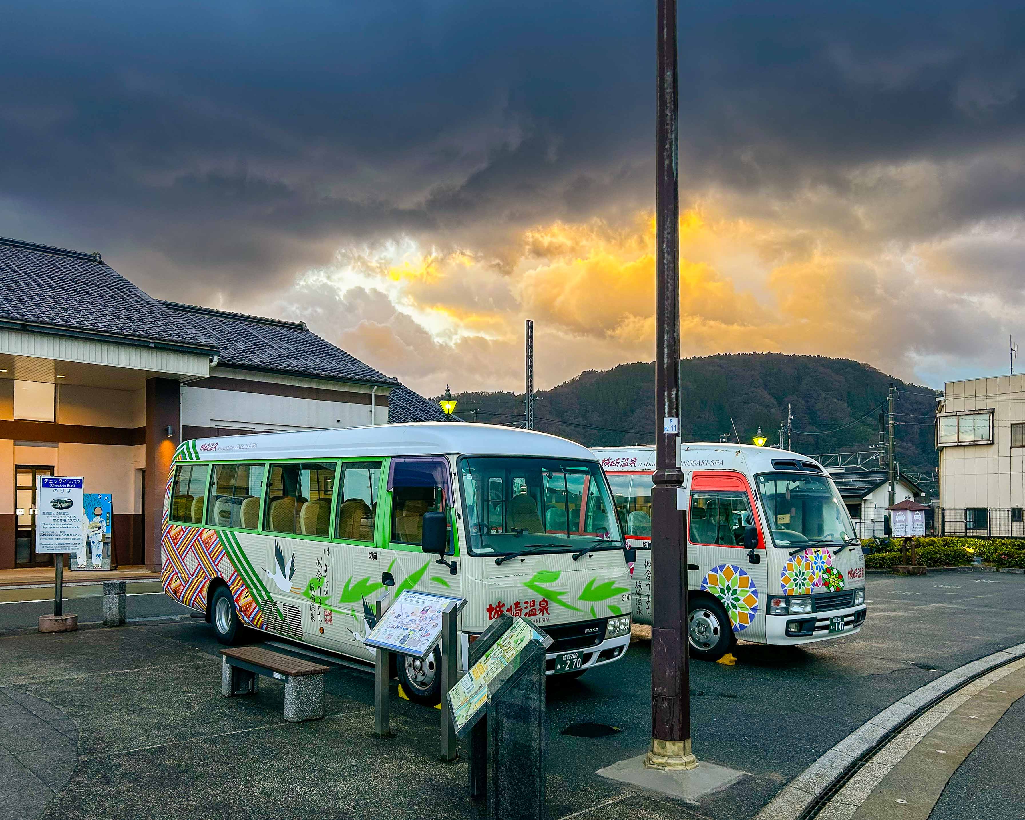
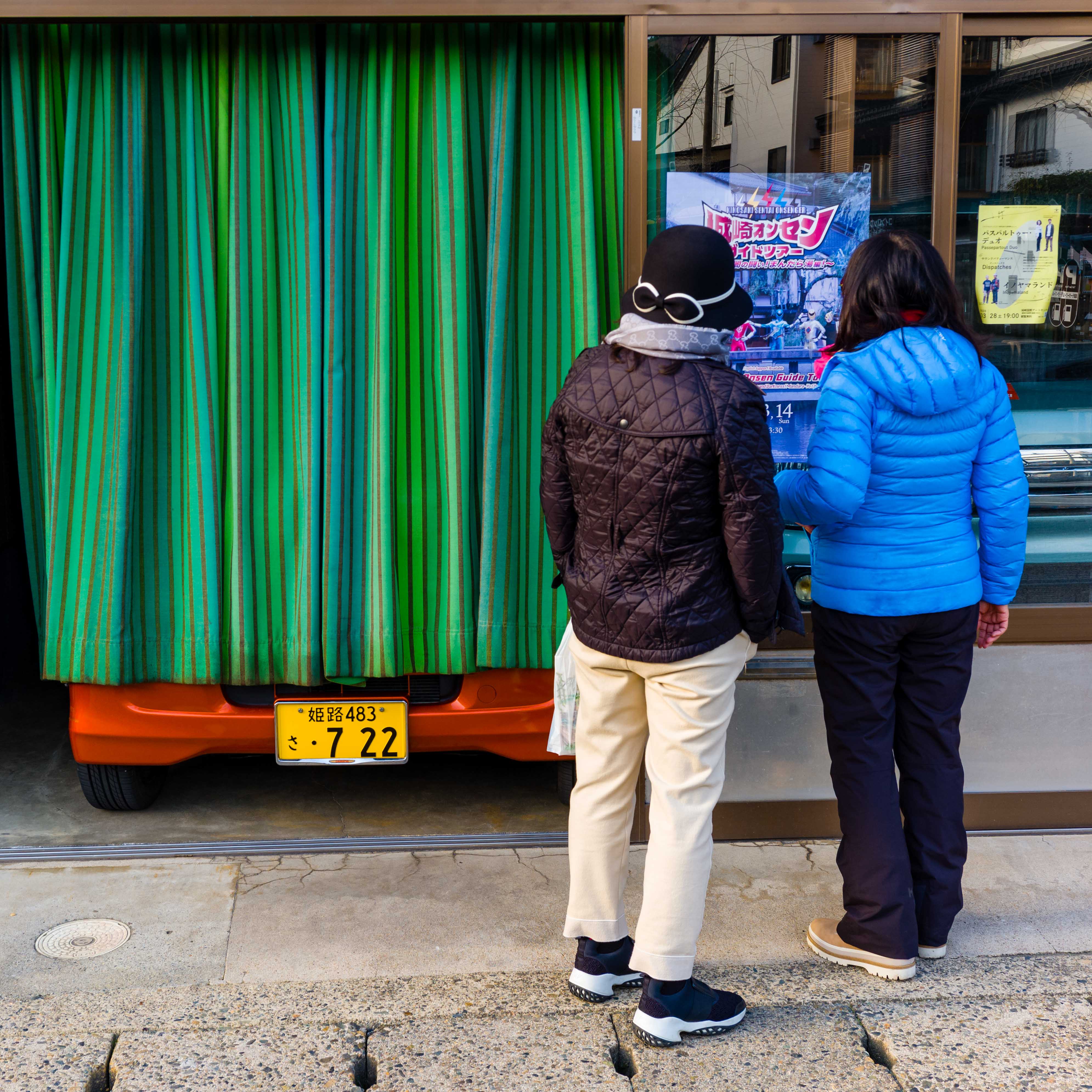
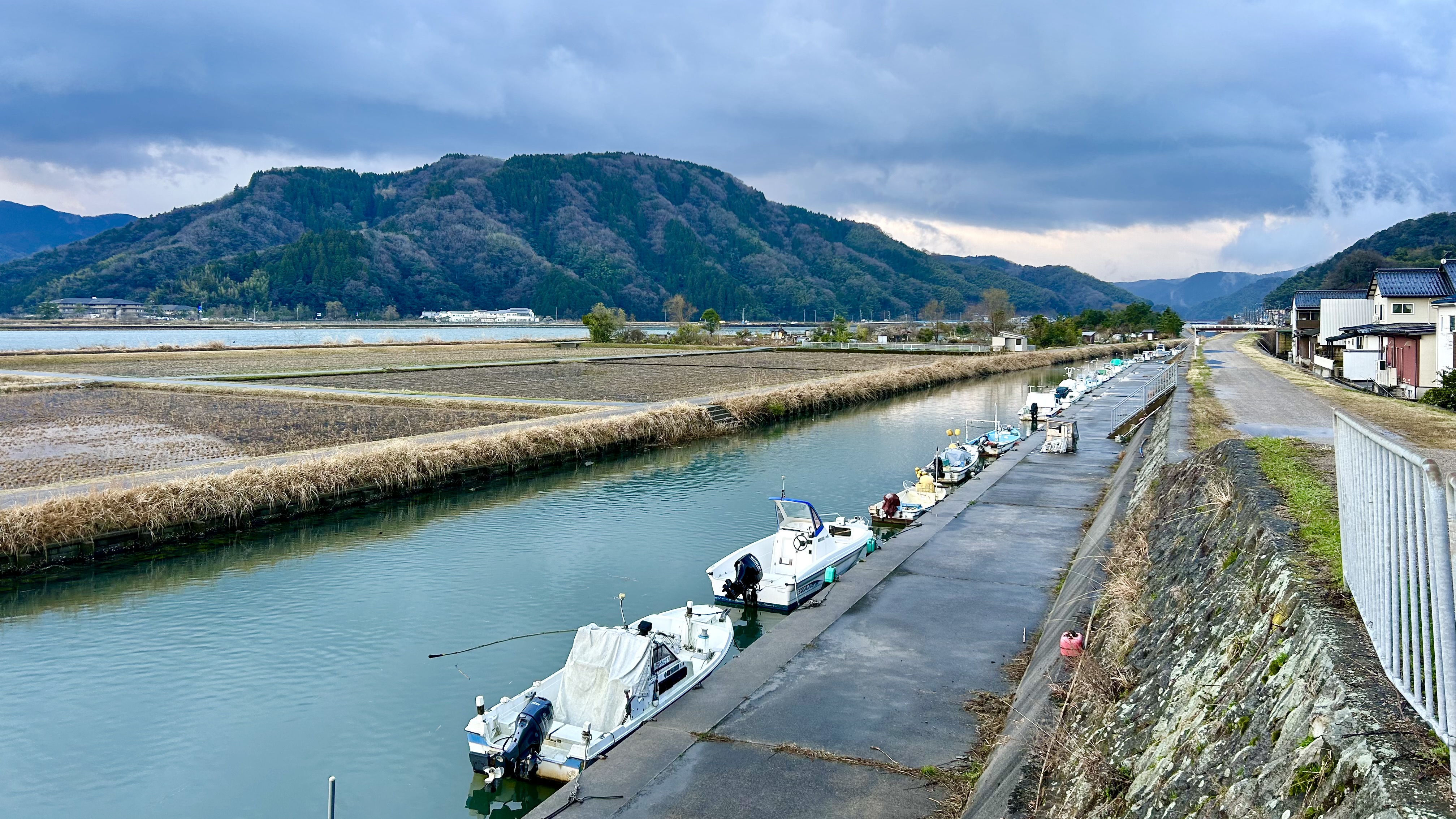
Here are a few pictures from our laid-back time in this unique place. The picture of two ladies looking at a store window reminded me of one of my favourite Fred Herzog photos. On our last morning in town, I had the streets to myself for an early morning jog, and I was treated to a magical sunrise. There was some overnight snow on the cars, but coming from Alberta that didn’t seem photo-worthy!
More Impressions
The middle part of our vacation brought many more positive impressions. We had been to opposite sides of the main island, and seen two very different places—the first celebrated man’s impact on the natural environment, while the other let us experience nature’s impact on us. The food was all extraordinary, especially the traditional Japanese meals. And the people were wonderful—so welcoming and respectful.
Up next were the major cities, Kyoto and Tokyo. Stay tuned for that.
Until then, be well and BE FAST!